Near Volga in Brookings County, South Dakota — The American Midwest (Upper Plains)
Oakwood Lakes Big Sioux River - Volga
August 15, 2021
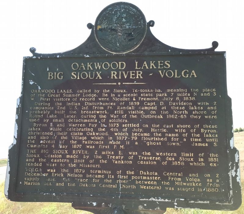
1. Oakwood Lakes Big Sioux River - Volga Marker
During the Indian Disturbances of 1859 Capt. D. Davidson with 2 companies 2nd U. S. Inf. from Ft. Randall camped at these lakes and probably built the breastwork, still visible, on the North shore of Round Lake. Later, during the War of the Outbreak 1862-65 they were used by small detachments of soldiers.
Byron E. and Warren Pay in 1873 settled on the east shore of these lakes. While celebrating the 4th of July, Hattie, wife of Byron, christened their claim Oakwood, which became the name of the lakes and also of the Village which in 1877-79 flourished for a time until the advent of the railroads made it a "ghost town." James S. Cummins 4 May 1877 was first P. M.
The Big Sioux River, 2 miles E, was the western limit of the Sioux Cession made by the Treaty of Traverse des Sioux in 1851 and the eastern limit of the Yankton cession of 1858 which extended west to the Missouri.
Volga was the 1879 terminus of the Dakota
this page online
Erected 1956 by Brookings County Historical Association and South Dakota Highway Commission. (Marker Number 122.)
Topics and series. This historical marker is listed in these topic lists: Indigenous Peoples and Communities • Settlements & Settlers • Waterways & Vessels. In addition, it is included in the South Dakota State Historical Society Markers series list. A significant historical date for this entry is July 8, 1838.
Location. 44° 19.571′ N, 96° 55.891′ W. Marker is near Volga, South Dakota, in Brookings County. It is on 211th Street (U.S. 81) 1.1 miles west of Caspian Avenue, on the right when traveling west. Touch for map. Marker is in this post office area: Volga SD 57071, United States of America. Touch for directions.

Regionally, this marker is in East River. It is also in the American Midwest, in the Lewis & Clark Corridor, in the Corn Belt, on the prairies, and on the Northern Plains. Globally,
August 15, 2021
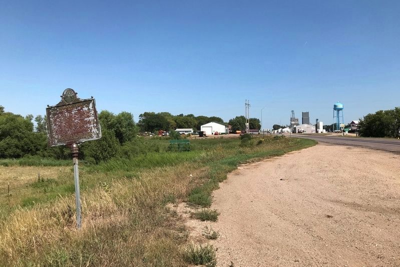
2. Oakwood Lakes Big Sioux River - Volga Marker, from the west
Other nearby markers. At least 8 other markers are within 6 miles of this marker, measured as the crow flies: District 89 Medary Twp. School (approx. 0.2 miles away); Sundet Log Cabin (approx. 0.2 miles away); J. L. Hall Property Donation (approx. ¼ mile away); Doc & Roma Peeke Park (approx. ¼ mile away); Wolfe and Blase Land Donation Recognition (approx. ¼ mile away); Volga, South Dakota Veterans Memorial (approx. ¼ mile away); Volga Auditorium (approx. 0.3 miles away); Brookings County Veterans Memorial (approx. 6.1 miles away). Touch for a list and map of all markers in Volga.
August 15, 2021
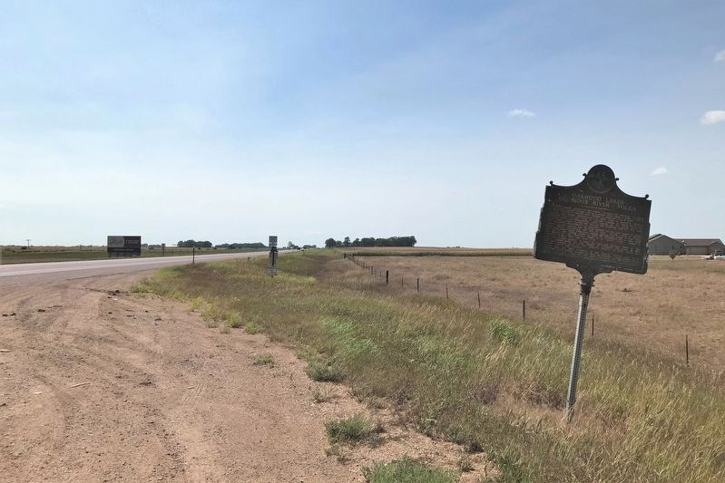
3. Oakwood Lakes Big Sioux River - Volga Marker, from the east
Credits. This page was last revised on August 21, 2021. It was originally submitted on August 18, 2021. This page has been viewed 339 times since then and 32 times this year. Photos: 1. submitted on August 18, 2021. 2, 3. submitted on August 19, 2021. • Mark Hilton was the editor who published this page.
