Otisville in Genesee County, Michigan — The American Midwest (Great Lakes)
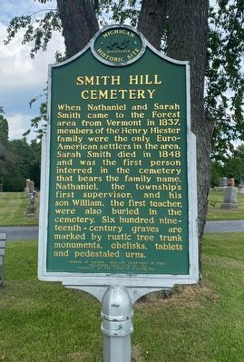
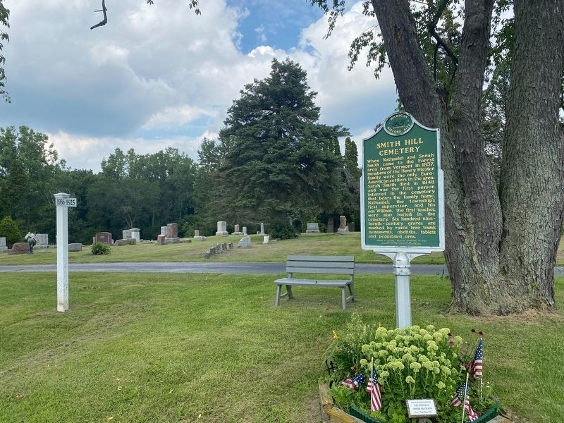
Smith Hill Cemetery
Erected 1993 by Bureau of History, Michigan Department of State. (Marker Number L1753.)
Topics and series. This historical marker is listed in this topic list: Cemeteries & Burial Sites. In addition, it is included in the Michigan Historical Commission series list. A significant historical year for this entry is 1848.
Location. 43° 9.284′ N, 83° 31.307′ W. Marker is in Otisville, Michigan, in Genesee County. Marker is on North State Road, 0.2 miles north of East Dodge Road, on the right when traveling north. Touch for map. Marker is at or near this postal address: 10082 N State Rd, Otisville MI 48463, United States of America. Touch for directions.
Other nearby markers. At least 8 other markers are within 6 miles of this marker, measured as the crow flies. Otisville High School (approx. 0.8 miles away); The Country School (approx. 0.8 miles away); E. S. Swayze Drugstore (approx. 0.8 miles away); Laing-Mason House (approx. 2.6 miles away); West Forest United Methodist Church (approx. 3.7 miles away); The William Peter Mansion (approx. 5.6 miles away); United Methodist Church (approx. 5.6 miles away); Columbiaville Depot (approx. 5.7 miles away). Touch for a list and map of all markers in Otisville.
Credits. This page was last revised on August 21, 2021. It was originally submitted on August 19, 2021, by J.T. Lambrou of New Boston, Michigan. This page has been viewed 155 times since then and 25 times this year. Photos: 1, 2. submitted on August 19, 2021, by J.T. Lambrou of New Boston, Michigan. • Mark Hilton was the editor who published this page.

