Lovingston in Nelson County, Virginia — The American South (Mid-Atlantic)
Hurricane Camille Memorial
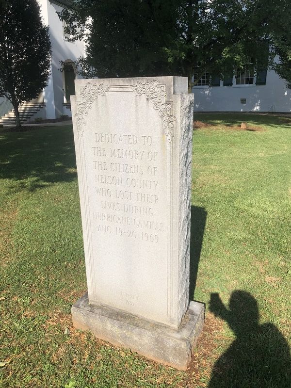
Erected by Nelson County, Virginia.
Topics. This historical marker and memorial is listed in these topic lists: Disasters • Waterways & Vessels. A significant historical date for this entry is August 19, 1969.
Location. 37° 45.589′ N, 78° 52.171′ W. Marker is in Lovingston, Virginia, in Nelson County. It is at the intersection of Court Street (Virginia Route 1001) and Main Street, on the right when traveling north on Court Street. Touch for map. Marker is at or near this postal address: 402 Court St, Lovingston VA 22949, United States of America. Touch for directions.

Regionally, this marker and memorial is in the Piedmont and in Central Virginia. It is also in the American South and specifically in the Upper South. Globally, it is in North America, the Western Hemisphere, the Western World, and the Anglosphere. Historically, it finds itself in what was once the territory of the Mississippian Culture, one of the original Thirteen Colonies, one of the Confederate States of America, and the
this page online
Other nearby markers. At least 8 other markers are within 4 miles of this marker, measured as the crow flies: Confederate Memorial (a few steps from this marker); Nelson County World War Memorial (within shouting distance of this marker); Nelson County World War II Memorial (within shouting distance of this marker); Nelson County Courthouse (within shouting distance of this marker); Lovingston (about 400 feet away, measured in a direct line); Nelson Memorial Library (approx. 0.8 miles away); Lovingston High School (approx. 0.9 miles away); Peter Cartwright (approx. 3.6 miles away). Touch for a list and map of all markers in Lovingston.
Another marker is no longer nearby. Lovingston (was about 400 feet away but has been replaced with another marker now near it).
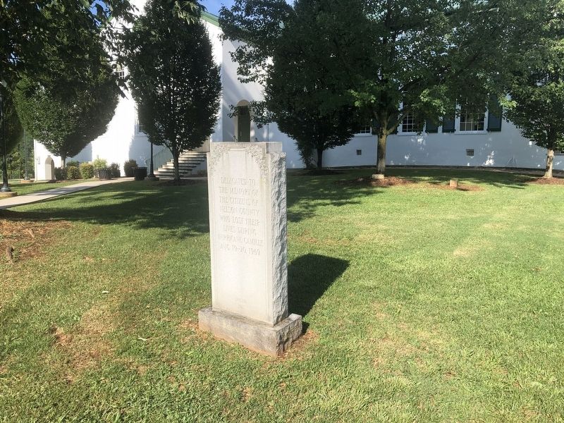
Credits. This page was last revised on August 19, 2021. It was originally submitted on August 19, 2021, by Devry Becker Jones of Washington, District of Columbia. This page has been viewed 445 times since then and 42 times this year. Photos: 1, 2. submitted on August 19, 2021, by Devry Becker Jones of Washington, District of Columbia.
