Near Hammond in St. Lawrence County, New York — The American Northeast (Mid-Atlantic)
War of 1812
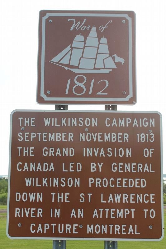
The Wilkinson Campaign
Photographed by Robert Rusaw, August 16, 2021
1. War of 1812 Marker
The grand invasion of Canada
led by General Wilkinson proceeded
down the St. Lawrence River in an
attempt to capture Montreal.
Topics. This historical marker is listed in these topic lists: Patriots & Patriotism • War of 1812 • Waterways & Vessels. A significant historical month for this entry is September 1813.
Location. 44° 28.693′ N, 75° 46.235′ W. Marker is near Hammond, New York, in St. Lawrence County. It is on New York State Route 12, on the left when traveling north. Marker is at the state overlook. Touch for map. Marker is in this post office area: Hammond NY 13646, United States of America. Touch for directions.

Regionally, this marker is in Upstate New York and in the Adirondacks & North Country. It is also in the American Northeast and in the Mid-Atlantic. Globally, it is in North America, the Western Hemisphere, the Western World, and the Anglosphere. Historically, it finds itself in what was once the Viceroyalty of New France, the Haudenosaunee (Iroquois) Confederacy, New Netherland, and one of the original Thirteen Colonies.
Other nearby markers. At least 8 other markers are within 3 miles of this marker, measured as the crow flies: The Chippewa Bay Area (a few steps from this marker); Singer Castle on Dark Island (a few steps from this marker); The Thousand Islands (a few steps from this marker); Crossover Island (approx. 1.1 miles away); Oak Point (approx. 2.7 miles away); Dark Island (approx. 2.7 miles away); Frederick Gilbert Bourne (approx. 2.7 miles away); Inspiration for Bourne's Castle (approx. 2.7 miles away). Touch for a list and map of all markers in Hammond.
this page online
Photographed by William Fischer, Jr., October 9, 2022
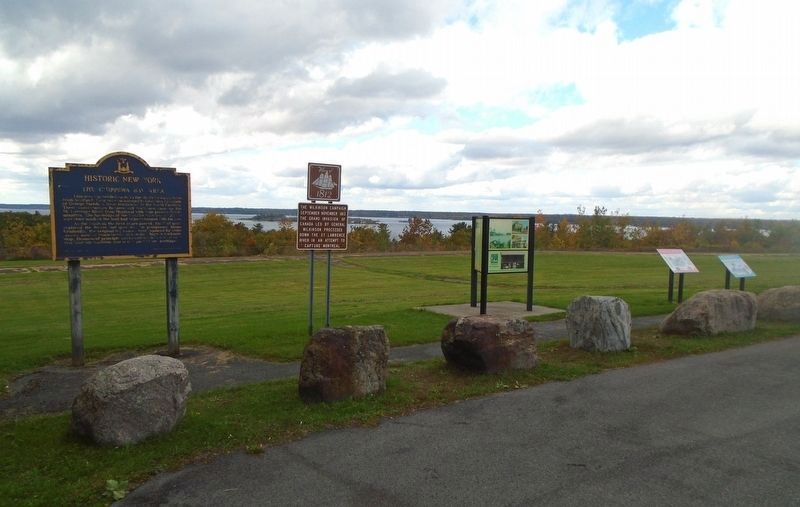
2. War of 1812 Marker
Photographed by Robert Rusaw, August 16, 2021
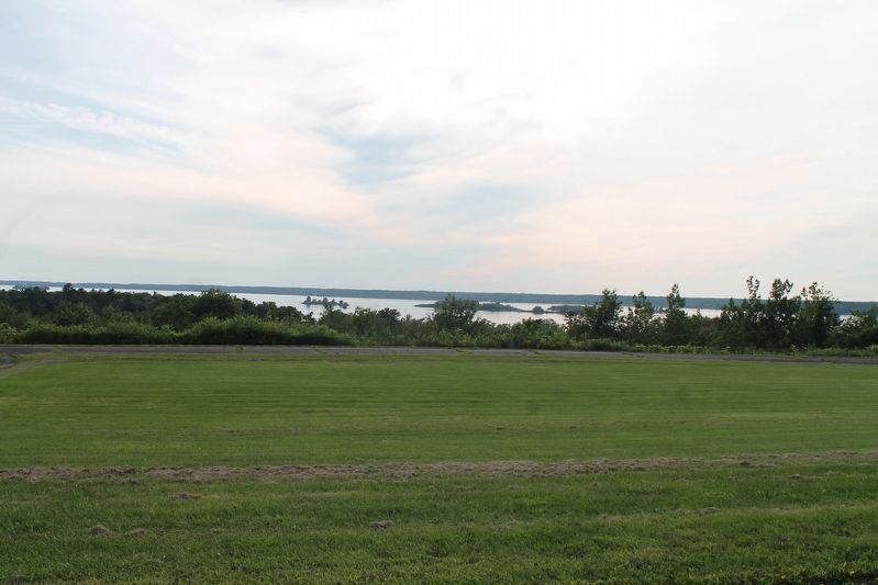
3. St. Lawrence River
Photographed by Robert Rusaw, August 16, 2021
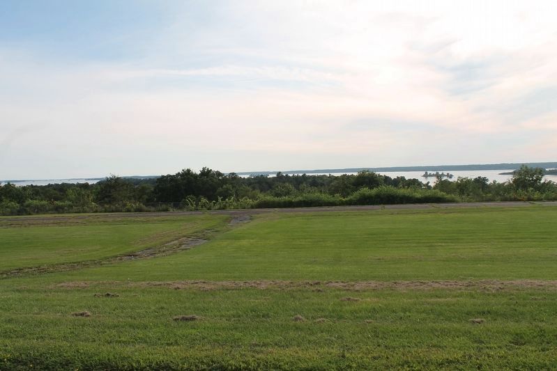
4. St. Lawrence River
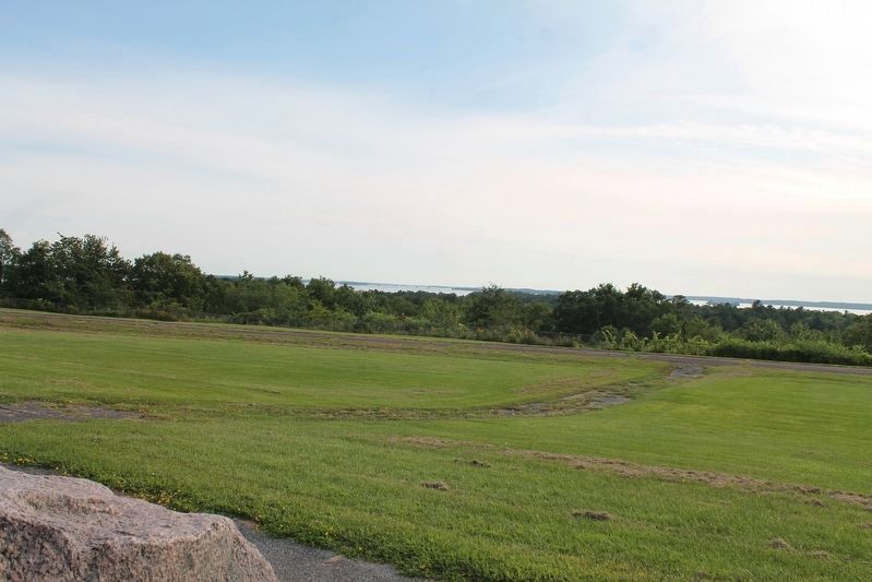
Photographed by Robert Rusaw, August 16, 2021
5. St. Lawrence River
Credits. This page was last revised on October 10, 2022. It was originally submitted on August 19, 2021, by Robert Rusaw of Massena, New York. This page has been viewed 383 times since then and 16 times this year. Photos: 1. submitted on August 19, 2021, by Robert Rusaw of Massena, New York. 2. submitted on October 10, 2022, by William Fischer, Jr. of Reynoldsburg, Ohio. 3, 4, 5. submitted on August 19, 2021, by Robert Rusaw of Massena, New York. • Bill Pfingsten was the editor who published this page.
