Alton in Oregon County, Missouri — The American Midwest (Upper Plains)
Oregon County
[side 1]
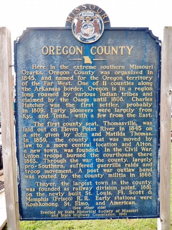
Here in the extreme southern Missouri Ozarks, Oregon County was organized in 1845, and named for the Oregon Territory of the Far West. One of 11 counties along the Arkansas border, Oregon is in a region long roamed by various Indian tribes and claimed by the Osage until 1808. Charles Hatcher was the first settler, probably in 1809. Early pioneers were largely from Ky., and Tenn., with a few from the East.
The first county seat, Thomasville, was laid out on Eleven Point River in 1845 on a site given by John and Matilda Thomas. In 1859, the county seat was moved by law to a more central location and Alton, a new town, was founded. In the Civil War, Union troops burned the courthouse there 1863. Through the war the county, largely pro-Southern, suffered guerrilla raids and troop movement. A post war outlaw band was routed by the county militia in 1868.
Thayer, the largest town in the county, was founded as railway division point, 1881, on the newly built St. Louis, Ft. Scott & Memphis (Frisco) R.R. Early stations were Koshkonong, St. Elmo, and American.
[side 2]
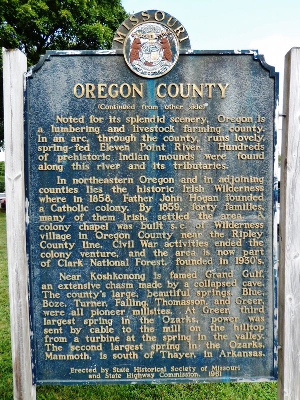
Noted for its splendid scenery, Oregon is a lumbering and livestock farming county. In an arc, through the county, runs lovely, spring-fed Eleven Point River. Hundreds of prehistoric Indian mounds were found along this river and its tributaries.
In northeastern Oregon and in adjoining counties lies the historic Irish Wilderness where in 1858, Father John Hogan founded a Catholic colony. By 1859, forty families, many of them Irish, settled the area. A colony chapel was built s.e. of Wilderness village in Oregon County near the Ripley County line. Civil War activities ended the colony venture, and the area is now part of Clark National Forest, founded in the 1930s.
Near Koshkonong is famed Grand Gulf, an extensive chasm made by a collapsed cave. The county's large, beautiful springs, Blue, Boze, Turner, Falling, Thomasson, and Greer, were all pioneer mill sites. At Greer, third largest spring in the Ozarks, power was sent by cable to the mill on the hilltop from a turbine at the spring in the valley. The second largest spring in the Ozarks, Mammoth, is south of Thayer, in Arkansas.
Erected 1961 by State Historical Society of Missouri; and State Highway Commission.
Topics and series. This historical marker is listed in these topic lists: Native Americans • Railroads & Streetcars • Settlements & Settlers • War, US Civil. In addition, it is included in the Missouri, The State Historical Society of series list. A significant historical year for this entry is 1845.
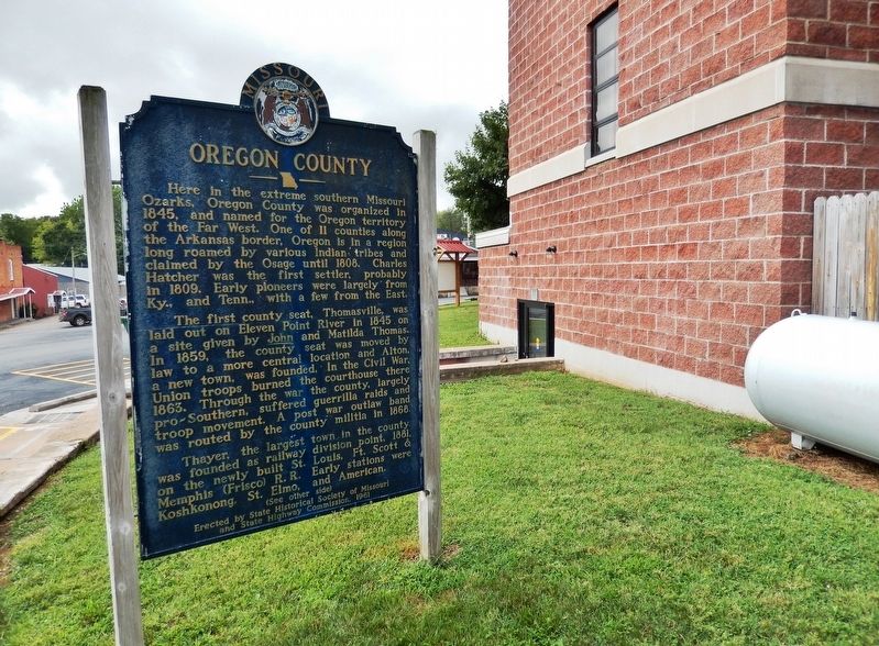
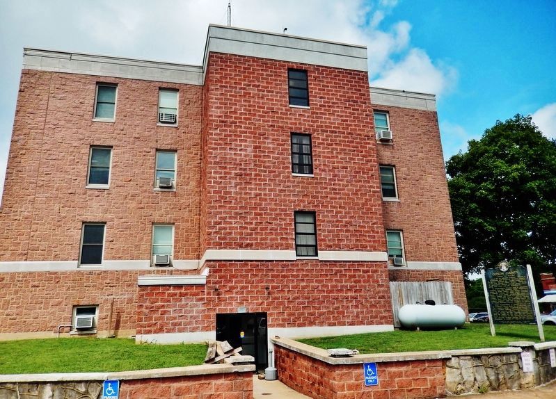
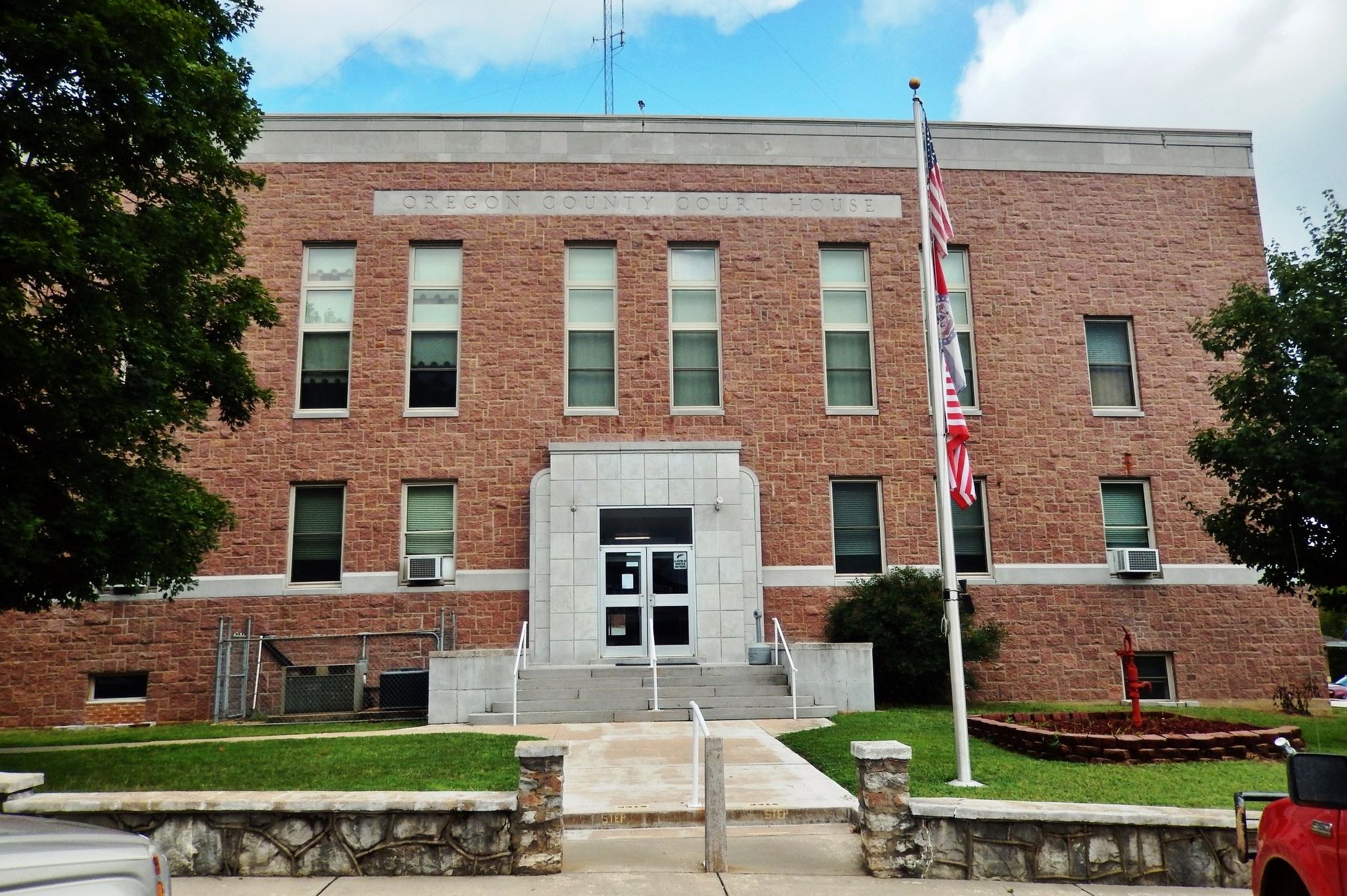
Location. 36° 41.668′ N, 91° 23.874′ W. Marker is in Alton, Missouri, in Oregon County. Marker is on Main Street just south of Broadway Street, on the left when traveling north. Marker is located on the Oregon County Courthouse grounds, near the northeast corner of the courthouse. Touch for map. Marker is at or near this postal address: 1 Court Square, Alton MO 65606, United States of America. Touch for directions.
Other nearby markers. At least 8 other markers are within 16 miles of this marker, measured as the crow flies. Frisco Caboose 1176 (approx. 15.7 miles away in Arkansas); Mammoth Spring Depot (approx. 15.7 miles away in Arkansas); a different marker also named Mammoth Spring Depot (approx. 15.7 miles away in Arkansas); Civil War in Fulton County / Action at Salem (approx. 15.7 miles away in Arkansas); The Inspiration for The Grand Ole Opry (approx. 15.7 miles away in Arkansas); Old Soldier's Reunion (approx. 15.7 miles away in Arkansas); The Big Gun (approx. 15.7 miles away in Arkansas); What Am I Standing On? (approx. 15.7 miles away in Arkansas).
Also see . . .
1. Oregon County, Missouri (Wikipedia). Home to a large area of the Mark Twain National Forest, Oregon County contains more national forest acreage than any county in the state of Missouri. It also contains the Irish Wilderness, the largest federally protected wilderness area in the state. (Submitted on August 20, 2021, by Cosmos Mariner of Cape Canaveral, Florida.)
2. Oregon County, Missouri. The first settlers for a number of years were obliged to take their furs, peltries, and wild honey to Cape Girardeau, 135 miles distant , on horseback, and bring in return their goods by the same conveyance. (Submitted on August 20, 2021, by Cosmos Mariner of Cape Canaveral, Florida.)
3. Civil War History of Oregon County. The surrender of General Lee at Appomattox Courthouse did not end the Civil War in Oregon County. In many respects a greater and more lasting struggle was already in motion. Because of a lack of interest in occupying or controlling Oregon County after Price’s Raid, 1865 was a period of infiltration of lawless bands and a general disregard of any authority in the area. Deserters, freebooters, smugglers, thieves, both local and imported infested the hills and hollers and became powers unto themselves. (Submitted on August 20, 2021, by Cosmos Mariner of Cape Canaveral, Florida.)
Credits. This page was last revised on September 3, 2021. It was originally submitted on August 19, 2021, by Cosmos Mariner of Cape Canaveral, Florida. This page has been viewed 816 times since then and 137 times this year. Photos: 1. submitted on August 19, 2021, by Cosmos Mariner of Cape Canaveral, Florida. 2, 3, 4, 5. submitted on August 20, 2021, by Cosmos Mariner of Cape Canaveral, Florida.
