Near Vermillion in Clay County, South Dakota — The American Midwest (Upper Plains)
Bruyer Church
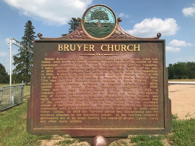
July 11, 2021
1. Bruyer Church Marker
this page online
Erected 1966 by Marquette Assembly, Knights of Columbus, Sioux Falls and South Dakota Highway Commission. (Marker Number 425.)
Topics and series. This historical marker is listed in these topic lists: Cemeteries & Burial Sites • Religion & Religious Structures • Settlements & Settlers. In addition, it is included in the South Dakota State Historical Society Markers series list. A significant historical year for this entry is 1858.
Location. 42° 47.194′ N, 96° 50.979′ W. Marker is near Vermillion, South Dakota, in Clay County. It is on South Dakota Route 50 3 miles west of Interstate 29, on the right when traveling west. Pull off highway and park on asphalt/grass road leading to St. Agnes Fairview cemetery's gated entrance. Touch for map. Marker is in this post office area: Vermillion SD 57069, United States of America. Touch for directions.

Regionally, this marker is in East River. It is also in
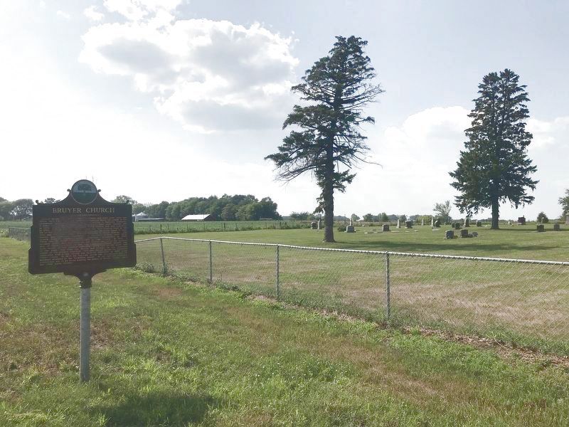
July 11, 2021
2. Bruyer Church Marker & St. Agnes Fairview Cemetery
The marker has moved, but not very far from where it was. It's now closer to the St. Agnes Fairview Cemetery entrance.
Other nearby markers. At least 8 other markers are within 4 miles of this marker, measured as the crow flies: First Rural Electric Cooperative (approx. 1.1 miles away); a different marker also named First Rural Electric Cooperative (approx. 1.3 miles away); Jerry Seaman (approx. 2.7 miles away); Burbank (approx. 2.9 miles away); Homestead Rest Area (approx. 3.2 miles away); The Great Missouri River (approx. 3.2 miles away); Buhrstone (approx. 3½ miles away); Prentis Park (approx. 3.6 miles away). Touch for a list and map of all markers in Vermillion.
Regarding Bruyer Church. The "new and commodious frame church" described is no longer evident in the farmed field on the south side of the road (see photo). One of the street photos on Google Earth shows the southeast corner of the current cemetery where the original log church was situated, but remnants
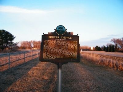
Photographed by Rich Pfingsten, April 1, 2009
3. Bruyer Church Marker
From a distance.
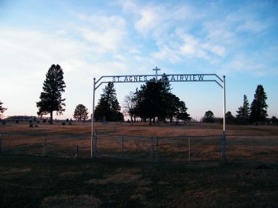
Photographed by Rich Pfingsten, April 1, 2009
4. St. Agnes Fairview Cemetery Entrance
Credits. This page was last revised on August 21, 2021. It was originally submitted on January 13, 2011, by Rich Pfingsten of Forest Hill, Maryland. This page has been viewed 1,798 times since then and 77 times this year. Last updated on August 19, 2021. Photos: 1, 2. submitted on July 14, 2021. 3, 4. submitted on January 13, 2011, by Rich Pfingsten of Forest Hill, Maryland. • Bill Pfingsten was the editor who published this page.
