
Near Bruce in Brookings County, South Dakota — The American Midwest (Upper Plains)
Sutton Home Site
August 15, 2021
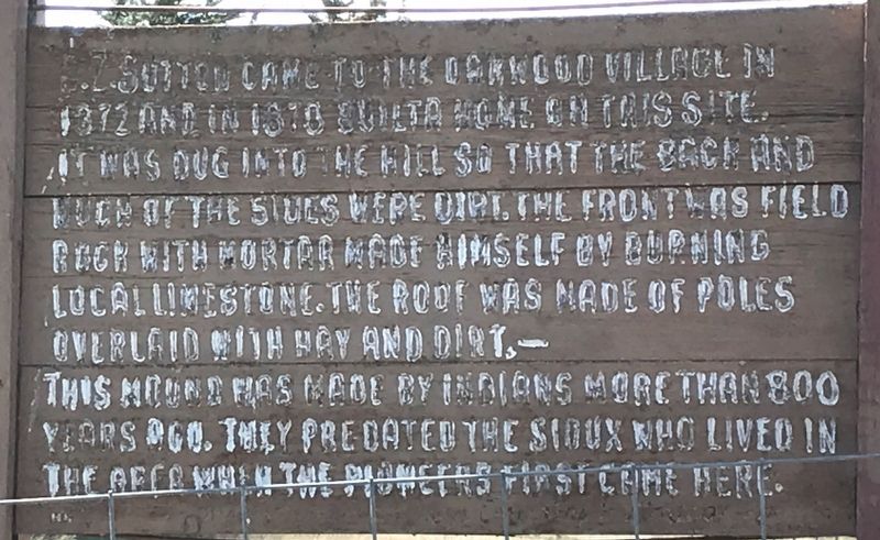
1. Sutton Home Site Marker
This mound was made by Indians more than 800 years ago. They predated the Sioux who lived in the area when the pioneers first came here.
Topics. This historical marker is listed in these topic lists: Indigenous Peoples and Communities • Settlements & Settlers. A significant historical year for this entry is 1878.
Location. 44° 25.724′ N, 96° 58.97′ W. Marker is near Bruce, South Dakota, in Brookings County. It is on Oakwood Shoreline Drive 0.1 miles north of 204th Street (County Road 6), on the left when traveling north. Located south of Oakwood Lakes State Park. Touch for map. Marker is in this post office area: Bruce SD 57220, United States of America. Touch for directions.

Regionally, this marker is in East River. It is also in the American Midwest, in the Lewis & Clark Corridor, in the Corn Belt, on the prairies, and
this page online
Other nearby markers. At least 8 other markers are within 2 miles of this marker, measured as the crow flies: Hessel and Charlotte Houtman Family Farm (approx. 0.6 miles away); What is this earthen wall? (approx. one mile away); Oakwood Lakes State Park (approx. one mile away); Oakwood (approx. 1.3 miles away); Milkweed (approx. 1.4 miles away); Oakwood Lakes Burial Mounds (approx. 1½ miles away); Ash, Ponderosa Pine (approx. 1½ miles away); Bur Oak (approx. 1½ miles away). Touch for a list and map of all markers in Bruce.
More about this marker. Marker is in a poor and weathered condition.
August 15, 2021
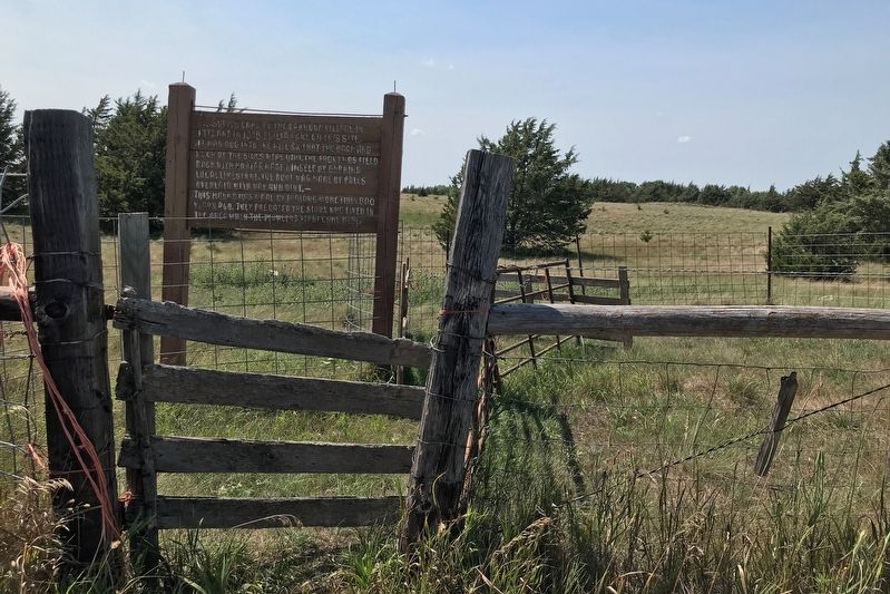
2. Sutton Home Site Marker
Credits. This page was last revised on August 21, 2021. It was originally submitted on August 20, 2021. This page has been viewed 355 times since then and 14 times this year. Photos: 1, 2. submitted on August 20, 2021. • Mark Hilton was the editor who published this page.
