Gig Harbor in Pierce County, Washington — The American West (Northwest)
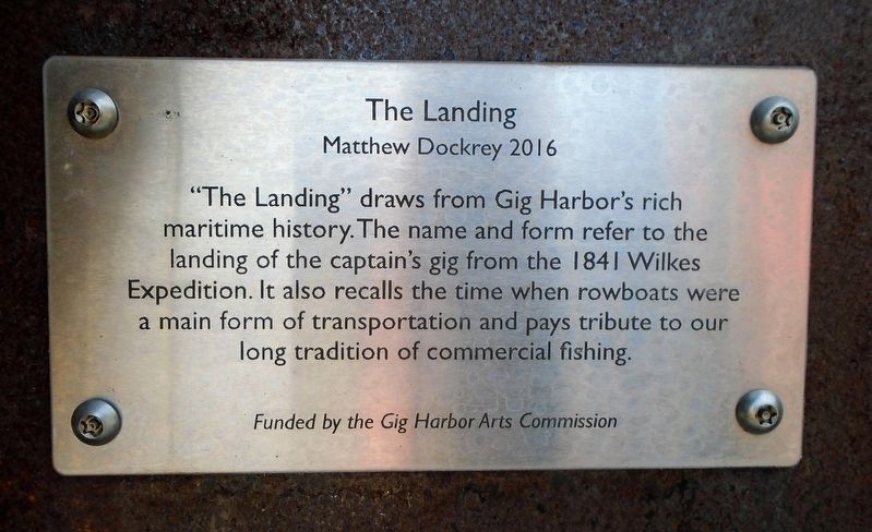
The Landing
Matthew Dockrey 2016
Photographed by William Fischer, Jr., August 3, 2021
1. The Landing Marker
maritime history. The name and form refer to the
landing of the captain's gig from the 1841 Wilkes
Expedition. It also recalls the time when rowboats were
a main form of transportation and pays tribute to our
long tradition of commercial fishing.
Erected by Gig Harbor Arts Commission.
Topics. This historical marker is listed in these topic lists: Exploration • Industry & Commerce • Waterways & Vessels. A significant historical year for this entry is 1841.
Location. 47° 19.769′ N, 122° 34.717′ W. Marker is in Gig Harbor, Washington, in Pierce County. It is at the intersection of Harborview Drive and Soundview Drive, on the right when traveling west on Harborview Drive. Marker and sculpture are at the entrance to Maritime Pier. Touch for map. Marker is at or near this postal address: 3003 Harborview Drive, Gig Harbor WA 98335, United States of America. Touch for directions.

Regionally, this marker is in the Puget Sound Region and in Greater Seattle. It is also on the American Pacific Coast, in the Pacific Northwest, and in the Lewis & Clark Corridor. Globally,
this page online
Other nearby markers. At least 8 other markers are within walking distance of this marker: People's Dock (within shouting distance of this marker); Judge H.R. (Dick) Thurston (about 400 feet away, measured in a direct line); Birth of the Business District (about 500 feet away); A Growing Community (about 800 feet away); Skansie Netshed & House (approx. 0.2 miles away); Skansie Brothers Park (approx. 0.2 miles away); Explore Gig Harbor Wildwaters (approx. 0.2 miles away); Lost At Sea (approx. 0.2 miles away). Touch for a list and map of all markers in Gig Harbor.
Also see . . .
1. Gig Harbor — Thumbnail History. HistoryLink website entry (Submitted on August 22, 2021, by William Fischer, Jr. of Reynoldsburg, Ohio.)
2. United States Exploring Expedition (1838-1842). Oregon Encyclopedia website entry (Submitted on August 22, 2021, by William Fischer, Jr. of Reynoldsburg, Ohio.)
3. Maritime Pier. Gig Harbor website
Photographed by William Fischer, Jr., August 3, 2021
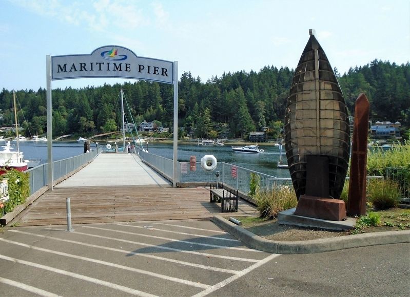
2. The Landing Sculpture
Credits. This page was last revised on August 24, 2021. It was originally submitted on August 22, 2021, by William Fischer, Jr. of Reynoldsburg, Ohio. This page has been viewed 219 times since then and 21 times this year. Photos: 1, 2. submitted on August 22, 2021, by William Fischer, Jr. of Reynoldsburg, Ohio.
