Keyser in Mineral County, West Virginia — The American South (Appalachia)
Fort Fuller
Defending New Creek Station
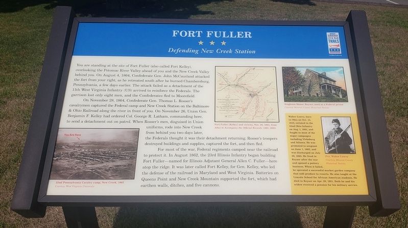
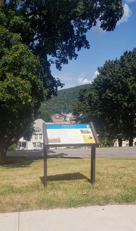
You are standing at the site of Fort Fuller (also called Fort Kelley), overlooking the Potomac River Valley ahead of you and the New Creek Valley behind you. On August 4, 1864, Confederate Gen. John McCausland attacked the fort from your right, as he retreated south after he burned Chambersburg, Pennsylvania, a few days earlier. The attack failed as a detachment of the 11th West Virginia Infantry (US) arrived to reinforce the Federals. The garrison lost only eight men, and the Confederates fled to Moorefield.
On November 28, 1864, Confederate Gen. Thomas L. Rosser's cavalrymen captured the Federal camp and New Creek Station on the Baltimore & Ohio Railroad along the river in front of you. On November 26, Union Gen. Benjamin F. Kelley had ordered Col. George R. Latham, commanding here, to send a detachment out on patrol. When Rosser's men, disguised in Union uniforms, rode into New Creek from behind you two days later, the Federals thought it was their detachment returning. Rosser's troopers destroyed buildings and supplies, captured the fort, and then fled.
For most of the war, Federal regiments camped near the railroad to protect it. In August 1862, the 23rd Illinois Infantry began building Fort Fuller—named for Illinois Adjutant General Allen C. Fuller—here atop the ridge. It was later called Fort Kelley, for Gen. Kelley, who led the defense of the railroad in Maryland and West Virginia. Batteries on Queens Point and New Creek Mountain supported the fort, which had earthen walls, ditches, and five cannons.
[Sidebar:]
Walter Lowry, born in Ohio on Oct. 15, 1845, enlisted in the 32nd Ohio Infantry on Aug. 1, 1861, and fought in most of the major campaigns including Vicksburg and Atlanta. He was promoted to sergeant on June 1, 1865, and was discharged on July 20, 1865. He lived in Keyser after the war and opened a pottery business. When it failed, he operated a successful market garden company that sold produce to resorts. He also taught at the Lincoln School for African American students. He died in Keyser on Apr. 29, 1921. Both he and his widow received a pension for his military service.
[Captions:]
Fort Fuller [Kelley] and vicinity, Nov. 28, 1864, from Atlas to Accompany the Official Records (1891-1895)
22nd Pennsylvania Cavalry camp, New Creek, 1865
Courtesy West Virginia University
Singleton House, Keyser, used as a Federal prison
Courtesy Mineral County Historical Society
Pvt. Walter Lowry
Courtesy Mineral County Historical Society
Erected by West Virginia Civil War Trails.
Topics and series.
This historical marker is listed in these topic lists: Forts and Castles • Railroads & Streetcars • War, US Civil. In addition, it is included in the West Virginia Civil War Trails series list.
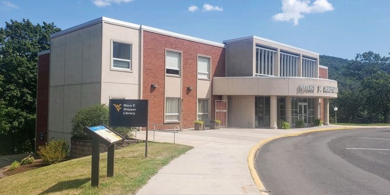
Location. 39° 26.307′ N, 78° 58.863′ W. Marker is in Keyser, West Virginia, in Mineral County. Marker can be reached from the intersection of Fort Avenue and James Street, on the left when traveling west. Marker can be reached by entering the WVU Potomac State College campus from the Fort Avenue entrance. The marker is located on the west side of the Mary F. Shipper Library. Touch for map. Marker is in this post office area: Keyser WV 26726, United States of America. Touch for directions.
Other nearby markers. At least 8 other markers are within walking distance of this marker. Fuller (about 500 feet away, measured in a direct line); Potomac State College (about 500 feet away); Fort Fuller / Capture of New Creek (about 600 feet away); Veterans Memorial (approx. 0.2 miles away); Encircling the Nazi War Machine & German Capitulation (approx. ¼ mile away); The Bridge at Remagen (approx. ¼ mile away); a different marker
also named The Bridge at Remagen (approx. ¼ mile away); a different marker also named The Bridge at Remagen (approx. ¼ mile away). Touch for a list and map of all markers in Keyser.
Credits. This page was last revised on April 26, 2022. It was originally submitted on August 22, 2021, by Bradley Owen of Morgantown, West Virginia. This page has been viewed 375 times since then and 38 times this year. Photos: 1, 2, 3. submitted on August 22, 2021, by Bradley Owen of Morgantown, West Virginia. • Bernard Fisher was the editor who published this page.


