Tacoma in Pierce County, Washington — The American West (Northwest)
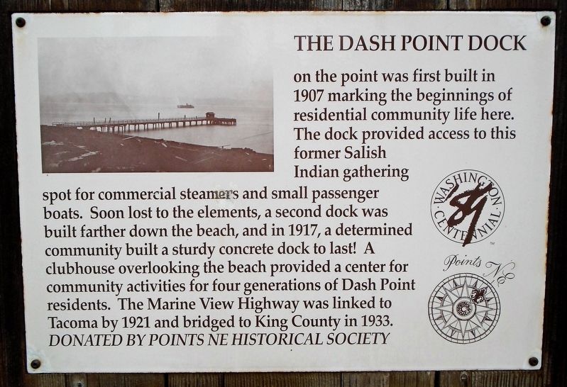
The Dash Point Dock
on the point was first built in 1907 marking the beginnings of residential community life here. The dock provided access to this former Salish Indian gathering spot. Soon lost to the elements, a second dock was built farther down the beach, and in 1917, a determined community built a sturdy concrete dock to last! A clubhouse overlooking the beach provided a center for community activities for four generations of Dash Point residents. The Marine View Highway was linked to Tacoma by 1921 and bridged to King County in 1933.
Erected by Points NE Historical Society.
Topics. This historical marker is listed in this topic list: Man-Made Features. A significant historical year for this entry is 1907.
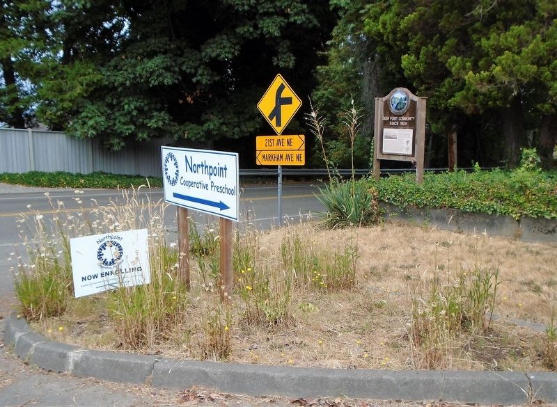
Location. 47° 19.048′ N, 122° 25.301′ W. Marker is in Tacoma, Washington, in Pierce County. Marker is on East Side Drive NE (Washington Route 509) east of Arthur Street NE, on the right when traveling east. Touch for map. Marker is at or near this postal address: 8469 East Side Drive NE, Tacoma WA 98422, United States of America. Touch for directions.
Other nearby markers. At least 8 other markers are within 2 miles of this marker, measured as the crow flies. Boat House and Oil House (approx. 1.3 miles away); Bell and Pump House (approx. 1.3 miles away); Light Keeper's Cottage (approx. 1.3 miles away); The Browns Point Light Keeper's Cottage (approx. 1.3 miles away); Crew Quarters (approx. 1.3 miles away); Captain George Vancouver at Browns Point (approx. 1.3 miles away); Browns Point Light Station (approx. 1.3 miles away); Generator Building (approx. 1.3 miles away). Touch for a list and map of all markers in Tacoma.
Also see . . . Dash Point Pier Closure Information (2021). (Submitted on August 22, 2021, by William Fischer, Jr. of Scranton, Pennsylvania.)
Credits. This page was last revised on August 22, 2021. It was originally submitted on August 22, 2021, by William Fischer, Jr. of Scranton, Pennsylvania. This page has been viewed 122 times since then and 15 times this year. Photos: 1, 2, 3. submitted on August 22, 2021, by William Fischer, Jr. of Scranton, Pennsylvania.


