Alvarado in Johnson County, Texas — The American South (West South Central)
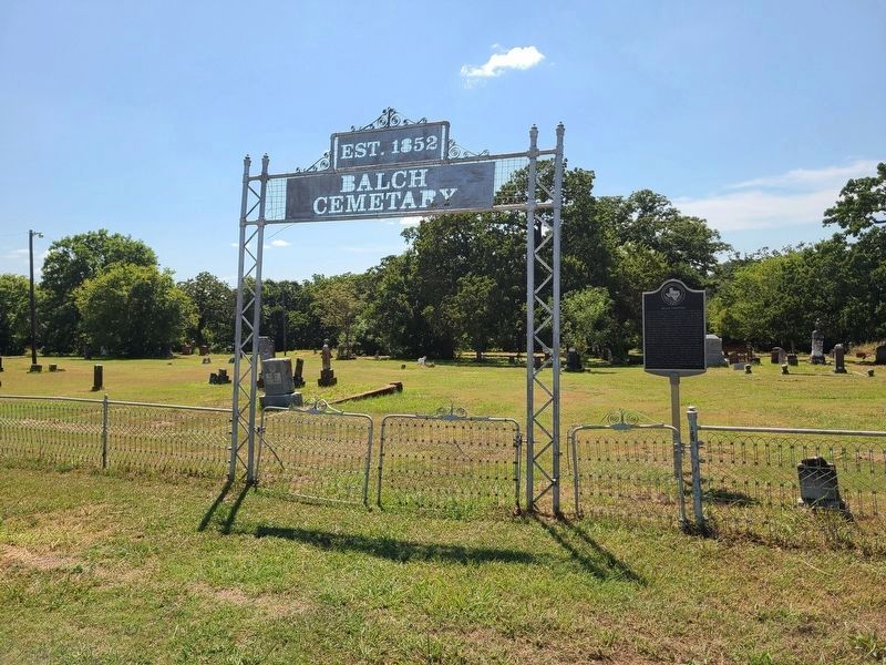
Balch Cemetery
Photographed by Jesse Nelsen, August 11, 2021
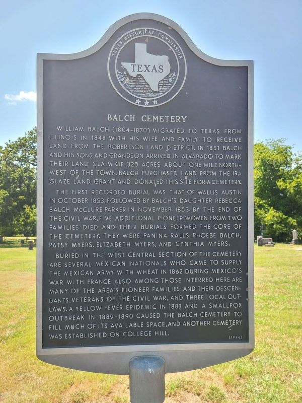
1. Balch Cemetery Marker
William Balch (1804-1870) migrated to Texas from Illinois in 1848 with his wife and family to receive land from the Robertson land district. In 1851 Balch and his sons and grandson arrived in Alvarado to mark their land claim of 320 acres about one mile north-west of town. Balch purchased land from the Ira Glaze land grant and donated this site for a cemetery.
The first recorded burial was that of Wallis Austin in October 1853, followed by Balch’s daughter Rebecca Balch McClure Parker in November 1853. By the end of the Civil War, five additional pioneer women from two families died and their burials formed the core of the cemetery. They were Panina Ralls, Phoebe Balch, Patsy Myers, Elizabeth Myers, and Cynthia Myers.
Buried in the west central section of the cemetery are several Mexican nationals who came to supply the Mexican army with wheat in 1862 during Mexico’s war with France. Also among those interred here are many of the area’s pioneer families and their descendants, veterans of the Civil War, and three local outlaws. A yellow fever epidemic in 1883 and a smallpox outbreak in 1889-1890 caused the Balch cemetery
this page online
Erected 1996 by Texas Historical Commission. (Marker Number 14134.)
Topics. This historical marker is listed in this topic list: Cemeteries & Burial Sites. A significant historical year for this entry is 1853.
Location. 32° 24.275′ N, 97° 12.902′ W. Marker is in Alvarado, Texas, in Johnson County. It is on South Cummings Drive, on the right when traveling south. Touch for map. Marker is in this post office area: Alvarado TX 76009, United States of America. Touch for directions.

Regionally, this marker is in the Prairies & Lakes Region and in the Dallas-Fort Worth Metropolitan Area. Globally, it is in North America, a Gulf of Mexico state, the Western Hemisphere, the Western World, and the Anglosphere. Historically, it finds itself in what was once New Spain, the Republic of Texas, and one of the Confederate States of America.
Other nearby markers. At least 8 other markers are within walking distance of this marker: Site of Alvarado School, Church and Union Building (about 500 feet away, measured in a direct line); Balch-Senterwood Cemetery
Photographed by Jesse Nelsen, August 11, 2021
2. Balch Cemetery and Marker
Credits. This page was last revised on August 30, 2021. It was originally submitted on August 23, 2021, by Jesse Nelsen of Farmersville, Texas. This page has been viewed 684 times since then and 47 times this year. Photos: 1, 2. submitted on August 23, 2021, by Jesse Nelsen of Farmersville, Texas. • Bill Pfingsten was the editor who published this page.
