Church Hill in Richmond, Virginia — The American South (Mid-Atlantic)
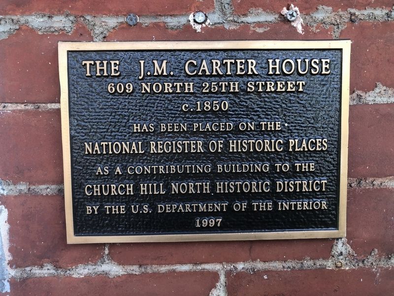
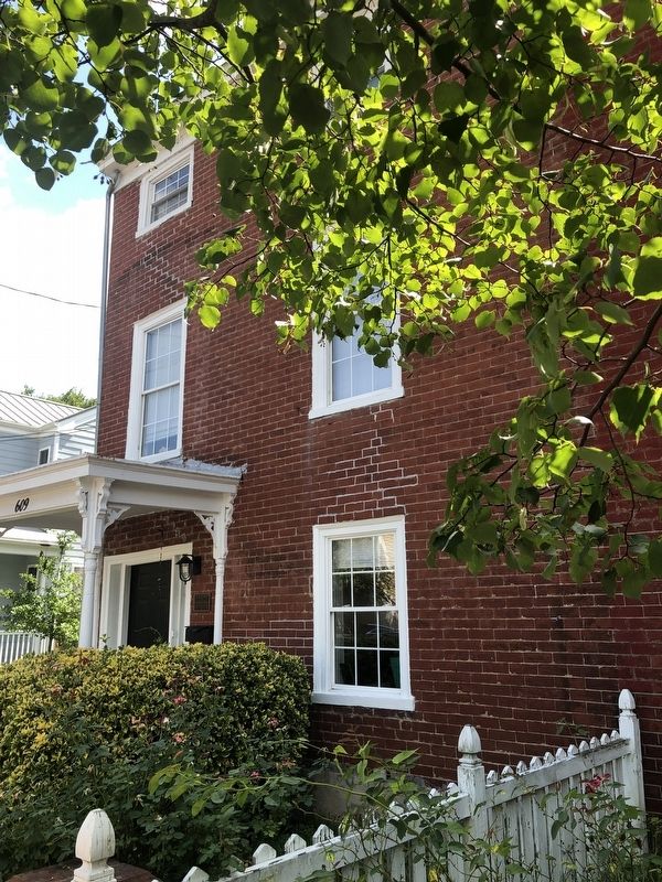
The J.M. Carter House
609 North 25th Street
609 North 25th Street
c. 1850
has been placed on the
National Register of Historic Places
as a contributing building to the
Church Hill North Historic District
by the U.S. Department of the Interior
1997
Topics. This historical marker is listed in this topic list: Notable Buildings. A significant historical year for this entry is 1850.
Location. 37° 32.079′ N, 77° 24.948′ W. Marker is in Richmond, Virginia. It is in Church Hill. It is on North 25th Street just south of M Street, on the right when traveling north. Touch for map. Marker is at or near this postal address: 609 N 25th St, Richmond VA 23223, United States of America. Touch for directions.

Regionally, this marker is in Central Virginia. It is also in the American South and specifically in the Upper South. Globally, it is in North America, the Western Hemisphere, the Western World, and the Anglosphere. Historically, it finds itself in what was once the territory of the Mississippian Culture, one of the original Thirteen Colonies, one of the Confederate States of America, and the Antebellum South.
Other nearby markers. At
this page online
Credits. This page was last revised on February 1, 2023. It was originally submitted on August 23, 2021, by Devry Becker Jones of Washington, District of Columbia. This page has been viewed 262 times since then and 17 times this year. Photos: 1, 2. submitted on August 23, 2021, by Devry Becker Jones of Washington, District of Columbia.
