
Montoursville in Lycoming County, Pennsylvania — The American Northeast (Mid-Atlantic)
Montoursville
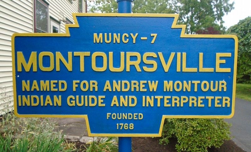
Photographed by William Fischer, Jr., August 10, 2021
1. Montoursville Marker
Indian Guide and Interpreter
Founded 1768
Topics and series. This historical marker is listed in these topic lists: Indigenous Peoples and Communities • Settlements & Settlers. In addition, it is included in the Pennsylvania Keystone Markers series list. A significant historical year for this entry is 1768.
Location. 41° 15.041′ N, 76° 55.658′ W. Marker is in Montoursville, Pennsylvania, in Lycoming County. It is on Loyalsock Avenue north of Broad Street, on the left when traveling north. Marker is at the General John Burrows Historical Society of Montoursville. Touch for map. Marker is at or near this postal address: 19 North Loyalsock Avenue, Montoursville PA 17754, United States of America. Touch for directions.

Regionally, this marker is in the Pennsylvania Wilds and in the Susquehanna Valley. It is also in the American Northeast, in the Mid-Atlantic, in Appalachia, and specifically in Northern Appalachia. Globally, it is in North America, the Western Hemisphere, the Western World, and the Anglosphere. Historically, it finds itself in what was once the Haudenosaunee (Iroquois)
this page online
Other nearby markers. At least 8 other markers are within 4 miles of this marker, measured as the crow flies: This Old Millstone (approx. half a mile away); TWA Flight 800 Memorial (approx. half a mile away); Montoursville Memorial Gardens (approx. half a mile away); Lions Field (approx. 0.8 miles away); Williamsport (approx. 2.8 miles away); The Legacy of Little League (approx. 3.2 miles away); a different marker also named Williamsport (approx. 3.3 miles away); Benjamin Heck Crever (approx. 3.3 miles away). Touch for a list and map of all markers in Montoursville.
More about this marker. The marker is a former city limits marker.
Also see . . .
1. General John Burrows Historical Society. (Submitted on August 23, 2021, by William Fischer, Jr. of Reynoldsburg, Ohio.)
2. A Frontier Diplomat: Andrew Montour (Lewin, Pennsylvania History). (Submitted on August 23, 2021, by William Fischer, Jr. of Reynoldsburg, Ohio.)
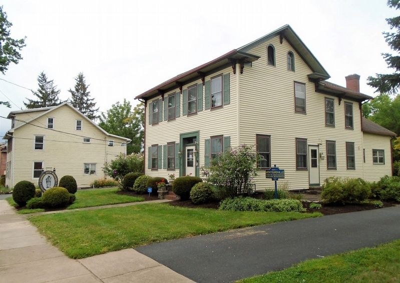
Photographed by William Fischer, Jr., August 10, 2021
2. Montoursville Marker
Credits. This page was last revised on May 23, 2023. It was originally submitted on August 23, 2021, by William Fischer, Jr. of Reynoldsburg, Ohio. This page has been viewed 499 times since then and 34 times this year. Photos: 1, 2. submitted on August 23, 2021, by William Fischer, Jr. of Reynoldsburg, Ohio.
