
Wolfe City in Hunt County, Texas — The American South (West South Central)
Mt. Carmel Cemetery
(0.9 miles south)
Photographed by Jesse Nelsen, August 23, 2021
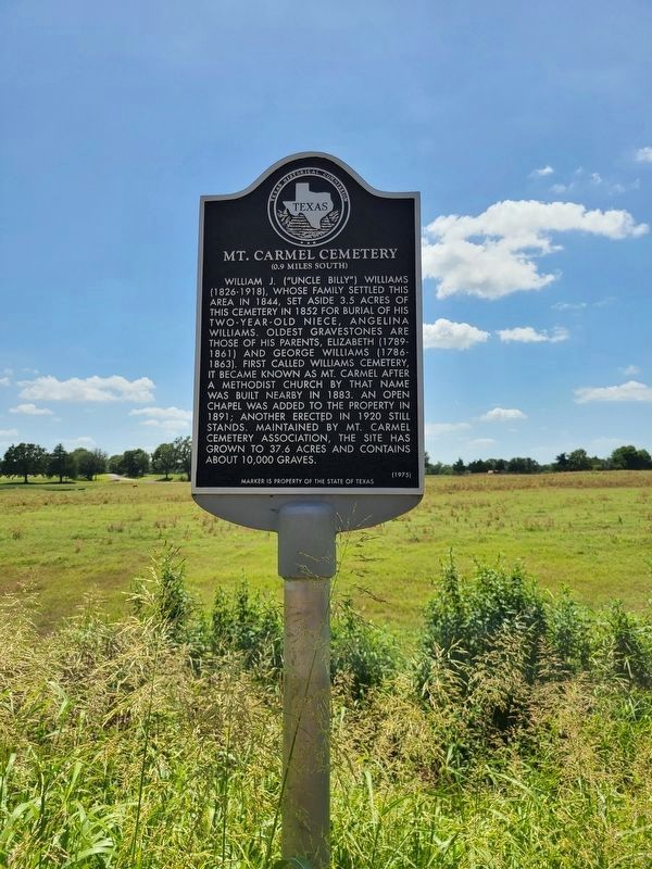
1. Mt. Carmel Cemetery Marker
William J. "Uncle Billy" Williams (1826-1918), whose family settled this area in 1844, set aside 3.5 acres of this cemetery in 1852 for burial of his two-year-old niece, Angelina Williams. Oldest gravestones are those of his parents, Elizabeth (1789-1861) and George Williams (1786-1863). First called Williams Cemetery, it became known as Mt. Carmel after a Methodist church by that name was built nearby in 1883. An open chapel was added to the property in 1891; another erected in 1920 still stands. Maintained by Mt. Carmel Cemetery Association, the site has grown to 37.6 acres and contains about 10,000 graves.
Erected 1975 by Texas Historical Commission. (Marker Number 7819.)
Topics. This historical marker is listed in this topic list: Cemeteries & Burial Sites. A significant historical year for this entry is 1852.
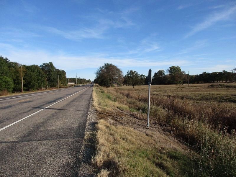
Location. 33° 21.864′ N, 96° 3.234′ W. Marker is in Wolfe City, Texas, in Hunt County. It is at the intersection of State Highway 11 and Highway 4818, on the right when traveling east on State Highway 11. Touch for map. Marker is in this post office area: Wolfe City TX 75496, United States of America. Touch for directions.

Regionally,
this page online
Other nearby markers. At least 8 other markers are within 8 miles of this marker, measured as the crow flies: Blanton School (approx. 0.6 miles away); Ebenezer Baptist Church (approx. 0.7 miles away); Historic Site of Wolfe’s Mill (approx. 0.8 miles away); Old National Road Crossing (approx. 4.1 miles away); Little Bethel Baptist Church (approx. 7 miles away); Gober Cemetery (approx. 7.2 miles away); Haden House (approx. 7.2 miles away); Ladonia (approx. 7½ miles away). Touch for a list and map of all markers in Wolfe City.
Photographed by Jesse Nelsen, August 23, 2021
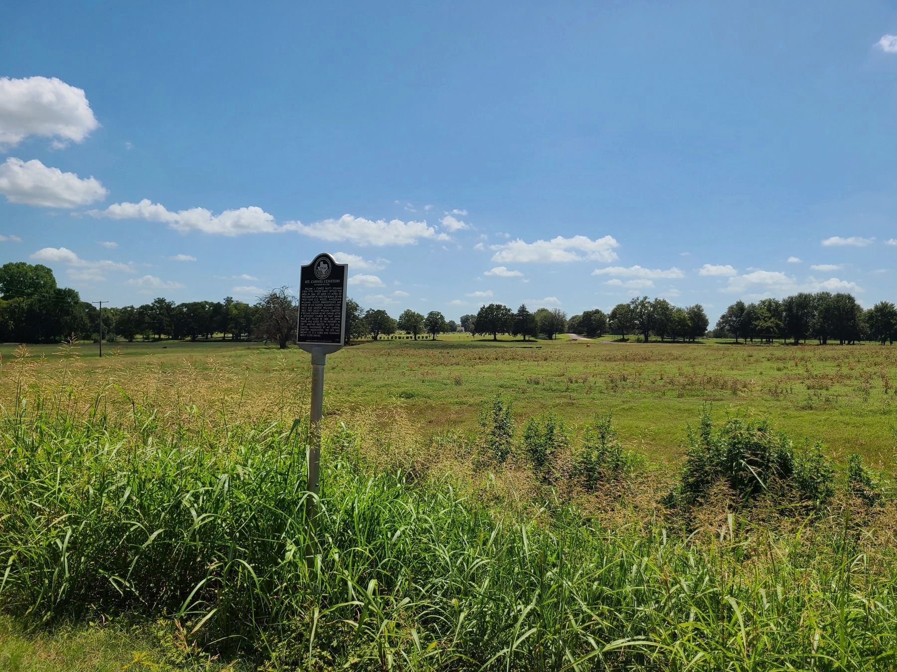
2. Mt. Carmel Cemetery Marker
Photographed by Jeff Leichsenring, November 10, 2025
3. Mt. Carmel Cemetery Marker
Credits. This page was last revised on November 12, 2025. It was originally submitted on August 24, 2021, by Jesse Nelsen of Farmersville, Texas. This page has been viewed 977 times since then and 105 times this year. Photos: 1, 2. submitted on August 24, 2021, by Jesse Nelsen of Farmersville, Texas. 3. submitted on November 11, 2025, by Jeff Leichsenring of Garland, Texas. • J. Makali Bruton was the editor who published this page.
