Near Wolfe City in Hunt County, Texas — The American South (West South Central)
Old National Road Crossing
Photographed by Jesse Nelsen, August 23, 2021
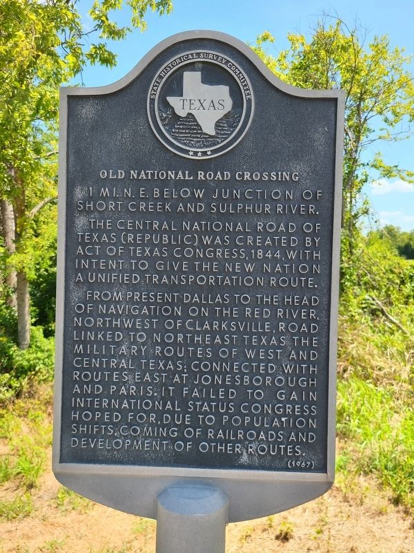
1. Old National Road Crossing Marker
One mile NE below junction of Short Creek and Sulphur River. The Central National Road of Texas (Republic) was created by act of Texas Congress, 1844, with intent to give the new nation a unified transportation route.
From present Dallas to the head of navigation on the Red River, northwest of Clarksville, road linked to northeast Texas the military routes of west and central Texas; connected with routes east at Jonesborough and Paris. It failed to gain international status Congress hoped for, due to population shifts, coming of railroads and development of other routes.
Erected 1967 by State Historical Survey Committee. (Marker Number 7822.)
Topics. This historical marker is listed in this topic list: Roads & Vehicles. A significant historical year for this entry is 1944.
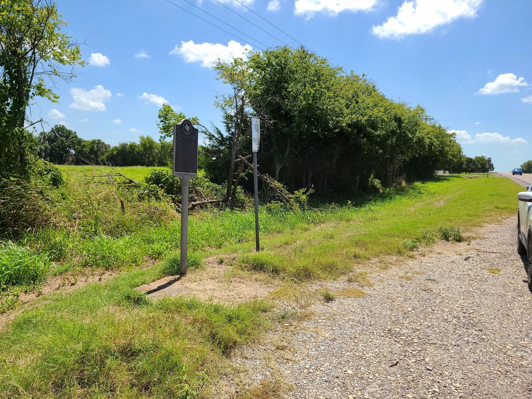
Location. 33° 18.816′ N, 96° 5.508′ W. Marker is near Wolfe City, Texas, in Hunt County. It is on State Highway 34 north of Highway 2358, on the right when traveling north. Touch for map. Marker is in this post office area: Wolfe City TX 75496, United States of America. Touch for directions.

Regionally, this marker is in the Prairies & Lakes Region
this page online
Other nearby markers. At least 8 other markers are within 6 miles of this marker, measured as the crow flies: White Rock Baptist Church (approx. 3½ miles away); White Rock Methodist Church (approx. 3½ miles away); White Rock Community (approx. 3½ miles away); Historic Site of Wolfe’s Mill (approx. 4 miles away); Ebenezer Baptist Church (approx. 4.1 miles away); Mt. Carmel Cemetery (approx. 4.1 miles away); Blanton School (approx. 4.2 miles away); Audie Murphy (approx. 6 miles away). Touch for a list and map of all markers in Wolfe City.
Photographed by Jesse Nelsen, August 23, 2021
2. Old National Road Crossing Marker
Credits. This page was last revised on September 1, 2021. It was originally submitted on August 24, 2021, by Jesse Nelsen of Farmersville, Texas. This page has been viewed 665 times since then and 71 times this year. Photos: 1, 2. submitted on August 24, 2021, by Jesse Nelsen of Farmersville, Texas. • J. Makali Bruton was the editor who published this page.
