
Montoursville in Lycoming County, Pennsylvania — The American Northeast (Mid-Atlantic)
Montoursville Memorial Gardens
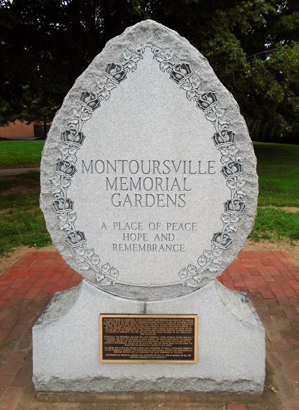
A Place of Peace, Hope and Remembrance
Photographed by William Fischer, Jr., August 10, 2021
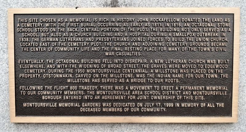
1. Montoursville Memorial Gardens Marker
This site chosen as a memorial is rich in history. John Rockafellow donated the land as a cemetery, with the first burial occurring as early as 1811. In 1816, an octagonal stone school stood on the back, central portion of the plot. The building not only served as a school, but also as a church building and a hospital during a smallpox outbreak. In 1838, the German Lutherans and Presbyterians joined forces to build the Union Church, located east of the cemetery plot. The church and adjoining cemetery grounds became the center of community life and the final resting place for many of the town's Civil War casualties.
Eventually, the octagonal building fell into disrepair. A new Lutheran church was built elsewhere, and with the widening of Broad Street, the graves were moved to Edgewood Cemetery. During the 1950 Montoursville Centennial, a millstone was placed on the property. Otstonwakin, carved on the millstone, was the Indian name for our town. The millstone has served as a bridge to our roots.
Following the Flight 800 tragedy, there was a movement to erect a permanent memorial to our community members. The Montoursville
this page online
Montoursville Memorial Gardens was dedicated on July 17, 1999 in memory of all the deceased members of our community.
Erected 1999 by Montoursville Area School District and Montoursville Borough.
Topics. This historical marker is listed in these topic lists: Disasters • Parks & Recreational Areas • Settlements & Settlers. A significant historical date for this entry is July 17, 1999.
Location. 41° 14.921′ N, 76° 55.114′ W. Marker is in Montoursville, Pennsylvania, in Lycoming County. It is on Broad Street east of Arch Street, on the left when traveling east. Touch for map. Marker is in this post office area: Montoursville PA 17754, United States of America. Touch for directions.

Regionally, this marker is in the Pennsylvania Wilds and in the Susquehanna Valley. It is also in the American Northeast, in the Mid-Atlantic, in Appalachia, and specifically in Northern Appalachia. Globally, it is in North America, the Western Hemisphere, the Western World, and the Anglosphere. Historically, it finds itself in what was
Photographed by William Fischer, Jr., August 10, 2021
2. Montoursville Memorial Gardens Marker
Other nearby markers. At least 8 other markers are within 4 miles of this marker, measured as the crow flies: TWA Flight 800 Memorial (within shouting distance of this marker); This Old Millstone (within shouting distance of this marker); Montoursville (approx. half a mile away); Lions Field (approx. one mile away); Williamsport (approx. 3.3 miles away); The Legacy of Little League (approx. 3.6 miles away); a different marker also named Williamsport (approx. 3.7 miles away); Susquehanna Log Boom (approx. 3.8 miles away). Touch for a list and map of all markers in Montoursville.
Also see . . . Flight 800 Memorial Garden renovations complete. NorthcentralPA.com website entry (Submitted on May 6, 2026, by Larry Gertner of New York, New York.)
Photographed by William Fischer, Jr., August 10, 2021
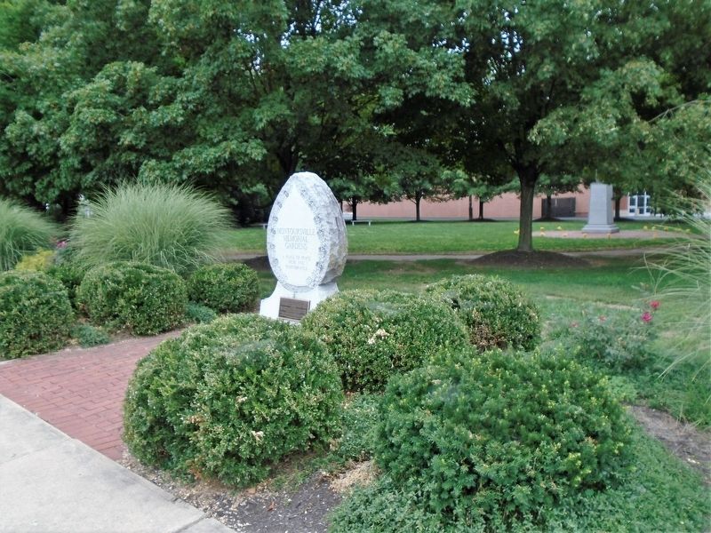
3. Montoursville Memorial Gardens and Marker
Credits. This page was last revised on May 6, 2026. It was originally submitted on August 24, 2021, by William Fischer, Jr. of Reynoldsburg, Ohio. This page has been viewed 702 times since then and 80 times this year. Photos: 1, 2, 3. submitted on August 24, 2021, by William Fischer, Jr. of Reynoldsburg, Ohio.
