Huntertown in Woodford County, Kentucky — The American South (East South Central)
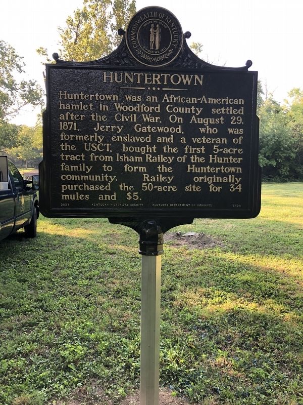
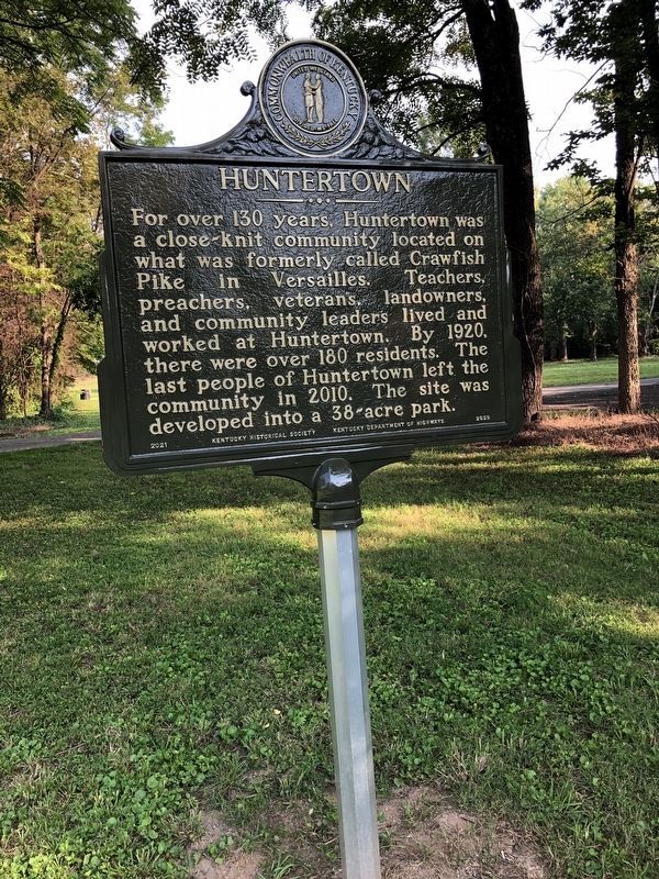
Huntertown
Erected 2021 by Kentucky Historical Society; Kentucky Department of Highways. (Marker Number 2629.)
Topics and series. This historical marker is listed in these topic lists: African Americans • Settlements & Settlers • War, US Civil. In addition, it is included in the Kentucky Historical Society series list. A significant historical date for this entry is August 21, 1871.
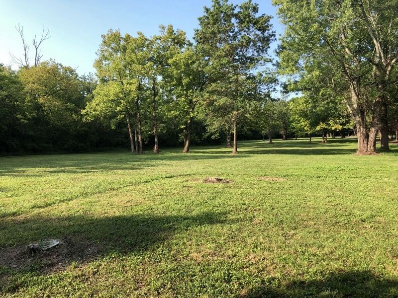
Location. 38° 2.08′ N, 84° 41.986′ W. Marker is in Huntertown, Kentucky, in Woodford County. Marker is on Huntertown Community Road West, 0.1 miles east of Huntertown Road, on the right when traveling east. Touch for map. Marker is at or near this postal address: 203 Huntertown Rd, Versailles KY 40383, United States of America. Touch for directions.
Other nearby markers. At least 8 other markers are within 2 miles of this marker, measured as the crow flies. Calmes Tomb (approx. one mile away); Buck Pond (approx. one mile away); Hemp in Kentucky / Woodford County Hemp (approx. one mile away); Josephine Henry (approx. 1.7 miles away); Randall Lee Gibson / Jerome Bonaparte Robertson (approx. 2 miles away); Woodford County's Civil War Generals (approx. 2 miles away); Woodford County, 1789 / County Named (approx. 2 miles away); Watkins Tavern (approx. 2.1 miles away).
Regarding Huntertown. Huntertown was an African American community.
Credits. This page was last revised on August 26, 2021. It was originally submitted on August 25, 2021, by Brian K. Hall of Lexington, Kentucky. This page has been viewed 252 times since then and 11 times this year. Photos: 1, 2, 3. submitted on August 25, 2021, by Brian K. Hall of Lexington, Kentucky. • Devry Becker Jones was the editor who published this page.


