Williamstown in Grant County, Kentucky — The American South (East South Central)
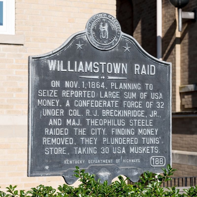
Williamstown Raid
Erected 1962 by Kentucky Department of Highways. (Marker Number 188.)
Topics and series. This historical marker is listed in this topic list: War, US Civil. In addition, it is included in the Kentucky Historical Society series list. A significant historical date for this entry is October 1, 1864.
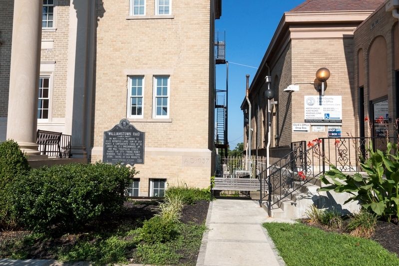
Location. 38° 38.215′ N, 84° 33.659′ W. Marker is in Williamstown, Kentucky, in Grant County. Marker is at the intersection of North Main Street (U.S. 25) and Court Street and Paris Street (Kentucky Route 22), on the left when traveling north on North Main Street. Touch for map. Marker is at or near this postal address: 101 N Main St, Williamstown KY 41097, United States of America. Touch for directions.
Other nearby markers. At least 5 other markers are within 11 miles of this marker, measured as the crow flies. Grant County (a few steps from this marker); Veterans Memorial (a few steps from this marker); A Civil War Reprisal (approx. 0.8 miles away); The Old Church on the Dry Ridge (approx. 3.6 miles away); An Indian Massacre (approx. 10.8 miles away).
Credits. This page was last revised on August 29, 2021. It was originally submitted on August 29, 2021, by J. J. Prats of Powell, Ohio. This page has been viewed 329 times since then and 32 times this year. Photos: 1, 2, 3. submitted on August 29, 2021, by J. J. Prats of Powell, Ohio.


