McMahan in Caldwell County, Texas — The American South (West South Central)
Jeffrey Cemetery
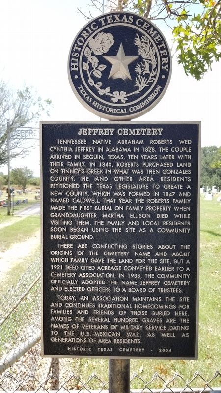
Tennessee native Abraham Roberts wed Cynthia Jeffrey in Alabama in 1828. The couple arrived in Seguin, Texas, ten years later with their family. In 1840, Roberts purchased land on Tinney's Creek in what was then Gonzales County. He and other area residents petitioned the Texas Legislature to create a new county, which was formed in 1847 and named Caldwell. That year the Roberts family made the first burial on family property when granddaughter Martha Ellison died while visiting them. The family and local residents soon began using the site as a community burial ground.
There are conflicting stories about the origins of the cemetery name and about which family gave the land for the site, but a 1921 deed cited acreage conveyed earlier to a cemetery association. In 1938, the community officially adopted the name Jeffrey Cemetery and elected officers to a board of trustees.
Today, an association maintains the site and continues traditional homecomings for families and friends of those buried here. Among the several hundred graves are the names of veterans of military service dating to the U.S. Mexican War, as well as generations of area residents.
Historic Texas Cemetery - 2004
Erected 2004 by Texas Historical Commission. (Marker Number 13251.)
Topics. This historical marker is listed in this topic list: Cemeteries & Burial Sites. A significant historical year for this entry is 1828.
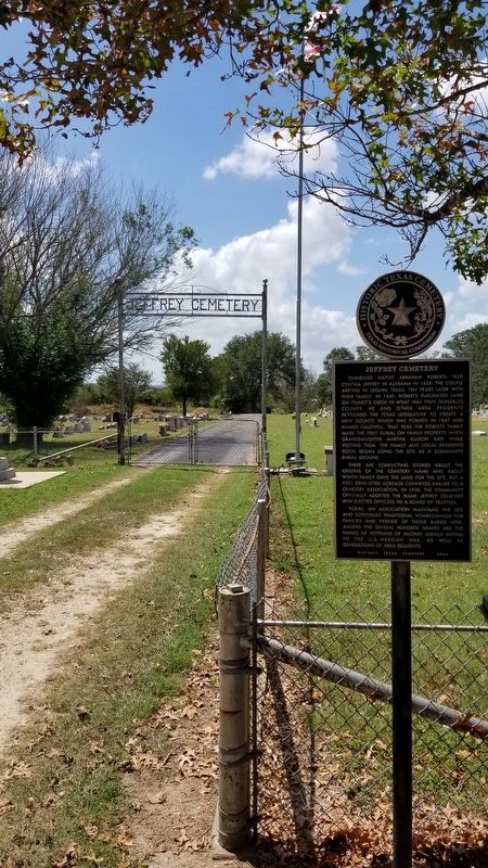
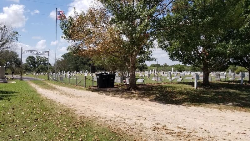
Location. 29° 51.032′ N, 97° 31.953′ W. Marker is in McMahan, Texas, in Caldwell County. Marker is at the intersection of Farm to Market Road 713 and Old Colony Line Road, on the left when traveling west on Highway 713. The marker is located at the front entrance to the cemetery and behind the church. Touch for map. Marker is at or near this postal address: 5544 FM 713, Dale TX 78616, United States of America. Touch for directions.
Other nearby markers. At least 8 other markers are within 8 miles of this marker, measured as the crow flies. Bethel Primitive Baptist Church (within shouting distance of this marker); Fleming Memorial Cemetery (about 500 feet away, measured in a direct line); Clark's Chapel Cemetery (approx. 3.8 miles away); Isham Jones Good (approx. 4.4 miles away); Lincecum Cemetery (approx. 4.4 miles away); Clearfork Baptist Church (approx. 6.1 miles away); Wattsville Gin (approx. 6.7 miles away); Hall Cemetery (approx. 7˝ miles away). Touch for a list and map of all markers in McMahan.
Credits. This page was last revised on August 31, 2021. It was originally submitted on August 31, 2021, by James Hulse of Medina, Texas. This page has been viewed 232 times since then and 27 times this year. Photos: 1, 2, 3. submitted on August 31, 2021, by James Hulse of Medina, Texas.


