Madison in Jefferson County, Indiana — The American Midwest (Great Lakes)
From Pork to Port
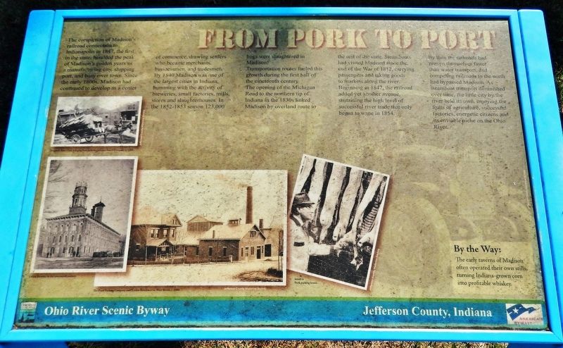
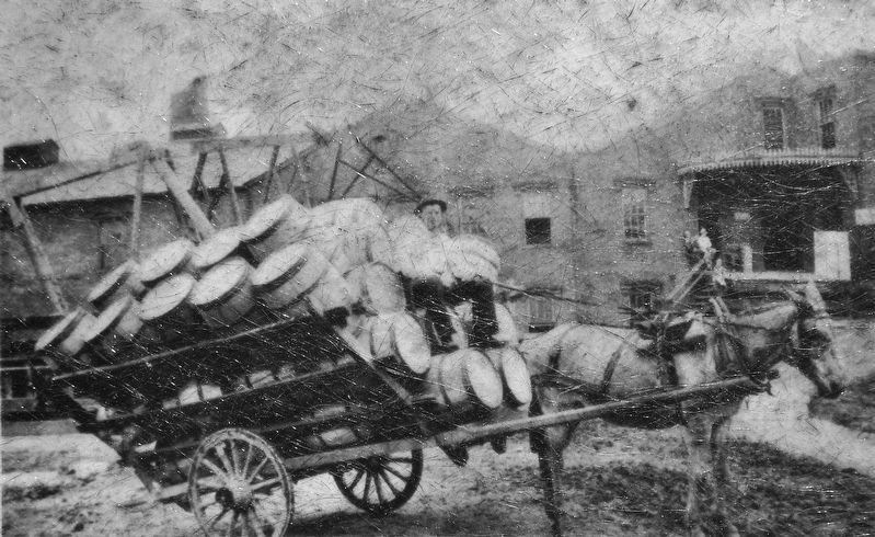
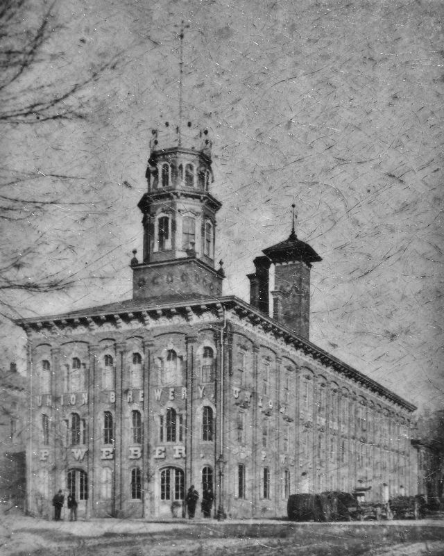
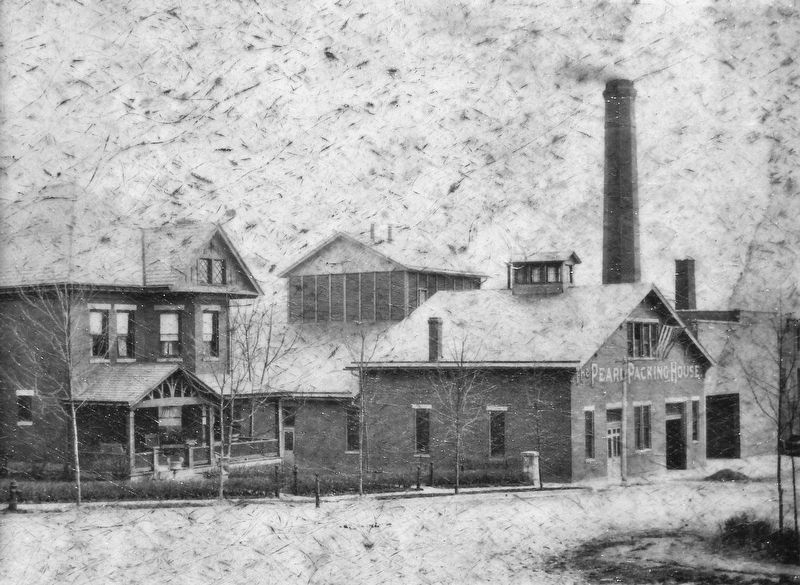
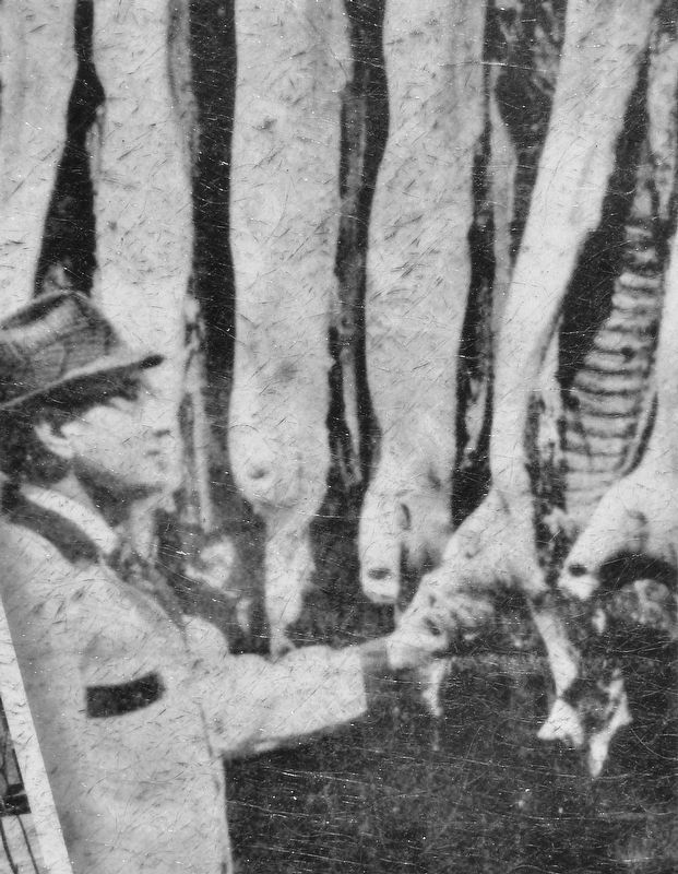
The completion of Madison's railroad connection to Indianapolis in 1847, the first in the state, heralded the peak of Madison's golden years as a manufacturing city, shipping port, and busy river town. Since the early 1800s, Madison had continued to develop as a center of commerce, drawing settlers who became merchants, businessmen, and tradesmen. By 1840 Madison was one of the largest cities in Indiana, humming with the activity of breweries, small factories, mills, stores and slaughterhouses. In the 1852-1853 season 123,000 hogs were slaughtered in Madison!
Transportation routes fueled this growth during the first half of the nineteenth century. The opening of the Michigan Road to the northern tip of Indiana in the 1830s linked Madison by overland route to the rest of the state. Steamboats had visited Madison since the end of the War of 1812, carrying passengers and taking goods to markets along the river.
Beginning in 1847, the railroad added yet another avenue, sustaining the high level of successful river trade that only began to wane in 1854. By then the railroads had proven themselves faster than water transport, and competing railroads to the north had bypassed Madison. As steamboat transport diminished over time, the little city by the river held its own, enjoying the fruits of agriculture, successful factories, energetic citizens and its enviable niche on the Ohio River.
By the Way:
The early taverns of Madison often operated their own stills, turning Indiana-grown corn into profitable whiskey.
Erected by Ohio River Scenic Byway; and Jefferson County, Indiana.
Topics. This historical marker is listed in these topic lists: Industry & Commerce • Railroads & Streetcars • Roads & Vehicles • Waterways & Vessels. A significant historical year for this entry is 1847.
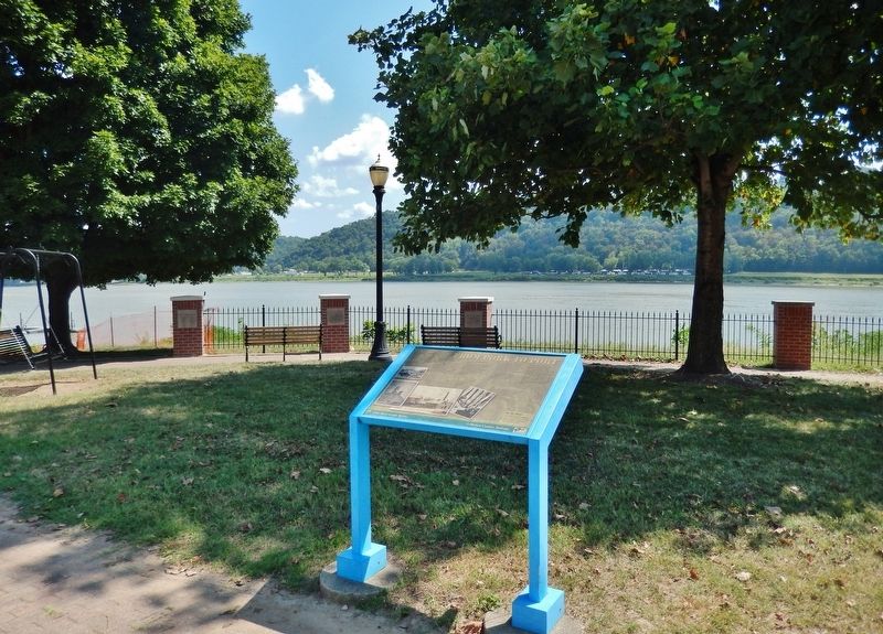
Location. 38° 43.982′ N, 85° 22.897′ W. Marker is in Madison, Indiana, in Jefferson County. Marker is on West Vaughn Drive just east of Central Avenue, on the right when traveling east. Marker is located beside the sidewalk, near the east end of Lamplighter Park, overlooking the Ohio River. Touch for map. Marker is in this post office area: Madison IN 47250, United States of America. Touch for directions.
Other nearby markers. At least 8 other markers are within walking distance of this marker. Madison Regatta / Steamboats (about 400 feet away, measured in a direct line); Shrewsbury-Windle House (about 700 feet away); Bill Cantrell Memorial Race Course (about 800 feet away); Schofield House (approx. 0.2 miles away); Flood of 1937 / Crystal Beach Pool (approx. 0.2 miles away); Crystal Beach (approx. 0.2 miles away); Michael C. Garber
(approx. 0.2 miles away); Madison Historic District (approx. ¼ mile away). Touch for a list and map of all markers in Madison.
Also see . . .
1. Madison, Indiana. Wikipedia entry:
Madison's days as a leading Indiana city were numbered when river traffic declined and new railroads built between Louisville, Indianapolis, and Cincinnati tapped into Madison's trade network. As a result, Madison's growth did not continue at the same pace it had experienced before the Civil War. (Submitted on September 1, 2021, by Cosmos Mariner of Cape Canaveral, Florida.)
2. Madison, Indianapolis & Lafayette Railroad. Abandoned website entry (Submitted on December 23, 2021, by Larry Gertner of New York, New York.)
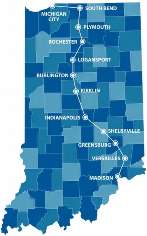
via Historic Michigan Road, unknown
7. The Historic Michigan Road
Website homepage
Click for more information.
Click for more information.
Credits. This page was last revised on December 23, 2021. It was originally submitted on September 1, 2021, by Cosmos Mariner of Cape Canaveral, Florida. This page has been viewed 149 times since then and 29 times this year. Photos: 1, 2, 3, 4, 5, 6. submitted on September 1, 2021, by Cosmos Mariner of Cape Canaveral, Florida. 7. submitted on December 23, 2021, by Larry Gertner of New York, New York.
