Near Timpas in Otero County, Colorado — The American Mountains (Southwest)
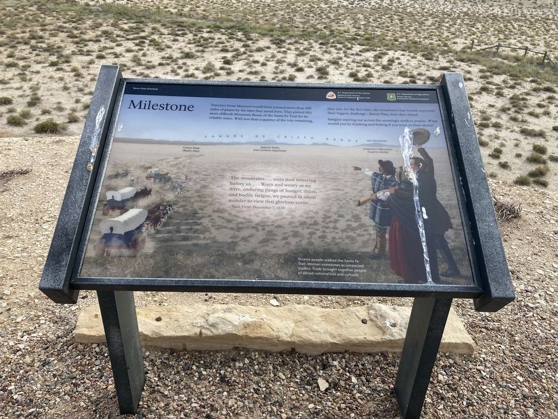
Milestone
Imagine starting out across the seemingly endless prairie. What would you be thinking and feeling if you were in their shoes?
The mountains ... were now towering before us. ... Worn and weary as we were, enduring pangs of hunger, thirst, and bodily fatigue, we paused in silent wonder to view that glorious scene.
Matt Field, December 7, 1839
Caption: Diverse people walked the Santa Fe Trail. Women sometimes accompanied traders. Trade brought together people of varied nationalities and cultures.
Erected by Santa Fe National Historic Trail, National Park Service, Department of the Interior; Comanche National Grassland, Forest Service, Department of Agriculture.
Topics and series. This historical marker is listed in these topic lists: Roads & Vehicles • Settlements & Settlers . In addition, it is included in the Santa Fe Trail series list. A significant historical date for this entry is December 7, 1839.
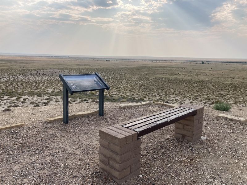
Location. 37° 51.698′ N, 103° 43.882′ W. Marker is near Timpas, Colorado, in Otero County. Marker is on State Highway 71 north of U.S. 350, on the left when traveling north. Located at the Sierra Vista Overlook. Touch for map. Marker is in this post office area: La Junta CO 81050, United States of America. Touch for directions.
Other nearby markers. At least 1 other marker is within 14 miles of this marker, measured as the crow flies. George Washington Swink (approx. 13.4 miles away).
Also see . . . Sierra Vista. (Submitted on September 1, 2021, by Connor Olson of Kewaskum, Wisconsin.)
Credits. This page was last revised on September 2, 2021. It was originally submitted on September 1, 2021, by Connor Olson of Kewaskum, Wisconsin. This page has been viewed 131 times since then and 10 times this year. Photos: 1, 2. submitted on September 1, 2021, by Connor Olson of Kewaskum, Wisconsin. • Andrew Ruppenstein was the editor who published this page.

