Near La Junta in Otero County, Colorado — The American Mountains (Southwest)
A Ribbon Across the Plains
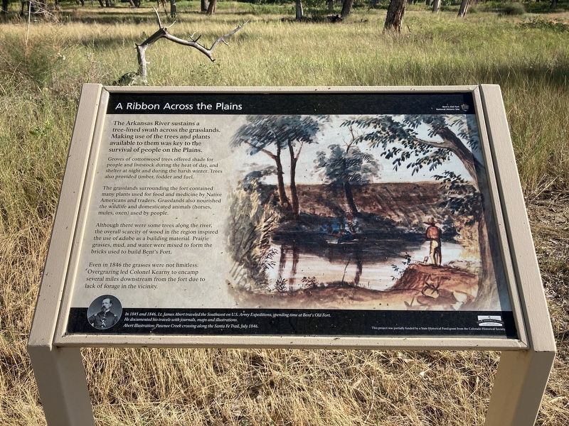
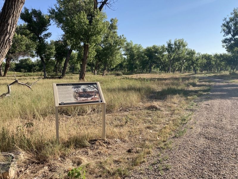
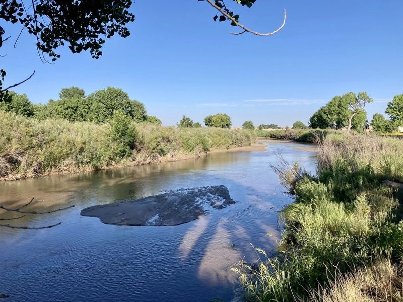
Groves of cottonwood trees offered shade for people and livestock during the heat of day, and shelter at night and during the harsh winter. Trees also provided timber, fodder and fuel.
The grasslands surrounding the fort contained many plants used for food and medicine by Native Americans and traders. Grasslands also nourished the wildlife and domesticated animals (horses, mules, oxen) used by people.
Although there were some trees along the river, the overall scarcity of wood in the region inspired the use of adobe as a building material. Prairie grasses, mud, and water were mixed to form the bricks used to build Bent's Fort.
Even in 1846 the grasses were not limitless. Overgrazing led Colonel Kearny to encamp several miles downstream from the fort due to lack of forage in the vicinity.
Caption: In 1845 and 1846, Lt. James Abert traveled the Southwest on U.S. Army Expeditions, spending time at Bents Old Fort. He documented his travels with journals, maps and illustrations.
Erected by National Park Service.
Topics. This historical marker is listed in these topic lists: Environment • Forts and Castles • Native Americans. A significant historical year for this entry is 1846.
Location. 38° 2.316′ N, 103° 25.504′ W. Marker is near La Junta, Colorado, in Otero County. Marker can be reached from State Highway 194 east of County Highway 35. Located on the Big Loop Trail. Touch for map. Marker is at or near this postal address: 35110 CO Hwy 194, La Junta CO 81050, United States of America. Touch for directions.
Other nearby markers. At least 8 other markers are within walking distance of this marker. At Home in the Valley (about 600 feet away, measured in a direct line); An International River (about 700 feet away); Sheer Abundance to Near Extinction (approx. ¼ mile away); Edward Dorris (approx. 0.3 miles away); Welcome to the Borderlands (approx. half a mile away); Mountain Men to Merchants (approx. half a mile away); An Adobe Outpost (approx. half a mile away); A Cast of Colorful Characters (approx. half a mile away). Touch for a list and map of all markers in La Junta.
Credits. This page was last revised on September 2, 2021. It was originally submitted on September 2, 2021, by Connor Olson of Kewaskum, Wisconsin. This page has been viewed 99 times since then and 8 times this year. Photos: 1, 2, 3. submitted on September 2, 2021, by Connor Olson of Kewaskum, Wisconsin. • Andrew Ruppenstein was the editor who published this page.


