Westphalia in Osage County, Missouri — The American Midwest (Upper Plains)
Osage County
[side 1]
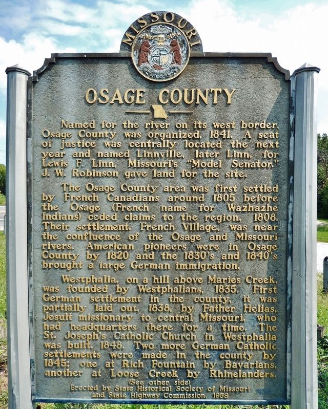
Named for the river on its west border, Osage County was organized, 1841. A seat of justice was centrally located the next year and named Linnville, later Linn, for Lewis F. Linn, Missouri's "Model Senator." J.W. Robinson gave land for the site.
The Osage County area was first settled by French Canadians around 1805 before the Osage (French name for Wazhazhe Indians) ceded claims to the region, 1808. Their settlement, French Village, was near the confluence of the Osage and Missouri Rivers. American pioneers were in Osage County by 1820 and the 1830's and 1840's brought a large German immigration.
Westphalia, on a hill above Maries Creek, was founded by Westphalians, 1835. First German settlement in the county, it was partially laid out, 1838, by Father Helias, Jesuit missionary to central Missouri, who had headquarters there for a time. The St. Joseph's Catholic Church in Westphalia was built, 1848. Two more German Catholic settlements were made in the county by 1845; one at Rich Fountain by Bavarians, another at Loose Creek by Rhinelanders.
[side 2]
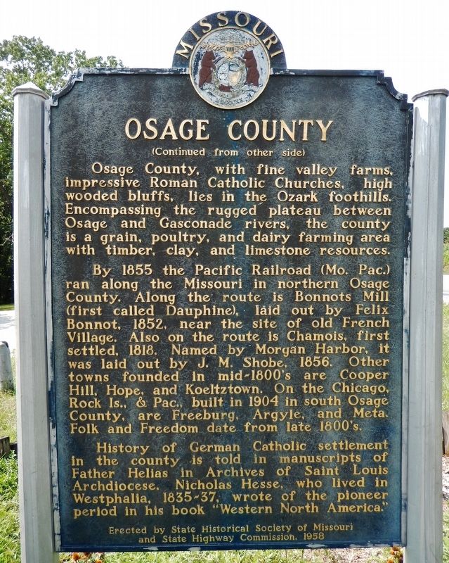
Osage County, with fine valley farms, impressive Roman Catholic Churches, high wooded bluffs, lies in the Ozark foothills. Encompassing the rugged plateau between Osage and Gasconade rivers, the county is a grain, poultry, and dairy farming area with timber, clay, and limestone resources.
By 1855 the Pacific Railroad (Mo. Pac.) ran along the Missouri in northern Osage County. Along the route is Bonnots Mill (first called Dauphine), laid out by Felix Bonnot, 1852, near the site of old French Village. Also on the route is Chamois, first settled 1818. Named by Morgan Harbor, it was laid out by J.M. Shobe, 1856. Other towns founded in mid-1800's are Cooper Hill, Hope, and Koeltztown. On the Chicago, Rock Is., & Pac., built in 1904 in south Osage County, are Freeburg, Argyle, and Meta. Folk and Freedom date from late 1800's.
History of German Catholic settlement in the county is told in manuscripts of Father Helias in Archives of Saint Louis Archdiocese. Nicholas Hesse, who lived in Westphalia, 1835-37, wrote of the pioneer period in his book "Western North America."
Erected 1958 by State Historical Society of Missouri; and State Highway Commission.
Topics and series. This historical marker is listed in these topic lists: Agriculture • Railroads & Streetcars • Settlements & Settlers • Waterways & Vessels. In addition, it is included in the Missouri, The State Historical Society of series list. A significant historical year for this entry is 1841.
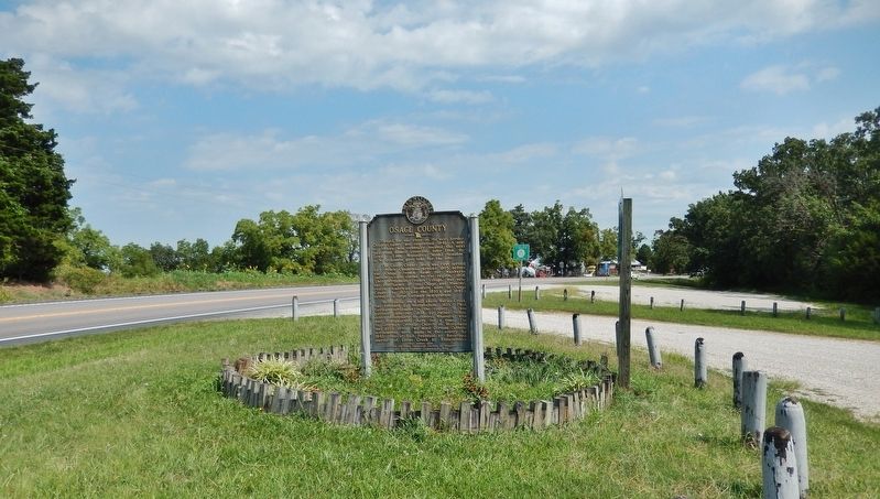
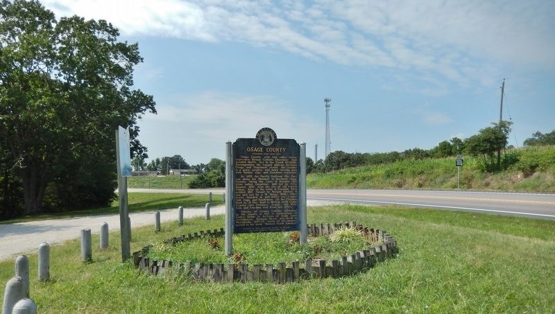
Location. 38° 27.238′ N, 92° 0.609′ W. Marker is in Westphalia, Missouri, in Osage County. Marker is on U.S. 63, 0.2 miles north of State Highway 133, on the right when traveling north. Marker is located in a pull-out on the east side of the highway. Touch for map. Marker is in this post office area: Westphalia MO 65085, United States of America. Touch for directions.
Other nearby markers. At least 8 other markers are within 11 miles of this marker, measured as the crow flies. War Memorial (approx. 1.1 miles away); 75 mm Pack Howitzer on M8 Carriage (approx. 7.4 miles away); M551 Sheridan Tank (approx. 7.4 miles away); F-15 Eagle Fighter (approx. 7.4 miles away); M901 ITV "Hammer Head" (approx. 7.4 miles away); Spanish-American War Memorial (approx. 7.4 miles away); Osage County Veteran Memorial (approx. 8.8 miles away); Freedom Corner (approx. 10.7 miles away).
Also see . . .
1. A brief history and description of the Osage Indians from Missouri. The Osage Indians were originally located in Missouri near the Missouri and Osage rivers. They were first discovered by French explorers around 1673. The United States government started to take away land from the Osage Indians in 1808. A reservation was formed for the Osage Indians in Southern Kansas in 1825. As with many other tribes they were relocated to Oklahoma. (Submitted on September 3, 2021, by Cosmos Mariner of Cape Canaveral, Florida.)
2. Osage County History. In 1857, the Missouri
Pacific Railroad began to cut into the rolling Missouri countryside, in turn developing the northern section of the county along the Missouri River. While railroads were under construction, hard working Missourians cut, hauled and hewed railroad ties from lush oak forests in the county. Strong men, some with Missouri mules, did it all with no machinery in the 1800s, often making less than a dollar a day. The Rock Island Railroad brought social and commercial progress to southern Osage County by 1903, providing, at last, connection to markets for agricultural produce. (Submitted on September 3, 2021, by Cosmos Mariner of Cape Canaveral, Florida.)
Credits. This page was last revised on September 3, 2021. It was originally submitted on September 2, 2021, by Cosmos Mariner of Cape Canaveral, Florida. This page has been viewed 531 times since then and 91 times this year. Photos: 1, 2, 3, 4. submitted on September 3, 2021, by Cosmos Mariner of Cape Canaveral, Florida.


