Near Culpeper in Culpeper County, Virginia — The American South (Mid-Atlantic)
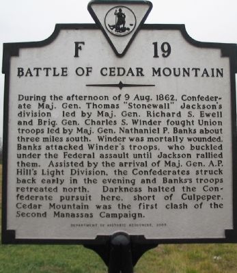
Battle of Cedar Mountain
Erected 2000 by Department of Historic Resources. (Marker Number F-19.)
Topics and series. This historical marker is listed in this topic list: War, US Civil. In addition, it is included in the Virginia Department of Historic Resources (DHR) series list. A significant historical date for this entry is August 9, 1862.
Location. 38° 26.455′ N, 78° 1.246′ W. Marker is near Culpeper, Virginia, in Culpeper County. Marker is at the intersection of James Madison Highway (U.S. 15) and Madison Road, on the right when traveling south on James Madison Highway. Touch for map. Marker is in this post office area: Culpeper VA 22701, United States of America. Touch for directions.
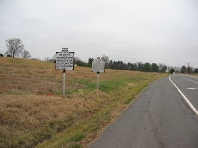
Other nearby markers. At least 8 other markers are within 3 miles of this marker, measured as the crow flies. Lee and Pope (here, next to this marker); Mount Pony Signal Station (approx. 0.6 miles away); Greenwood (approx. 1.4 miles away); Col. John Jameson (approx. 2 miles away); Mitchells Presbyterian Church (approx. 2.2 miles away); Guinn Bungalow (approx. 2.2 miles away); 902 South East Street (approx. 2.3 miles away); 901 South East Street (approx. 2.3 miles away). Touch for a list and map of all markers in Culpeper.
More about this marker. This marker replaced a previous F 19 with the same title which read, "Here Stonewall Jackson halted his advance late in the afternoon of August 9, 1862, having driven Banks back from Cedar Mountain." The old marker stood about a mile and a half further north on US. Highway 15.
Regarding Battle of Cedar Mountain. This is one of several markers interpreting the Battle of Cedar Mountain. See the Battle of Cedar Mountain Virtual Tour by Markers linked below.
Also see . . .
1. Friends of Cedar Mountain Battlefield. Assisted by the Civil War Preservation Trust, the organization has worked to restore the 152-acre Cedar Mountain Battlefield Park to its wartime appearance. (Submitted on December 30, 2007, by Craig Swain of Leesburg, Virginia.)
2. Battle of Cedar Mountain Virtual Tour by Markers. A set markers that document the Battle of Cedar Mountain, August 9, 1862. (Submitted on January 1, 2008, by Craig Swain of Leesburg, Virginia.)

Photographed By Craig Swain, December 22, 2007
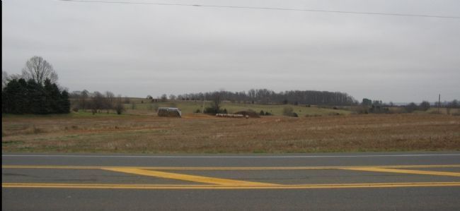
3. Confederate Pursuit
The Federals retreated through farm lanes and along the Orange and Culpeper Road as the sun sat on August 9, 1862. The Road's historical path lay through the valley in the foreground. This ground near the battlefield on the east side of modern James Madison Highway has changed only little since the battle, dominated by farmland. However the west side is heavily developed.
Credits. This page was last revised on September 6, 2021. It was originally submitted on December 30, 2007, by Craig Swain of Leesburg, Virginia. This page has been viewed 2,215 times since then and 33 times this year. Last updated on September 3, 2021, by Bradley Owen of Morgantown, West Virginia. Photos: 1, 2. submitted on December 30, 2007, by Craig Swain of Leesburg, Virginia. 3. submitted on January 1, 2008, by Craig Swain of Leesburg, Virginia. • Bernard Fisher was the editor who published this page.

