Old Saybrook Center in Lower Connecticut River Valley Region, Connecticut — The American Northeast (New England)
Say-Brooke
Photographed by Michael Herrick, September 2, 2021
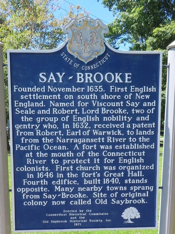
1. Say-Brooke Marker
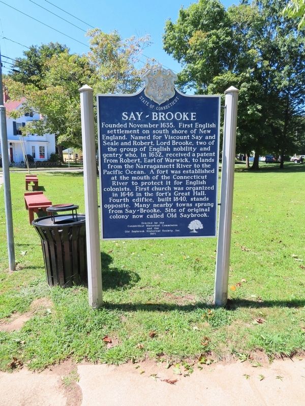
Founded November 1635. First English settlement on south shore of New England. Named for Viscount Say and Seale and Robert, Lord Brooke, two of the group of English nobility and gentry who, in 1632, received a patent from Robert, Earl of Warwick, to lands from the Narragansett River to the Pacific Ocean. A fort was established at the mouth of the Connecticut River to protect it for English colonists. First church was organized in 1646 in the fort's Great Hall. Fourth edifice, built 1840, stands opposite. Many nearby towns sprang from Say-Brooke. Site of original colony now called Old Saybrook.
Erected by the Connecticut Historical Commission and the Old Saybrook Historical Society, Inc. 1971
Erected 1971 by Connecticut Historical Commission and the Old Saybrook Historical Society, Inc.
Topics. This historical marker is listed in these topic lists: Colonial Era • Settlements & Settlers. A significant historical month for this entry is November 1635.
Location. 41° 17.198′ N, 72° 22.539′ W. Marker is in Old Saybrook in Lower Connecticut River Valley Region, Connecticut. It is in Old Saybrook Center. It is at the intersection
this page online

Regionally, this marker is in the Connecticut River Valley, on the Connecticut Shoreline, and in Mystic and the Eastern Shore. It is also in the American Northeast, in New England, and on the Eastern Seaboard. Globally, it is in the North Atlantic Region, North America, the Western Hemisphere, the Western World, and the Anglosphere. Historically, it finds itself in what was once Middlesex County and also one of the original Thirteen Colonies.
Other nearby markers. At least 8 other markers are within walking distance of this marker: Third Meetinghouse (here, next to this marker); Lafayette's Tour (within shouting distance of this marker); The First Church of Christ in Saybrook (within shouting distance of this marker); Anna Louise James (within shouting distance of this marker); In this shop… (within shouting distance of this marker); Battlefields of the Pequot War (within shouting distance
Photographed by Michael Herrick, September 2, 2021
2. Say-Brooke Marker
Also see . . .
1. Old Saybrook, Connecticut. (Submitted on September 4, 2021, by Michael Herrick of Southbury, Connecticut.)
2. Old Saybrook, Connecticut (Wikipedia). (Submitted on September 4, 2021, by Michael Herrick of Southbury, Connecticut.)
3. Old Saybrook Historical Society. (Submitted on September 4, 2021, by Michael Herrick of Southbury, Connecticut.)
Photographed by Michael Herrick, September 2, 2021
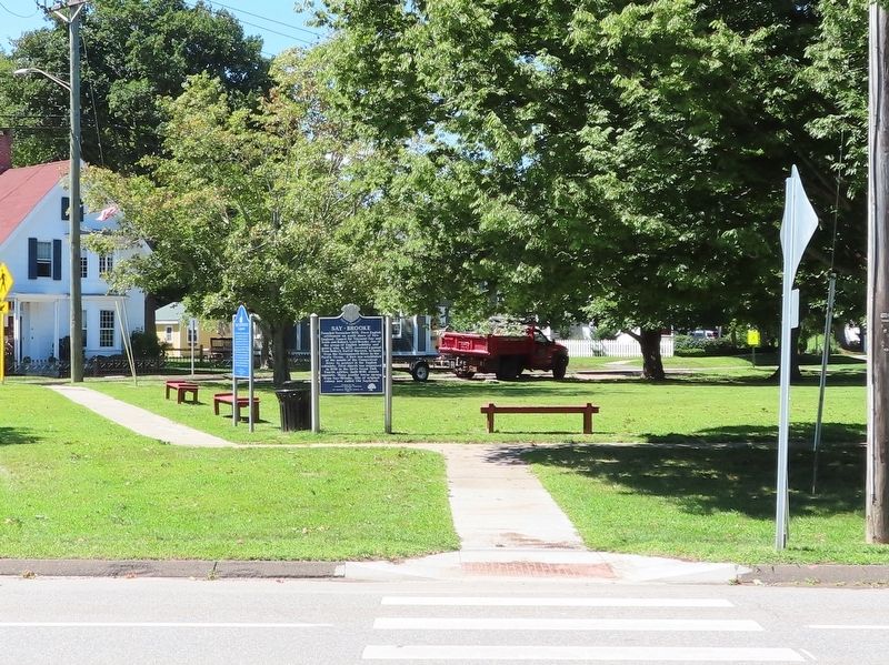
3. Say-Brooke Marker
Credits. This page was last revised on May 19, 2026. It was originally submitted on September 4, 2021, by Michael Herrick of Southbury, Connecticut. This page has been viewed 524 times since then and 47 times this year. Photos: 1, 2, 3. submitted on September 4, 2021, by Michael Herrick of Southbury, Connecticut.
