Near Middlesboro in Bell County, Kentucky — The American South (East South Central)
Cumberland Gap / Grant Visits Cumberland Gap
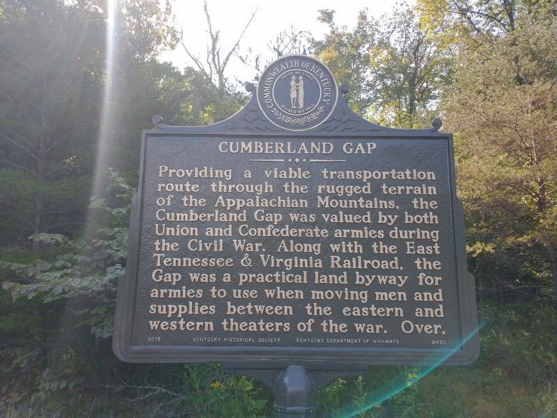
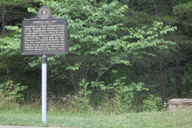
Cumberland Gap
Providing a viable transportation route through the rugged terrain of the Appalachian Mountains, the Cumberland Gap was valued by both Union and Confederate armies during the Civil War. Along with the East Tennessee & Virginia Railroad, the Gap was a practical land byway for armies to use when moving men and supplies between the eastern and western theaters of war. Over.
(side 2)
Grant Visits Cumberland Gap
In Jan. 1864, Union General U.S. Grant traveled through the Gap on his way from Knoxville to Lexington to survey the road as a supply line for Union troops operating in East Tennessee. Grant wrote, "The road over Cumberland Gap, and back of it, was strewn with debris of broken wagons and dead animals." After the war, the dangerous road was known as the Devil's Stairway.
Erected 2015 by Kentucky Historical Society & Kentucky Department of Highways. (Marker Number 2450.)
Topics and series. This historical marker is listed in these topic lists: Roads & Vehicles • War, US Civil. In addition, it is included in the Kentucky Historical Society series list.
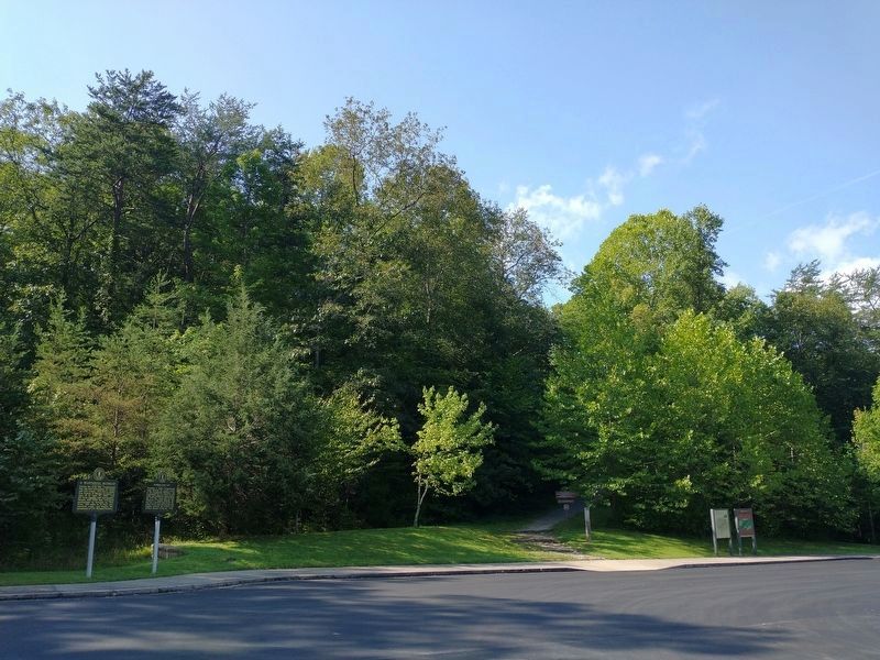
Location. 36° 36.544′ N, 83° 40.659′ W. Marker is near Middlesboro, Kentucky, in Bell County. Marker can be reached from the intersection of Old Wilderness Road (Kentucky Route 988) and Pinnacle View Road, on the right when traveling north. Marker is located in the Thomas Walker Parking Area within the Cumberland Gap National Historical Park. Touch for map. Marker is in this post office area: Middlesboro KY 40965, United States of America. Touch for directions.
Other nearby markers. At least 8 other markers are within walking distance of this marker. A Masterful Retreat (here, next to this marker); Two-Way Traffic (a few steps from this marker); An Object Lesson Road (within shouting distance of this marker); Warriors' Path (about 400 feet away, measured in a direct line); Forts and Batteries, North and South (approx. 0.2 miles away); Two Armies, One Railroad (approx. 0.2 miles away); a different marker also named An Object Lesson Road (approx. ¼ mile away); Wilderness Road (approx. 0.3 miles away). Touch for a list and map of all markers in Middlesboro.
Also see . . . Cumberland Gap National Historical Park. National Park Service. (Submitted on July 25, 2021.)
Credits. This page was last revised on September 6, 2021. It was originally submitted on July 24, 2021, by Tom Bosse of Jefferson City, Tennessee. This page has been viewed 278 times since then and 44 times this year. Last updated on September 5, 2021, by Tom Bosse of Jefferson City, Tennessee. Photos: 1, 2. submitted on September 5, 2021, by Tom Bosse of Jefferson City, Tennessee. 3, 4. submitted on July 24, 2021, by Tom Bosse of Jefferson City, Tennessee. 5. submitted on September 5, 2021, by Tom Bosse of Jefferson City, Tennessee. • Bernard Fisher was the editor who published this page.


