Pineville in Bell County, Kentucky — The American South (East South Central)
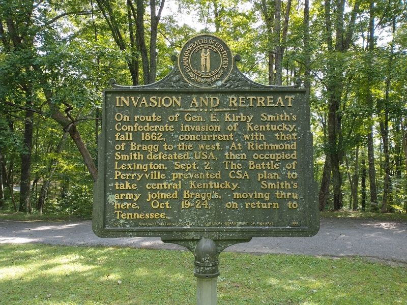
Invasion and Retreat
Erected 2008 by Kentucky Historical Society & Kentucky Department of Highways. (Marker Number 683.)
Topics. This historical marker is listed in this topic list: War, US Civil. A significant historical date for this entry is October 19, 1862.
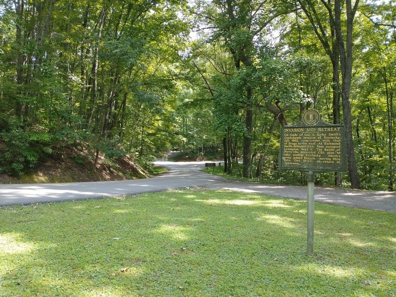
Location. 36° 44.962′ N, 83° 43.193′ W. Marker is in Pineville, Kentucky, in Bell County. Marker is on State Park Road (Kentucky Route 382) west of Chained Rock Road, on the right when traveling north. Located in Pine Mountain State Resort Park. Touch for map. Marker is in this post office area: Pineville KY 40977, United States of America. Touch for directions.
Other nearby markers. At least 8 other markers are within 2 miles of this marker, measured as the crow flies. Chained Rock (approx. 1.3 miles away); Wallsend Mine (approx. 1.3 miles away); Wilderness Road Cemetery (approx. 1˝ miles away); First Camp Site In Kentucky (approx. 1˝ miles away); The Wilderness Road (approx. 1˝ miles away); Naming of the Cumberland River (approx. 1˝ miles away); a different marker also named The Wilderness Road (approx. 1˝ miles away); Henderson Settlement (approx. 1.6 miles away). Touch for a list and map of all markers in Pineville.
Credits. This page was last revised on September 6, 2021. It was originally submitted on September 6, 2021, by Tom Bosse of Jefferson City, Tennessee. This page has been viewed 193 times since then and 27 times this year. Photos: 1, 2, 3. submitted on September 6, 2021, by Tom Bosse of Jefferson City, Tennessee. • Bernard Fisher was the editor who published this page.


