Pineville in Bell County, Kentucky — The American South (East South Central)
Chained Rock
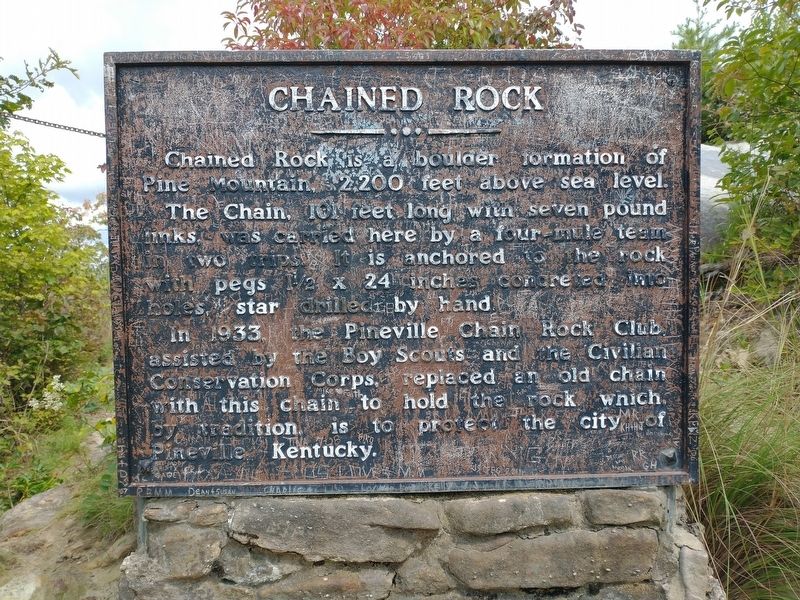
Photographed by Tom Bosse, September 4, 2021
1. Chained Rock Marker
Topics and series. This historical marker is listed in this topic list: Natural Features. In addition, it is included in the Civilian Conservation Corps (CCC) series list. A significant historical year for this entry is 1933.
Location. 36° 45.201′ N, 83° 41.862′ W. Marker is in Pineville, Kentucky, in Bell County. It can be reached from Chained Rock Road 4 miles east of 382, on the right when traveling east. The is located approximately 1/2 mile from the Chained Rock Trailhead, and the end of Chained Rock Road. Touch for map. Marker is in this post office area: Pineville KY 40977, United States of America. Touch for directions.

Regionally,
this page online
Other nearby markers. At least 8 other markers are within walking distance of this marker: The Wilderness Road (approx. 0.3 miles away); Mountain Gateway (approx. 0.6 miles away); Bell County War Dead Memorial (approx. 0.6 miles away); Joshua Fry Bell (approx. 0.6 miles away); Daniel Boone's Trail (approx. 0.6 miles away); Wilderness Road Cemetery (approx. 0.7 miles away); Cumberland Ford (approx. ¾ mile away); Naming of the Cumberland River (approx. 0.8 miles away). Touch for a list and map of all markers in Pineville.
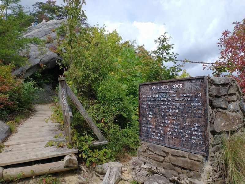
Photographed by Tom Bosse, September 4, 2021
2. Chained Rock Marker
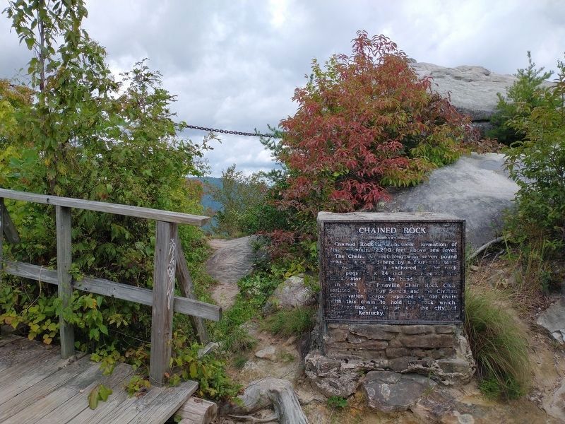
Photographed by Tom Bosse, September 4, 2021
3. Chained Rock Marker
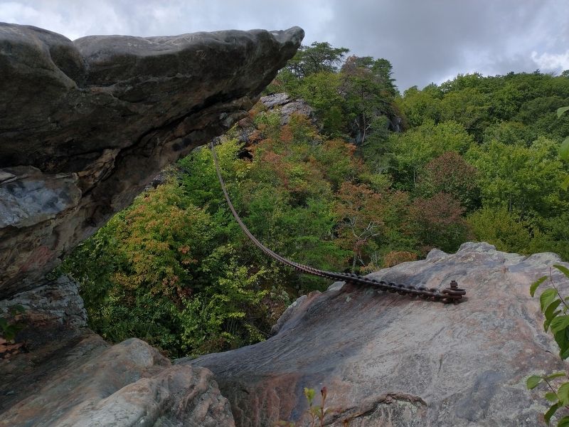
Photographed by Tom Bosse, September 4, 2021
4. Chained Rock - Lower Anchor
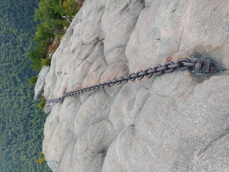
Photographed by Tom Bosse, September 4, 2021
5. Chained Rock - Upper Anchor
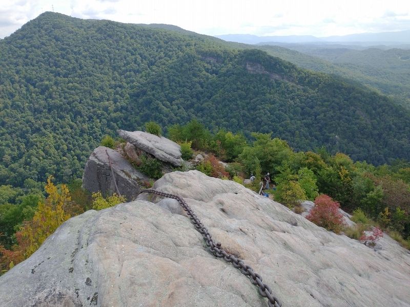
Photographed by Tom Bosse, September 4, 2021
6. Chained Rock
Photographed by Tom Bosse, September 4, 2021
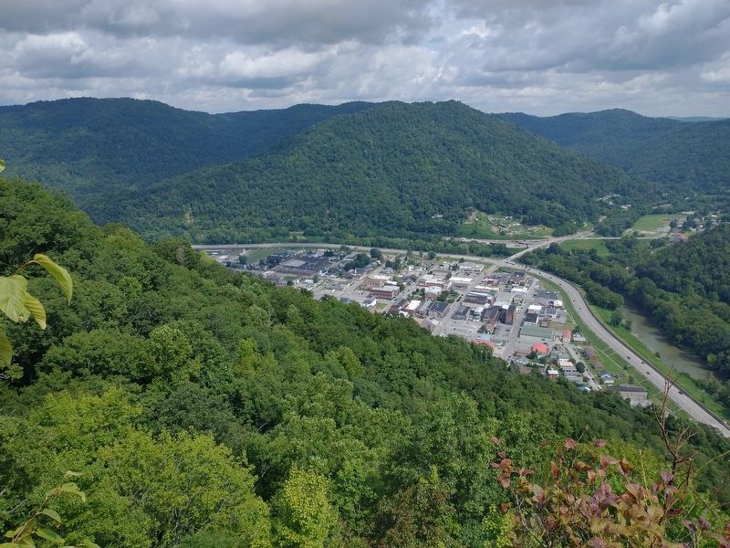
7. Pineville, KY as viewed from Chained Rock
Credits. This page was last revised on September 8, 2021. It was originally submitted on September 6, 2021, by Tom Bosse of Jefferson City, Tennessee. This page has been viewed 1,750 times since then and 86 times this year. Photos: 1, 2. submitted on September 6, 2021, by Tom Bosse of Jefferson City, Tennessee. 3. submitted on September 8, 2021, by Tom Bosse of Jefferson City, Tennessee. 4, 5, 6, 7. submitted on September 6, 2021, by Tom Bosse of Jefferson City, Tennessee. • Devry Becker Jones was the editor who published this page.
