Near Gagetown in Tuscola County, Michigan — The American Midwest (Great Lakes)
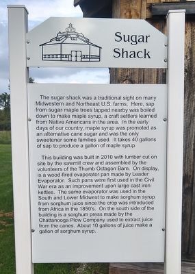
Sugar Shack
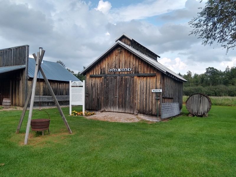
The sugar shack was a traditional sight on many Midwestern and Northeast U.S. farms. Here, sap from sugar maple trees tapped nearby was boiled down to make maple syrup, a craft settlers learned from Native Americans in the area. In the early days of our country, maple syrup was promoted as an alternative to cane sugar and was the only sweetener some families used. It takes 40 gallons of sap to produce a gallon of maple syrup.
This building was built in 2010 with lumber cut on site by the sawmill crew and assembled by the volunteers of the Thumb Octagon Barn. On display, is a wood-fired evaporator pan made by Leader Evaporator. Such pans were first used in the Civil War era as an improvement upon large cast iron kettles. The same evaporator was used in the South and Lower Midwest to make sorghum syrup from sorghum juice since the crop was introduced from Africa in the 1850's. On the south side of the building is a sorghum press made by the Chattanooga Plow Company used to extract juice from the canes. About 10 gallons of juice make a gallon of sorghum syrup.
Erected by Thumb Octagon Barn Agricultural Museum.
Topics. This historical marker is listed in this topic list: Agriculture. A significant historical year for this entry is 2010.
Location. 43° 40.303′ N, 83° 12.902′ W. Marker is near Gagetown, Michigan, in Tuscola County. Marker can be reached from Richie Road , 0.9 miles north of Bay City Forestville Road, on the right when traveling north. Marker is at the Thumb Octagon Barn Agricultural Museum. Touch for map. Marker is at or near this postal address: 6948 Richie Road, Gagetown MI 48735, United States of America. Touch for directions.
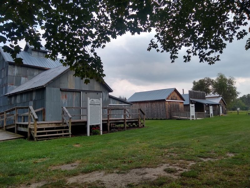
Other nearby markers. At least 8 other markers are within walking distance of this marker. Blacksmith Shop (a few steps from this marker); Cider Mill (within shouting distance of this marker); Grain Elevator (within shouting distance of this marker); One Room Schoolhouse (within shouting distance of this marker); Octagon Barn (about 400 feet away, measured in a direct line); Powerhouse (about 500 feet away); Garage (about 500 feet away); House (about 600 feet away). Touch for a list and map of all markers in Gagetown.
Credits. This page was last revised on September 6, 2021. It was originally submitted on September 6, 2021, by Joel Seewald of Madison Heights, Michigan. This page has been viewed 116 times since then and 12 times this year. Photos: 1, 2, 3, 4. submitted on September 6, 2021, by Joel Seewald of Madison Heights, Michigan.


