Pineville in Bell County, Kentucky — The American South (East South Central)
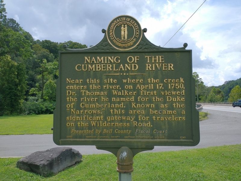
Naming of the Cumberland River
Erected 2000. (Marker Number 2045.)
Topics. This historical marker is listed in these topic lists: Colonial Era • Waterways & Vessels. A significant historical date for this entry is April 17, 1750.
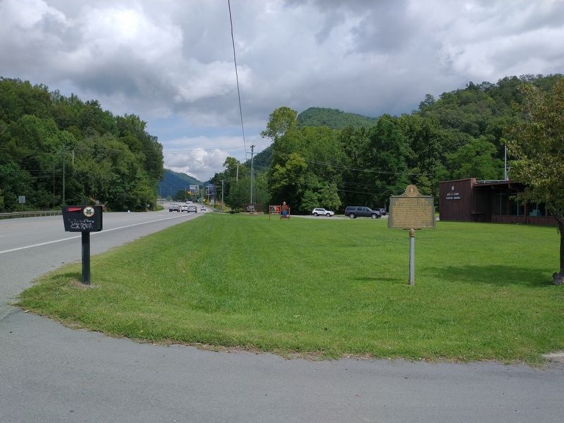
Location. 36° 44.557′ N, 83° 41.608′ W. Marker is in Pineville, Kentucky, in Bell County. Marker is on U.S. 25E, on the right when traveling north. Marker located in front of the Division of Forestry. Touch for map. Marker is at or near this postal address: 12008 Hwy 25E, Pineville KY 40977, United States of America. Touch for directions.
Other nearby markers. At least 8 other markers are within 2 miles of this marker, measured as the crow flies. Wilderness Road Cemetery (about 400 feet away, measured in a direct line); Henderson Settlement (approx. 0.4 miles away); First Camp Site In Kentucky (approx. half a mile away); Chained Rock (approx. 0.8 miles away); The Wilderness Road (approx. 0.9 miles away); Mountain Gateway (approx. 1.3 miles away); Bell County War Dead Memorial (approx. 1.3 miles away); Joshua Fry Bell (approx. 1.3 miles away). Touch for a list and map of all markers in Pineville.
Also see . . . Thomas Walker (explorer). (Submitted on September 6, 2021, by Tom Bosse of Jefferson City, Tennessee.)
Credits. This page was last revised on September 15, 2021. It was originally submitted on September 6, 2021, by Tom Bosse of Jefferson City, Tennessee. This page has been viewed 208 times since then and 30 times this year. Photos: 1, 2. submitted on September 6, 2021, by Tom Bosse of Jefferson City, Tennessee. • Bill Pfingsten was the editor who published this page.

