Oak Ridge in Guilford County, North Carolina — The American South (South Atlantic)
Historic Oak Ridge
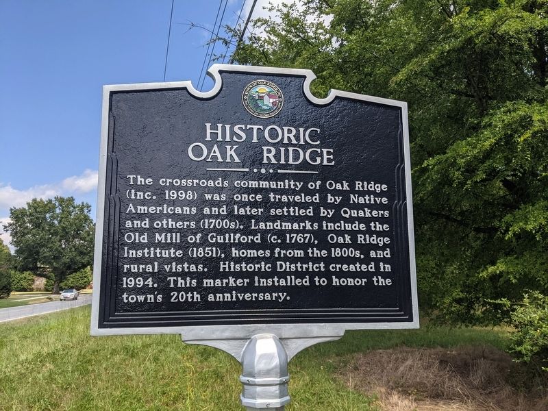
Photographed by Mike Wintermantel, September 6, 2021
1. Historic Oak Ridge Marker
Erected 2018 by Town of Oak Ridge.
Topics. This historical marker is listed in these topic lists: Education • Indigenous Peoples and Communities • Settlements & Settlers. A significant historical year for this entry is 1994.
Location. 36° 9.784′ N, 80° 0.271′ W. Marker is in Oak Ridge, North Carolina, in Guilford County. It is at the intersection of Oak Ridge Road (State Highway 150) and Williard Road, on the right when traveling east on Oak Ridge Road. Touch for map. Marker is in this post office area: Oak Ridge NC 27310, United States of America. Touch for directions.

Regionally, this marker is in North Carolina’s Piedmont and specifically in Piedmont Triad. It is also in the American South and specifically in the Upper South. Globally, it is in
this page online
Other nearby markers. At least 8 other markers are within 2 miles of this marker, measured as the crow flies: Jesse Benbow House (approx. 0.2 miles away); Charles Benbow House (approx. half a mile away); Oak Ridge Public School (approx. ¾ mile away); Stafford-Benbow House (approx. 0.8 miles away); Oak Ridge Institute (approx. 1.3 miles away); Linville Chapel (approx. 1.3 miles away); Oakhurst (approx. 1½ miles away); Bailes Old Mill (approx. 1½ miles away). Touch for a list and map of all markers in Oak Ridge.
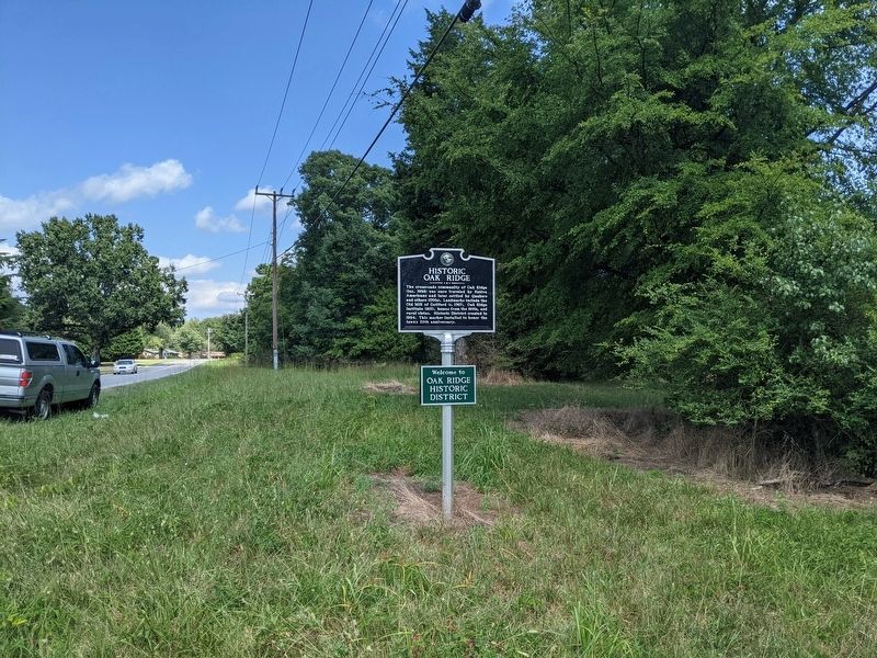
Photographed by Mike Wintermantel, September 6, 2021
2. Historic Oak Ridge Marker
Credits. This page was last revised on September 6, 2021. It was originally submitted on September 6, 2021, by Mike Wintermantel of Pittsburgh, Pennsylvania. This page has been viewed 936 times since then and 63 times this year. Photos: 1, 2. submitted on September 6, 2021, by Mike Wintermantel of Pittsburgh, Pennsylvania.
