Port Lavaca in Calhoun County, Texas — The American South (West South Central)
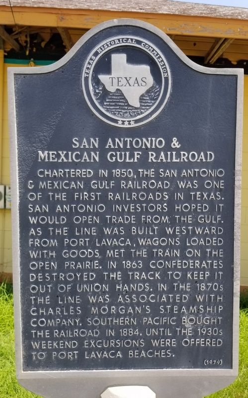
San Antonio & Mexican Gulf Railroad
Erected 1979 by Texas Historical Commission. (Marker Number 4518.)
Topics. This historical marker is listed in these topic lists: Industry & Commerce • Railroads & Streetcars • War, US Civil. A significant historical year for this entry is 1850.
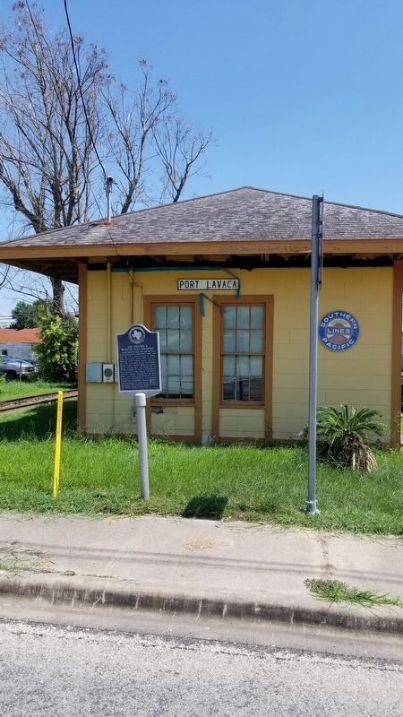
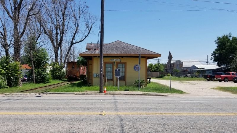
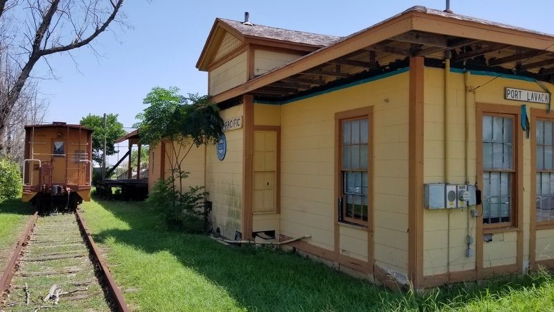
Location. 28° 36.931′ N, 96° 37.597′ W. Marker is in Port Lavaca, Texas, in Calhoun County. Marker is at the intersection of North Virginia Street (Farm to Market Road 1090) and Railroad Street, on the right when traveling north on North Virginia Street. The marker is located in front of the old Southern Pacific train depot building. Touch for map. Marker is in this post office area: Port Lavaca TX 77979, United States of America. Touch for directions.
Other nearby markers. At least 8 other markers are within walking distance of this marker. Beach Hotel (approx. 0.2 miles away); Calhoun County Participation During World War II (approx. 0.2 miles away); Calhoun County Hurricanes (approx. 0.2 miles away); Howard Gallemore Hartzog, Sr. (approx. 0.2 miles away); Wood Barrels of Cement (approx. ¼ mile away); Grace Episcopal Church (approx. ¼ mile away); Mt. Sinai Baptist Church (approx. 0.4 miles away); Civil War Torpedo Works (approx. 0.4 miles away). Touch for a list and map of all markers in Port Lavaca.
Also see . . . San Antonio and Mexican Gulf Railroad.
In antebellum Texas the increasing amount of freight arriving at Indianola and Port Lavaca destined for western markets demanded a better method of transportation than the poor wagon roads from the coast were able to deliver. Railroad entrepreneurs envisioned a number of lines to serve this market and hoped as well to tap the rich cotton-growing areas of the interior. Source: The Handbook of Texas(Submitted on September 7, 2021, by James Hulse of Medina, Texas.)
Credits. This page was last revised on September 7, 2021. It was originally submitted on September 6, 2021, by James Hulse of Medina, Texas. This page has been viewed 226 times since then and 24 times this year. Photos: 1, 2, 3, 4. submitted on September 7, 2021, by James Hulse of Medina, Texas.


