Near Elkton in Brookings County, South Dakota — The American Midwest (Upper Plains)
Brookings County / Moody County
You are about to enter
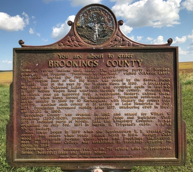
Brookings County
home of roving Indians until 1862. The exploring party of Nicollet, scientist, and Fremont, "Pathfinder of the West," visited Oakwood Lakes, July 1838, leaving the first reliable record.
The region East of the Big Sioux was ceded by the Santee Sioux in 1851; that to the west by the Yankton Sioux In 1858. A breastwork was made at Oakwood Lakes in 1859 and occupied again in 1862-63. In 1857 Nobles Wagon Road was built through the county, crossing the Big Sioux over an improved ford. A settlement, Medary, existed there, 1857-58, when Sioux forced its abandonment. Permanent settlement was begun nearby in 1869 by 10 Norwegians, with Medary the county seat 1871-79. Another such colony of 31 settled at Lake Hendricks in July 1873. Population increased rapidly after 1877, numbering 4965 in 1880, and 10,132 in 1890.
Brookings County was created in 1862 and named for Wilmot W. Brookings (1830-1905), prominent pioneer judge and legislator. Until 1873 it included parts of Moody, Lake and Kingsbury Counties. It was organized on July 3rd, 1871 in Martin N. Trygstad's cabin, 4 miles NW of Medary.
Most towns began in 1879 when the Northwestern R. R. crossed the county, and others when roads pushed North in 1884. Medary, Oakwood and Fountain became ghost towns and Brookings the county seat. In 1881 State College was established in Brookings, opening its doors in 1884.
Brookings County welcomes you to its 791 square miles of prosperous farms, beautiful lakes and happy homes.
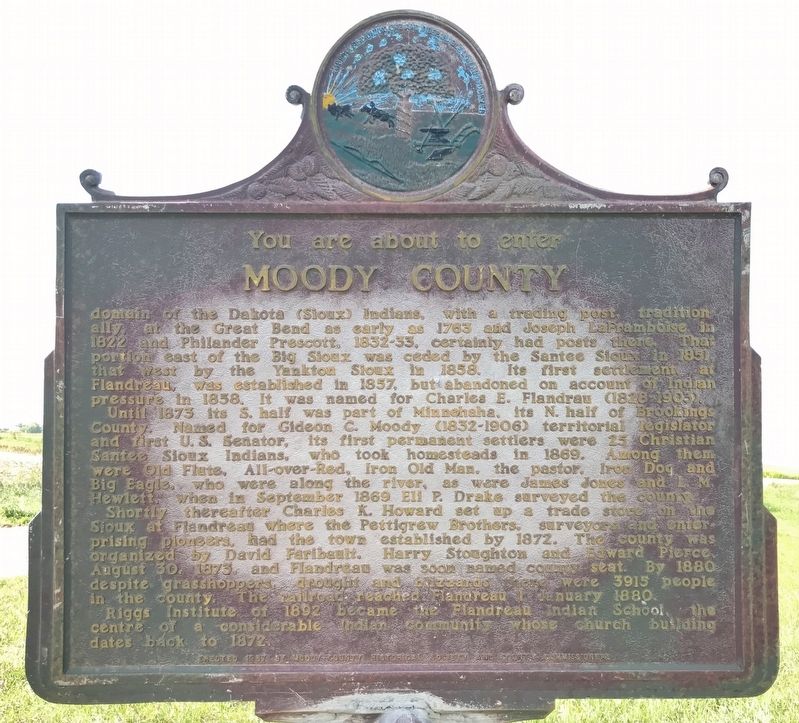
Moody County
domain of the Dakota (Sioux) Indians, with a trading post, traditionally, at the Great Bend as early as 1763 and Joseph LaFramboise in 1822 and Philander Prescott, 1832-33, certainly had posts there. That portion east of the Big Sioux was ceded by the Santee Sioux in 1851, that west by the Yankton Sioux In 1858. Its first settlement, at Flandreau, was established in 1857, but abandoned on account of Indian pressure in 1858. It was named for Charles E. Flandrau (1828-1903).
Until 1873 its S. half was part of Minnehaha, its N. half of Brookings County. Named for Gideon C. Moody (1832-1906) territorial legislator and first U.S. Senator, its first permanent settlers were 25 Christian Santee Sioux Indians, who took homesteads in 1869. Among them were Old Flute, All-over-Red, Iron Old Man, the pastor, Iron Dog and Big Eagle, who were along the river, as were James Jones and L. M. Hewlett, when in September 1869 Eli P. Drake surveyed the county.
Shortly thereafter Charles K. Howard set up a trade store on the Sioux at Flandreau where the Pettigrew Brothers, surveyors and enterprising pioneers, had the town established by 1872. The county was organized by David Faribault, Harry Stoughton and Edward Pierce, August 30, 1873, and Flandreau was soon named county seat. By 1880 despite grasshoppers, drought and blizzards there were 3915 people in the county. The railroad reached Flandreau 1 January 1880.
Riggs Institute of 1892 became the Flandreau Indian School, the centre of a considerable Indian community whose church building dates back to 1872.
Erected 1957 by the Brookings County Commissioners and Moody County Historical Society and County Commissioners. (Marker Number 196.)
Topics and series. This historical marker is listed in these topic lists: Native Americans • Settlements & Settlers. In addition, it is included in the South Dakota State Historical Society Markers series list. A significant historical year for this entry is 1862.
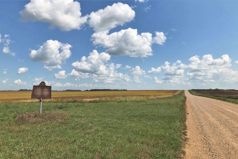
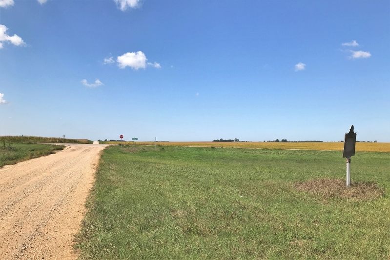
Location. 44° 11.741′ N, 96° 35.163′ W. Marker is near Elkton, South Dakota, in Brookings County. Marker is on 220th Street east of 481st Avenue (State Route 13), on the left when traveling east. Touch for map. Marker is in this post office area: Elkton SD 57026, United States of America. Touch for directions.
Other nearby markers. At least 8 other markers are within 10 miles of this marker, measured as the crow flies. Hole-In-The-Mountain (approx. 8.2 miles away); You are now Entering South Dakota (approx. 8.2 miles away); Dakota Akicita Wokisye / Dakota Soldiers Memorial (approx. 8.8 miles away); Wakpaipaksan Okodakiciye (approx. 8.8 miles away); Flandreau Christian Indian Community (approx. 8.8 miles away); Flandreau Indian High School (approx. 9.1 miles away); In Memory of Mrs. Joseph Thatcher (approx. 10 miles away); Governor Bill Janklow (approx. 10 miles away). Touch for a list and map of all markers in Elkton.
Credits. This page was last revised on September 9, 2021. It was originally submitted on September 7, 2021. This page has been viewed 113 times since then and 6 times this year. Photos: 1, 2, 3, 4. submitted on September 7, 2021. • Mark Hilton was the editor who published this page.


