Troy in Montgomery County, North Carolina — The American South (South Atlantic)
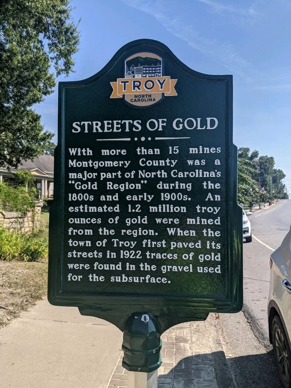
Streets of Gold
Topics. This historical marker is listed in these topic lists: Environment • Industry & Commerce. A significant historical year for this entry is 1922.
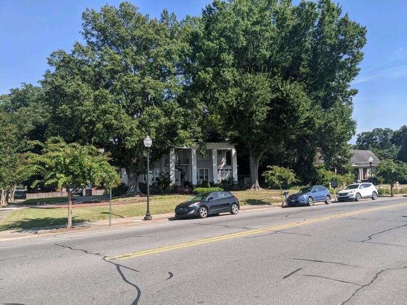
Location. 35° 21.644′ N, 79° 53.617′ W. Marker is in Troy, North Carolina, in Montgomery County. Marker is at the intersection of North Main Street (State Highway 134) and Blair Street, on the right when traveling north on North Main Street. Touch for map. Marker is in this post office area: Troy NC 27371, United States of America. Touch for directions.
Other nearby markers. At least 8 other markers are within 12 miles of this marker, measured as the crow flies. Dr. Thompson's Sanatorium (about 700 feet away, measured in a direct line); Presidential Visit (approx. 0.2 miles away); Edmund DeBerry (approx. 9.1 miles away); Zion United Methodist Church (approx. 10.6 miles away); Flora MacDonald (approx. 10.7 miles away); A.S. McRae Building (approx. 11.8 miles away); Williams Barber Shop (approx. 11.8 miles away); Ross & Ingram Grocery (approx. 11.8 miles away). Touch for a list and map of all markers in Troy.
Credits. This page was last revised on September 7, 2021. It was originally submitted on September 7, 2021, by Mike Wintermantel of Pittsburgh, Pennsylvania. This page has been viewed 157 times since then and 35 times this year. Photos: 1, 2. submitted on September 7, 2021, by Mike Wintermantel of Pittsburgh, Pennsylvania.

