Hartington in Cedar County, Nebraska — The American Midwest (Upper Plains)
Cedar County
Photographed by Cosmos Mariner, August 7, 2021
1. Cedar County Marker
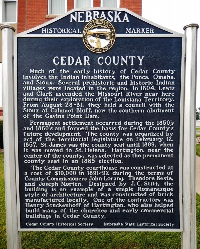
Much of the early history of Cedar County involves the Indian inhabitants, the Ponca, Omaha, and Sioux. Several prehistoric and historic Indian villages were located in the region. In 1804, Lewis and Clark ascended the Missouri River near here during their exploration of the Louisiana Territory. From August 28-31, they held a council with the Sioux at Calumet Bluff, now the southern abutment of Gavins Point Dam.
Permanent settlement occurred during the 1850’s and 1860’s and formed the basis for Cedar County’s future development. The county was organized by act of the territorial legislature on February 12, 1857. St. James was the county seat until 1869, when it was moved to St. Helena. Hartington, near the center of the county, was selected as the permanent county seat in an 1885 election.
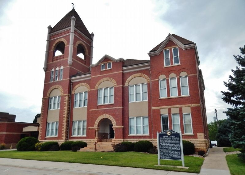
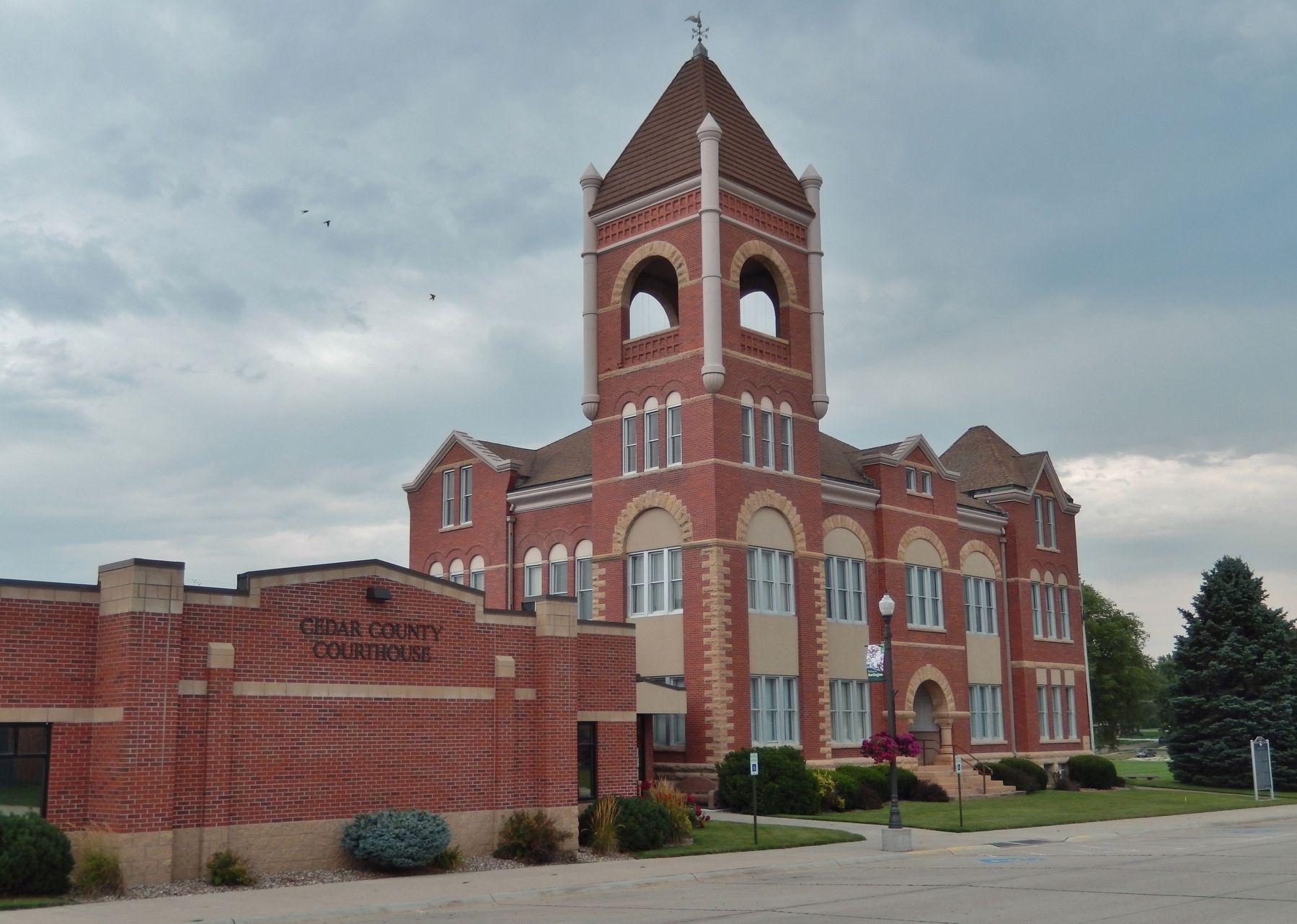
The Cedar County courthouse was constructed at a cost of $19,000 in 1891-92 during the terms of County Commissioners John Lorang, Theodore Beste, and Joseph Morten. Designed by J. C. Stitt, the building is an example of a simple Romanesque style of architecture and was constructed of brick manufactured locally. One of the contractors
this page online
Erected by Cedar County Historical Society; and Nebraska State Historical Society. (Marker Number 204.)
Topics and series. This historical marker is listed in these topic lists: Architecture • Exploration • Indigenous Peoples and Communities • Settlements & Settlers. In addition, it is included in the Lewis & Clark Expedition, and the Nebraska State Historical Society series lists. A significant historical date for this entry is February 12, 1857.
Location. 42° 37.199′ N, 97° 15.871′ W. Marker is in Hartington, Nebraska, in Cedar County. It is on South Broadway Avenue north of East Franklin Street (State Highway 84), on the right when traveling north. Marker is located beside the sidewalk near the southeast corner of the Cedar County Courthouse. Touch for map. Marker is at or near this postal address: 101 South Broadway Avenue, Hartington NE 68739, United States of America. Touch for directions.

Regionally, this marker is in Eastern Nebraska. It is also in the American Midwest, in the Corn Belt, and
Photographed by Cosmos Mariner, August 7, 2021
2. Cedar County Marker
Other nearby markers. At least 3 other markers are within 15 miles of this marker, measured as the crow flies: Hartington - Home of two Nebraska Governors (approx. 0.2 miles away); This memorial is erected to the memory of the children of Pheobe, Ann and Henson Wiseman (approx. 13 miles away); Trinity Lutheran Church (approx. 15 miles away in South Dakota).
Also see . . . Cedar County, Nebraska. The Kansas-Nebraska Act of 1854 opened the territory to white settlers for the first time. Three years later Cedar County was organized by an act of the Territorial Legislature. The boundaries of the county, which was named as such because of the number of cedar trees that were growing in the area, were redefined in 1860 to their present dimensions. (Submitted on September 7, 2021, by Cosmos Mariner of Cape Canaveral, Florida.)
Photographed by Cosmos Mariner, August 7, 2021
3. Cedar County Courthouse
Credits. This page was last revised on September 7, 2021. It was originally submitted on September 7, 2021, by Cosmos Mariner of Cape Canaveral, Florida. This page has been viewed 796 times since then and 52 times this year. Photos: 1, 2, 3. submitted on September 7, 2021, by Cosmos Mariner of Cape Canaveral, Florida.
