Near Dubberly in Webster Parish, Louisiana — The American South (West South Central)
W.R. Shadow Home

Photographed by Jason Armstrong, April 24, 2021
1. W.R. Shadow Home Marker
Topics. This historical marker is listed in these topic lists: Agriculture • Settlements & Settlers. A significant historical year for this entry is 1838.
Location. 32° 33.637′ N, 93° 14.936′ W. Marker is near Dubberly, Louisiana, in Webster Parish. It is on Louisiana Route 531 north of Shadows Lane, on the right when traveling north. Is now operated under the name of Ivy Vale Plantation. Touch for map. Marker is at or near this postal address: 2529 LA-531, Minden LA 71055, United States of America. Touch for directions.

Regionally, this marker is in North Louisiana. It is also in the American South, specifically in
this page online
Other nearby markers. At least 8 other markers are within 10 miles of this marker, measured as the crow flies: Citizens Bank & Trust Company (approx. 4.4 miles away); Germantown Colony (approx. 4½ miles away); Academy Park (approx. 4.6 miles away); Minden Historic Residential District / Ms. Mona Miriam Robinson Monk (approx. 4.7 miles away); Memorial Shrine (approx. 4.7 miles away); Davis - Green House (approx. 4.7 miles away); Homeplace of Baylus Benjamin (B.B.) McKinney (approx. 8.4 miles away); Germantown Colony And Museum (approx. 9.6 miles away).
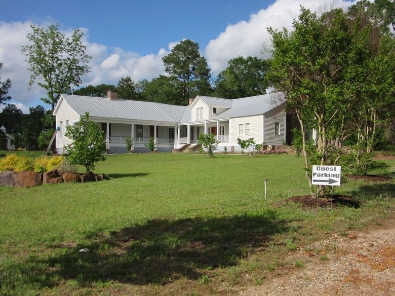
Photographed by Jason Armstrong, April 24, 2021
2. W.R. Shadow Home
Credits. This page was last revised on September 9, 2021. It was originally submitted on September 8, 2021, by Jason Armstrong of Talihina, Oklahoma. This page has been viewed 2,643 times since then and 179 times this year. Photos: 1, 2. submitted on September 8, 2021, by Jason Armstrong of Talihina, Oklahoma. • Mark Hilton was the editor who published this page.
