
Mount Edgecumbe in Sitka in Sitka Borough, Alaska — Northwest (North America)
History of Castle Hill (-1804)
Photographed by Duane and Tracy Marsteller, September 1, 2021
1. History of Castle Hill Marker
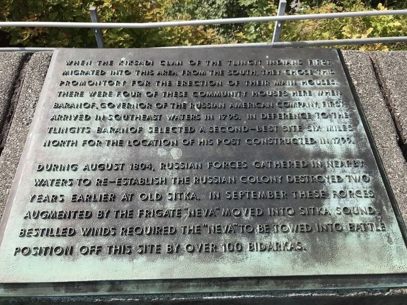
During August 1804, Russian forces gathered in nearby waters to re-establish the Russian colony destroyed two years earlier at Old Sitka. In September these forces augmented by the frigate "Neva" moved into Sitka sound. Bestilled winds required the "Neva" to be towed into battle position off this site by over 100 bidarkas.
Topics. This historical marker is listed in these topic lists: Forts and Castles • Indigenous Peoples and Communities • Wars, Non-US. A significant historical month for this entry is September 1804.
Location. 57° 2.92′ N, 135° 20.295′ W. Marker is in Sitka, Alaska, in Sitka Borough. It is in Mount Edgecumbe. It can be reached from Harbor Drive. Marker is atop Castle Hill in Baranof
this page online

Regionally, this marker is in Southeast Alaska, in Tlingit and Haida & Tsimshian Region. It is also on the American Pacific Coast. Globally, it is in North America, in the Inside Passage, on the Ring of Fire, in the Pacific Rim, in the Western Hemisphere, in the Western World, and in the Anglosphere. Historically, it finds itself in what was once the Russian Empire.
Other nearby markers. At least 8 other markers are within walking distance of this marker: Men of the Hill (here, next to this marker); Noow Tlein (here, next to this marker); Ladies of the Hill (a few steps from this marker); American Flag Raising Site (a few steps from this marker); History of Castle Hill (1804-1867) (a few steps from this marker); In This Place (a few steps from this marker); American Sitka (a few steps from this marker); Alaska Purchase (a few steps from this marker). Touch for a list and map
Photographed by Duane and Tracy Marsteller, September 1, 2021
2. History of Castle Hill Marker
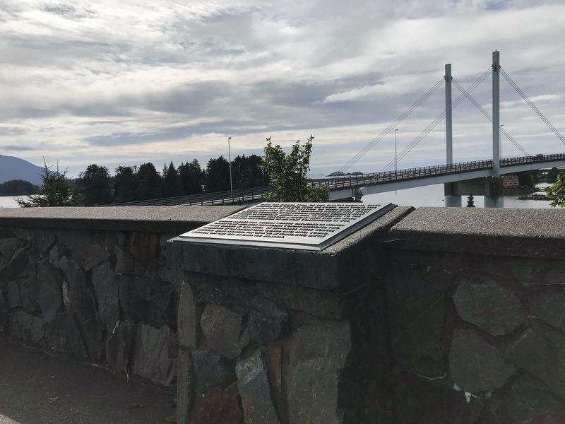
The John O'Connell Bridge over Sitka Channel is in the background.
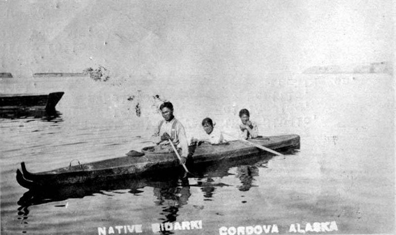
Regarding History of Castle Hill (-1804). A bidarka is a portable boat, similar to modern kayaks, that is made of animal skins stretched over wood frames. They were widely used by Alaskan coastal natives and Aleuts.
Related markers. Click here for a list of markers that are related to this marker. There are three in all.
Unknown via University of Washington Libraries, Special Collections (AWC7398), circa 1905
3. Natives in bidarka (skin boat), Cordova, Alaska
Credits. This page was last revised on September 8, 2021. It was originally submitted on September 8, 2021, by Duane and Tracy Marsteller of Murfreesboro, Tennessee. This page has been viewed 378 times since then and 24 times this year. Photos: 1, 2, 3. submitted on September 8, 2021, by Duane and Tracy Marsteller of Murfreesboro, Tennessee.
