Madison in Jefferson County, Indiana — The American Midwest (Great Lakes)
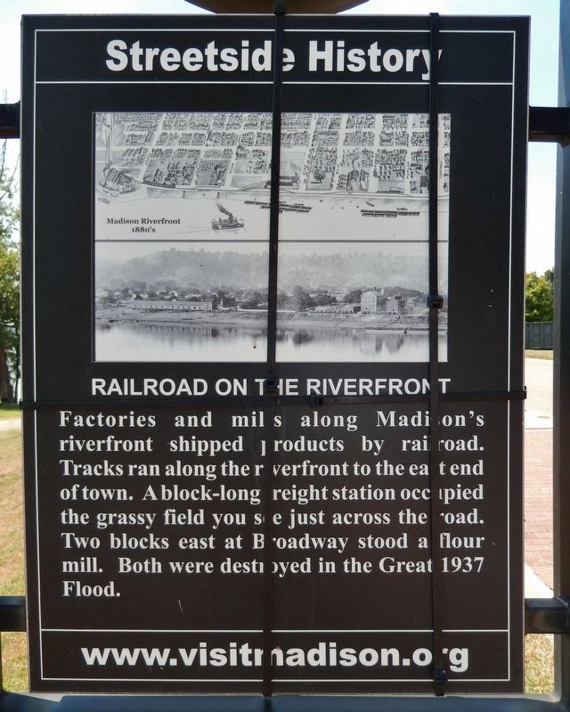
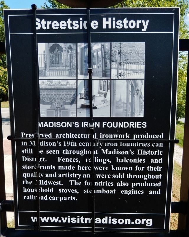
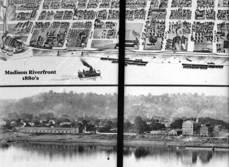
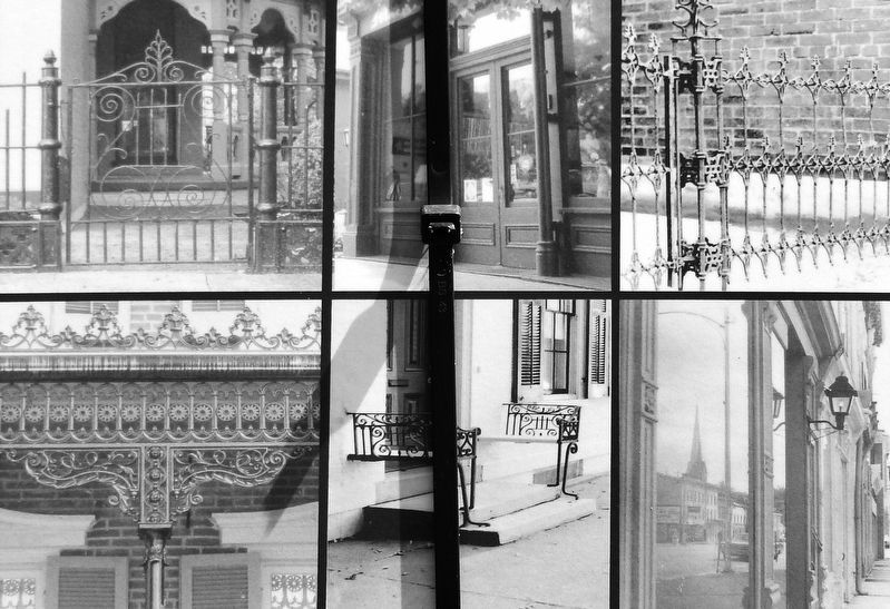
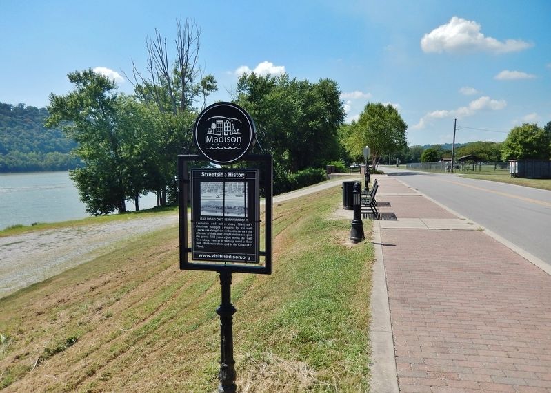
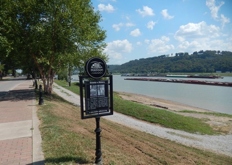
Railroad on the Riverfront / Madison's Iron Foundries
Streetside History
[east side]
[west side]
Topics. This historical marker is listed in these topic lists: Disasters • Industry & Commerce • Railroads & Streetcars • Waterways & Vessels. A significant historical year for this entry is 1937.
Location. 38° 44.052′ N, 85° 23.259′ W. Marker is in Madison, Indiana, in Jefferson County. Marker is on West Vaughn Drive east of Mill Street, on the right when traveling east. Marker is located beside the sidewalk along the Madison Riverwalk. Touch for map. Marker is in this post office area: Madison IN 47250, United States of America. Touch for directions.
Other nearby markers. At least 8 other markers are within walking distance of this marker. Madison's Riverfront / Underground Railroad (about 400 feet away, measured in a direct line); Cravens Square (about 400 feet away); Lanier's Legacy (about 600 feet away); Crystal Beach (about 800 feet away); James F. D. Lanier (approx. 0.2 miles away); Flood of 1937 / Crystal Beach Pool (approx. 0.2 miles away); Indiana's First Railroad / Madison's Boat Builders (approx. 0.2 miles away); Crawford — Whitehead — Ross House (approx. ¼ mile away). Touch for a list and map of all markers in Madison.
Related markers. Click here for a list of markers that are related to this marker. Streetside History • Madison, Indiana
Also see . . .
1. Madison Flood of 1937. Two of Madison’s fire pumpers were used to maintain city water pressure during the flood emergency, and the Indianapolis equipment was already in Madison on-duty during the crisis. Washington Fire Company No. 2 and Western Fire Company No. 3 pumped water in the city water system at the plant where the Trolley Barn is located today on west Main Street. (Submitted on September 8, 2021, by Cosmos Mariner of Cape Canaveral, Florida.)
2. Architectural Details. Madison was home to several foundries throughout the 19th century. While the companies first produced stoves, boilers, and other industrial castings, they eventually also designed and manufactured cast iron store fronts, fences, and decorative wrought pieces for Madison houses. Fine examples of Federal, Greek Revival, and Italianate houses sporting elaborate entrances and doorways line Madison’s streets. (Submitted on September 8, 2021, by Cosmos Mariner of Cape Canaveral, Florida.)
Credits. This page was last revised on September 9, 2021. It was originally submitted on September 8, 2021, by Cosmos Mariner of Cape Canaveral, Florida. This page has been viewed 181 times since then and 38 times this year. Photos: 1, 2, 3, 4, 5, 6. submitted on September 8, 2021, by Cosmos Mariner of Cape Canaveral, Florida.
