West Quincy in Marion County, Missouri — The American Midwest (Upper Plains)
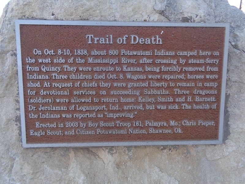
Trail of Death
Photographed by Jason Voigt, September 8, 2021
1. Trail of Death Marker
Erected 2003 by Boy Scout Troop 161, Palmyra, Mo.; Chris Pieper, Eagle Scout; and Citizen Potawatomi Nation, Shawnee, Ok.
Topics and series. This historical marker is listed in these topic lists: Indigenous Peoples and Communities • Religion & Religious Structures. In addition, it is included in the Potawatomi Trail of Death series list. A significant historical year for this entry is 1838.
Location. 39° 55.738′ N, 91° 26.682′ W. Marker is in West Quincy, Missouri, in Marion County. It is on U.S. 24 west of County Highway 357, on the
this page online

Regionally, this marker is in Mark Twain Country. It is also in the American Midwest, in the Lewis & Clark Corridor, in the Corn Belt, and in the Great River Road Region. Globally, it is in North America, the Western Hemisphere, the Western World, and the Anglosphere. Historically, it finds itself in what was once the territory of the Mississippian Culture, the Louisiana Purchase, and the Antebellum South.
Other nearby markers. At least 8 other markers are within 2 miles of this marker, measured as the crow flies: The Lord's Cabin (approx. 1.4 miles away in Illinois); Stone Smokehouse (approx. 1½ miles away in Illinois); Indian Removals - A Memorial (approx. 1½ miles away in Illinois); Navy Reserve (approx. 1.6 miles away in Illinois); Ulysses S. Grant (approx. 1.6 miles away in Illinois); The Latter-Day Saints in Quincy (approx. 1.6 miles away in Illinois); Steamboats and Railroads (approx. 1.6 miles away in Illinois);
Photographed by Jason Voigt, September 8, 2021
2. Trail of Death Marker
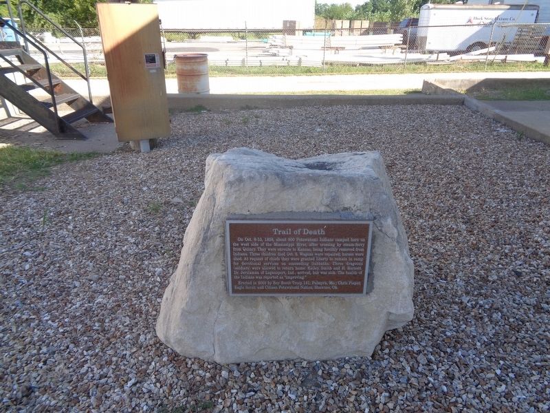
close-up of marker on rock
Photographed by Jason Voigt, September 8, 2021
3. Trail of Death Marker
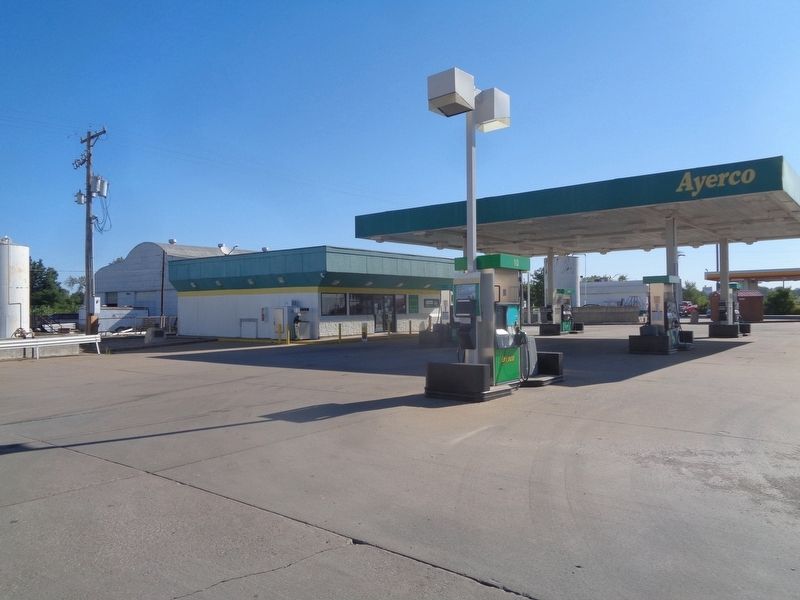
Marker is located at Ayerco gas station, to the left of the building.
Credits. This page was last revised on September 8, 2021. It was originally submitted on September 8, 2021, by Jason Voigt of Glen Carbon, Illinois. This page has been viewed 431 times since then and 31 times this year. Photos: 1, 2, 3. submitted on September 8, 2021, by Jason Voigt of Glen Carbon, Illinois.
