Appleton City in St. Clair County, Missouri — The American Midwest (Upper Plains)
Appleton City, Missouri
Photographed by Linda Lampkin, September 9, 2021
1. Appleton City, Missouri Marker
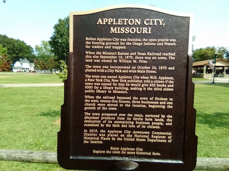
Before Appleton City was founded, the open prairie was the hunting grounds for the Osage Indians and French fur traders and trappers.
When the Missouri Kansas and Texas Railroad reached this site in September 10, 1870, where was no town. The land was owned by William M. Prier.
The town was incorporated on October 24, 1870 and platted with a City Park and wide Main Street.
The town was named Appleton City when W.H. Appleton, a New York City, New York publisher, told a citizen if the town was named for him he would give 500 books and $300 for a library building, making it the third oldest public library in Missouri.
When the railroad bypassed the town of Hudson to the west, twenty-five houses, three businesses and one church were moved to the location, beginning the growth of the town.
The town prospered over the years, nurtured by the abundant products from its fertile farm lands, and the dedication of its enterprising business people, and sustained by the faith and love of its citizens.
In 2019, the Appleton City downtown Commercial District was placed on the National Register of Historical Places by
this page online
Explore the town for more historical facts.
Topics. This historical marker is listed in these topic lists: Indigenous Peoples and Communities • Industry & Commerce • Railroads & Streetcars • Settlements & Settlers. A significant historical date for this entry is September 10, 1870.
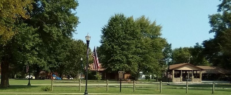
Location. 38° 11.437′ N, 94° 1.535′ W. Marker is in Appleton City, Missouri, in St. Clair County. It is on East 4th Street (State Highway 52) just west of North Locust Street, on the right when traveling west. The marker stands in Forest Park. Touch for map. Marker is at or near this postal address: 210 E 4th St, Appleton City MO 64724, United States of America. Touch for directions.

Regionally, this marker is in Southwest Missouri. It is also in the American Lewis & Clark Corridor and in the Corn Belt. Globally, it is in North America, the Western Hemisphere, the Western World, and the Anglosphere. Historically, it finds itself in what was once the territory of the Mississippian Culture, the Louisiana Purchase, and the Antebellum South.
Other nearby markers. At least 4 other
Photographed by Linda Lampkin, August 27, 2021
2. Appleton City, Missouri Marker
Photographed by Linda Lampkin, September 9, 2021
3. Appleton City, Missouri Marker
Credits. This page was last revised on September 9, 2021. It was originally submitted on September 9, 2021, by Linda Lampkin of Appleton City, Missouri. This page has been viewed 1,386 times since then and 110 times this year. Photos: 1, 2, 3. submitted on September 9, 2021, by Linda Lampkin of Appleton City, Missouri. • Devry Becker Jones was the editor who published this page.
