Near Pawnee in Pawnee County, Oklahoma — The American South (West South Central)
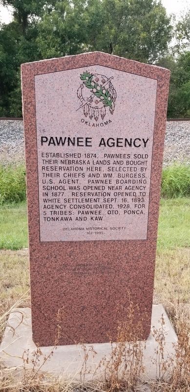
Pawnee Agency
Photographed by James Hulse, September 10, 2021
1. Pawnee Agency Marker
Erected 1995 by Oklahoma Historical Society.
Topics. This historical marker is listed in this topic list: Indigenous Peoples and Communities. A significant historical date for this entry is September 16, 1893.
Location. 36° 19.828′ N, 96° 49.199′ W. Marker is near Pawnee, Oklahoma, in Pawnee County. It is on U.S. 64 ¼ mile west of Pawnee Bill Road, on the right when traveling west. The marker is located along the Highway at a small pullout. Touch for map. Marker is in this post office area: Pawnee OK 74058, United States of America. Touch for directions.

Regionally, this marker is in Northeast Oklahoma—Green Country and in Greater Tulsa. It is also in the American South, specifically on the prairies, and on the Southern Plains. Globally, it is in North America, the Western Hemisphere, the Western World, and the Anglosphere. Historically, it finds itself in what was once the territory of the Mississippian Culture and also the Louisiana Purchase.
Other nearby markers. At least 8 other markers are within walking distance of this marker: The Log Cabin (approx. 0.2 miles away); Earth Lodge (approx. 0.2 miles away); The Barn (approx. 0.2 miles away); The Blacksmith Shop (approx. 0.2 miles away); The Windmill (approx. 0.2 miles away); The Observation Tower (approx. 0.2 miles away); Pawnee Bill Ranch and Museum (approx. 0.2 miles away); The Carriage House (approx. 0.2 miles away). Touch for a list and map of all markers in Pawnee.
this page online
Photographed by James Hulse, September 10, 2021
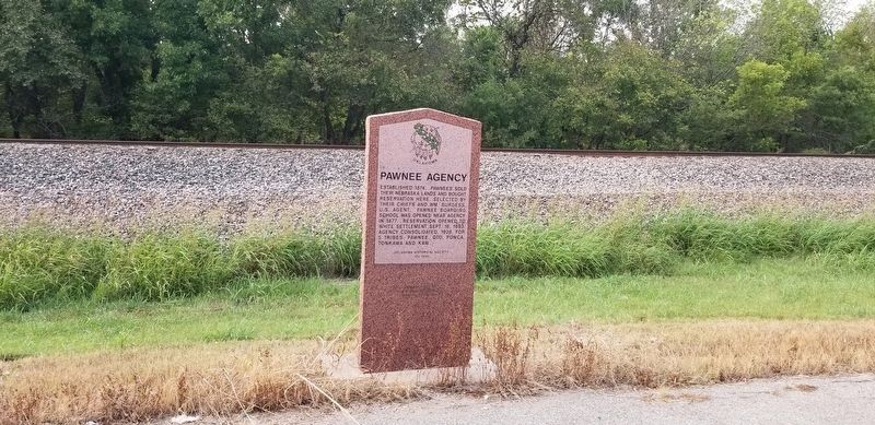
2. Pawnee Agency Marker
Photographed by James Hulse, September 10, 2021
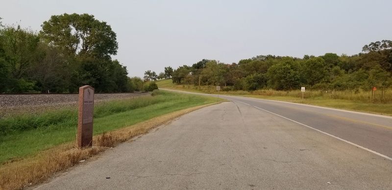
3. The view of the Pawnee Agency Marker from the road
Credits. This page was last revised on September 11, 2021. It was originally submitted on September 10, 2021, by James Hulse of Medina, Texas. This page has been viewed 337 times since then and 22 times this year. Photos: 1, 2, 3. submitted on September 10, 2021, by James Hulse of Medina, Texas.
