Waurika in Jefferson County, Oklahoma — The American South (West South Central)
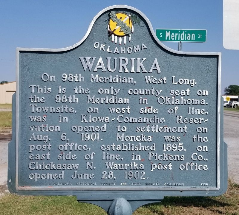
Waurika
On 98th Meridian, West Long.
Photographed by James Hulse, September 8, 2021
1. Waurika Marker
Erected 1956 by Oklahoma Historical Society and State Highway Commission.
Topics. This historical marker is listed in these topic lists: Indigenous Peoples and Communities • Settlements & Settlers. A significant historical date for this entry is June 28, 1902.
Location. 34° 9.509′ N, 97° 59.988′ W. Marker is in Waurika, Oklahoma, in Jefferson County. It is at the intersection of U.S. 70 and Meridian Street, on the left when traveling east on U.S. 70. The marker is located along the Highway at the intersection. Touch for map. Marker is in this post office area: Waurika OK 73573, United States of America. Touch for directions.

Regionally, this marker is in the Chickasaw Nation and in Southwest Oklahoma—Great Plains Country. It is also in the American South, specifically on the prairies, and on the Southern Plains. Globally,
this page online
Other nearby markers. At least 5 other markers are within 15 miles of this marker, measured as the crow flies: Waurika Rock Island Depot (approx. 0.3 miles away); Addington Oil Fire Memorial (approx. 6.7 miles away); Chisholm Trail Lookout Point (approx. 7½ miles away); Southwest Baptist College (approx. 7.8 miles away); Sunnyside High School (approx. 14.4 miles away).
Photographed by James Hulse, September 8, 2021
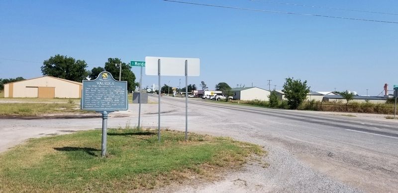
2. The view of the Waurika Marker from the road
Credits. This page was last revised on September 11, 2021. It was originally submitted on September 11, 2021, by James Hulse of Medina, Texas. This page has been viewed 521 times since then and 38 times this year. Photos: 1, 2. submitted on September 11, 2021, by James Hulse of Medina, Texas.
