Brooklyn Heights in Kings County, New York — The American Northeast (Mid-Atlantic)
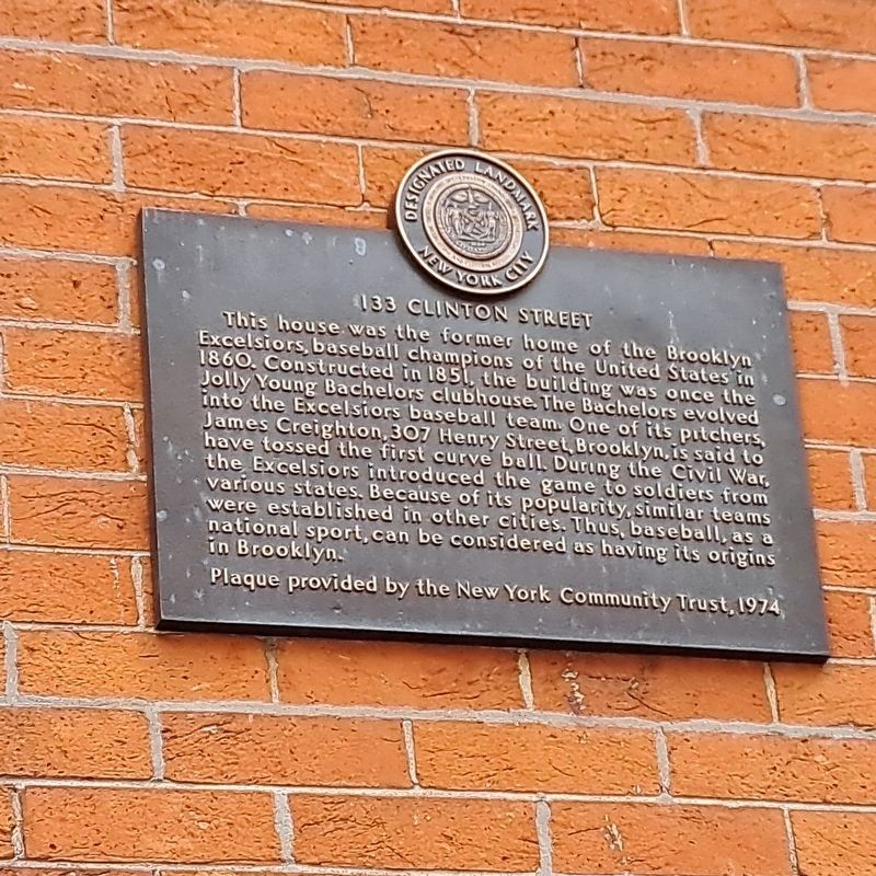
133 Clinton Street
Designated Landmark
| — | New York City | — |
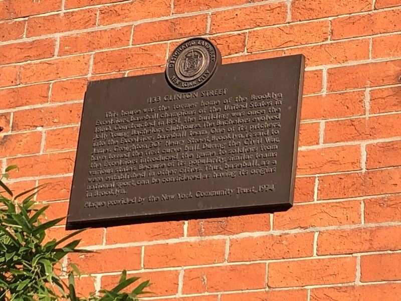
Erected 1974 by The New York Community Trust.
Topics. This historical marker is listed in these topic lists: Sports • War, US Civil. A significant historical year for this entry is 1860.
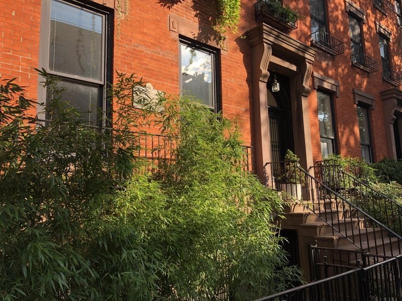
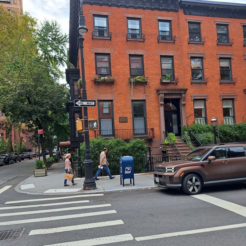
Location. 40° 41.524′ N, 73° 59.602′ W. Marker is in Brooklyn, New York, in Kings County. It is in Brooklyn Heights. It is at the intersection of Clinton Street and Livingston Street, on the right when traveling north on Clinton Street. Touch for map. Marker is at or near this postal address: 133 Clinton St, Brooklyn NY 11201,
this page online

Regionally, this marker is in New York City and on Long Island. It is also in the American Northeast, in the Mid-Atlantic, and on the Eastern Seaboard. Globally, it is in the North Atlantic Region, North America, the Western Hemisphere, the Western World, and the Anglosphere. Historically, it finds itself in what was once New Netherland and also one of the original Thirteen Colonies.
Other nearby markers. At least 8 other markers are within walking distance of this marker: The Packer Collegiate Institute (about 300 feet away, measured in a direct line); Brooklyn Heights / Downtown Brooklyn (about 700 feet away); Brooklyn Municipal Building (approx. 0.2 miles away); a different marker also named Brooklyn Heights / Downtown Brooklyn (approx. 0.2 miles away); Circa 1846 (approx. 0.2 miles away); Garden Place (approx. 0.2 miles away); Brooklyn Borough Hall (approx. 0.2 miles away); Henry Miller (approx. 0.2 miles away). Touch for a list and map of all markers in Brooklyn.
Photographed by Jack DePalma, September 6, 2025
3. 133 Clinton Street Marker

4. Jim Crieghton
Photographed by Jack DePalma, September 15, 2025
5. 133 Clinton Street Marker
The corner building is
133 Clinton St.
Credits. This page was last revised on September 20, 2025. It was originally submitted on September 12, 2021, by Devry Becker Jones of Washington, District of Columbia. This page has been viewed 901 times since then and 66 times this year. Photos: 1, 2. submitted on September 12, 2021, by Devry Becker Jones of Washington, District of Columbia. 3, 4. submitted on September 14, 2025, by Jack DePalma of Brooklyn,NY, New York. 5. submitted on September 16, 2025, by Jack DePalma of Brooklyn,NY, New York.
Editor’s want-list for this marker. Photo of building. • Can you help?
