
Bryantown in Charles County, Maryland — The American Northeast (Mid-Atlantic)
Village of Bryantown
Commercial Center
| — | John Wilkes Booth — Chasing Lincoln's Assassin | — |
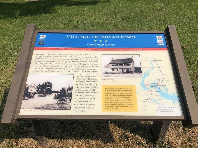
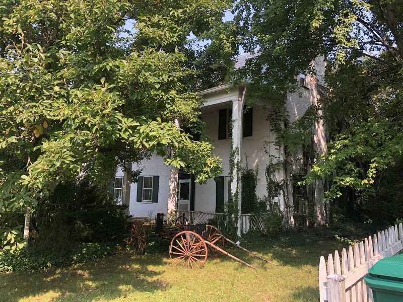
This building is the Bryantown Tavern, constructed about 1815. On April 15, 1865, the morning after President Abraham Lincoln's assassination, Lt. David D. Dana made it his headquarters while pursuing John Wilkes Booth, the assassin, with a detachment of the 13th New York Cavalry. Unknown to Dana, Booth was only four miles north at the home of Dr. Samuel A. Mudd, who treated Booth's broken leg. Though Booth had visited Bryantown several times in 1864, he did not pass through here during his escape, but swung east after leaving Mudd's house. Col. Henry H. Wells, in overall command of the pursuing forces, soon occupied the tavern, and it later served briefly as the headquarters of Gen. Winfield Scott Hancock, who arrived on April 27. In the interim, Mudd and others were brought here for questioning, and several (including the doctor) remained here before they were transferred to jail in Washington.
The crossroads village of Bryantown dates to the colonial era, and by its heyday in the 1850s, it had become a commercial center with stores, mills, and taverns. During the Civil War, James H. Montgomery operated the tavern. Of its seventeen antebellum building, only four remain standing, and one of these is the Bryantown Tavern. The tavern is the oldest commercial structure in Charles County. It served as an inn and post office for more than a century, and is now a private home.
Erected by Maryland
this page online
Topics and series. This historical marker is listed in these topic lists: Industry & Commerce • Settlements & Settlers • War, US Civil. In addition, it is included in the Maryland Civil War Trails series list. A significant historical date for this entry is April 15, 1865.
Location. 38° 33.291′ N, 76° 50.583′ W. Marker is in Bryantown, Maryland, in Charles County. It is on Trotter Road. Touch for map. Marker is in this post office area: Bryantown MD 20617, United States of America. Touch for directions.

Regionally, this marker is in the Washington Metropolitan Area and in Southern Maryland. It is also in the American South, specifically in the Upper South, in the Mid-Atlantic, in the Tidewater, and on the Eastern Seaboard. Globally, it is in the North Atlantic Region, North America, the Western Hemisphere, the Western World, and the Anglosphere. Historically, it finds itself in what was once one of the original Thirteen Colonies and also the Antebellum South.
Other nearby markers. At least 8 other markers are within 4 miles of this marker, measured as the crow flies: Boarman's Manor (approx. 1.1 miles

Other markers no longer nearby. Village of Bryantown (was a few steps from this marker but has been replaced with another marker now near it); Dr. Samuel A. Mudd (was approx. 3.9 miles away but has been replaced with another marker now near it).
Related marker. Click here for another marker that is related to this marker. This marker has replaced the linked marker.
Photographed by Devry Becker Jones (CC0), September 12, 2021
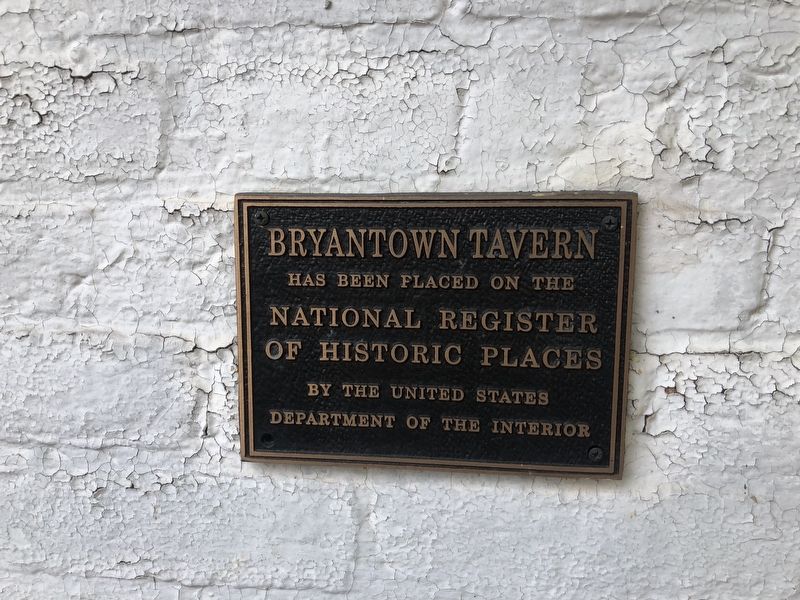
3. National Register of Historic Places plaque on the Bryantown Tavern
Credits. This page was last revised on September 12, 2021. It was originally submitted on September 12, 2021, by Devry Becker Jones of Washington, District of Columbia. This page has been viewed 1,711 times since then and 150 times this year. Photos: 1, 2, 3, 4. submitted on September 12, 2021, by Devry Becker Jones of Washington, District of Columbia.
