Tishomingo in Johnston County, Oklahoma — The American South (West South Central)
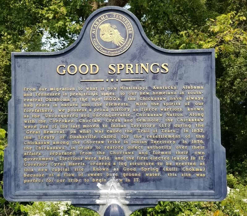
Good Springs
Erected by Alabama - Tennessee, Trail of Tears Corridor Committee.
Topics. This historical marker is listed in these topic lists: Native Americans • Parks & Recreational Areas. A significant historical year for this entry is 1837.
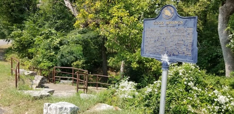
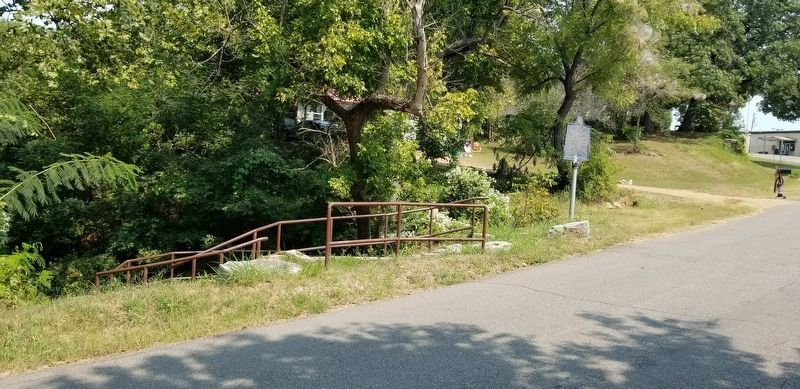
Location. 34° 14.132′ N, 96° 40.971′ W. Marker is in Tishomingo, Oklahoma, in Johnston County. Marker is on Ray Branum Road, 0.1 miles west of South Capital Avenue, on the right when traveling west. The marker is located at a small Veterans Memorial Park. Touch for map. Marker is at or near this postal address: 206 Ray Branum Road, Tishomingo OK 73460, United States of America. Touch for directions.
Other nearby markers. At least 8 other markers are within walking distance of this marker. Lest We Forget - Vietnam (a few steps from this marker); Lest We Forget - Korea (a few steps from this marker); Lest We Forget - Persian Gulf (a few steps from this marker); Lest We Forget - World War II (within shouting distance of this marker); Lest We Forget - World War I (within shouting distance of this marker); Richard Miles McCool Jr. (within shouting distance of this marker); CDR. Clarence "Smokey" Tolbert USN (within shouting distance of this marker); Lest We Forget (within shouting distance of this marker). Touch for a list and map of all markers in Tishomingo.
Also see . . . Trail of Tears - Choctaw Removal.
Nearly 17,000 Choctaws made the move to what would be called Indian Territory and then later Oklahoma. About 2,500–6,000 died along the trail of tears. Approximately 5,000–6,000 Choctaws remained in Mississippi in 1831 after the initial removal efforts. The Choctaws who chose to remain in newly formed Mississippi were subject to legal conflict, harassment, and intimidation. The Choctaws "have had our habitations torn down and burned, our fences destroyed, cattle turned into our fields and we ourselves have been scourged, manacled, fettered and otherwise personally abused, until by such treatment some of our best men have died". The Choctaws in Mississippi were later reformed as the Mississippi Band of Choctaw Indians and the removed Choctaws became the Choctaw Nation of Oklahoma. The Choctaws were the first to sign a removal treaty presented by the federal government. President Andrew Jackson wanted strong negotiations with the Choctaws in Mississippi, and the Choctaws seemed much more cooperative than Andrew Jackson had imagined. When commissioners and Choctaws came to negotiation agreements it was said the United States would bear the expense of moving their homes and that they had to be removed within two and a half years of the signed treaty. Source: Wikipedia(Submitted on September 13, 2021, by James Hulse of Medina, Texas.)
Credits. This page was last revised on September 13, 2021. It was originally submitted on September 13, 2021, by James Hulse of Medina, Texas. This page has been viewed 397 times since then and 54 times this year. Photos: 1, 2, 3. submitted on September 13, 2021, by James Hulse of Medina, Texas.


