Cromwell in Seminole County, Oklahoma — The American South (West South Central)
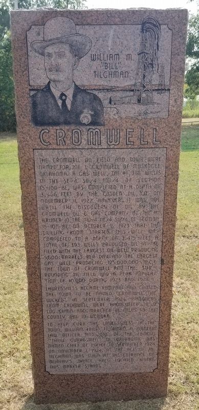
Cromwell
William M. "Bill" Tilghman
Lawlessness became rampant and caused the town to be named "Cromwell the Wicked". In September, 1924, prisoners from Cromwell were handcuffed to a log chain and marched 14 mlles to the county jail in Wewoka.
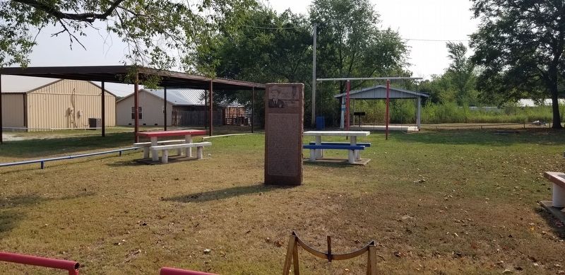
To help curb the lawlessiess in the town, William (Bill) Tilghman, a pioneer law officer and one of the famous "Three Guardsmen" of Oklahoma was named Chief of Police in September, 1924. On November 1, 1924, at the age of 70, Tilghman was slain at the entrance of Murphy's Dance Hall located where this marker stands.
Erected by Cromwell Alumni Association, Historical Marker Committee, Loyd Morgan, Mayor Marvin Emerson and Oklahoma Historical Society.
Topics. This historical marker is listed in these topic lists: Industry & Commerce • Law Enforcement • Parks & Recreational Areas. A significant historical month for this entry is September 1924.
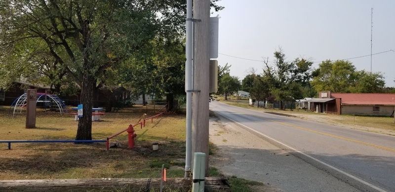
Location. 35° 20.42′ N, 96° 27.534′ W. Marker is in Cromwell, Oklahoma, in Seminole County. Marker is at the intersection of Shawnee Avenue (State Highway 56) and Jenkins Street, on the left when traveling south on Shawnee Avenue. The marker is located in a small community park. Touch for map. Marker is at or near this postal address: 104 Shawnee Avenue, Cromwell OK 74837, United States of America. Touch for directions.
Other nearby markers. At least 7 other markers are within 13 miles of this marker, measured as the crow flies. Okfuskee County, Rosenwald Schools, and Boley (approx. 10.3 miles away); Boley, Oklahoma (approx. 10.3 miles away); J.B. Boley (approx. 10.4 miles away); Founders of Boley-Pioneer (approx. 10.4 miles away); Woody Guthrie (approx. 10.8 miles away); Woody Guthrie in Okemah, Oklahoma (approx. 10.8 miles away); United States Armed Forces (approx. 12.8 miles away).
Also see . . . Bill Tilghman.
Tilghman died in 1924 at the age of 70 after being shot and killed by a corrupt prohibition agent on the streets of Cromwell, Oklahoma. Much of the fame that he has since achieved has been attributed to the efforts of his second wife, who published his biography in 1949. In 1960, he was inducted into the Hall of Great Westerners of the National Cowboy & Western Heritage Museum. Source: Wikipedia(Submitted on September 13, 2021, by James Hulse of Medina, Texas.)
Credits. This page was last revised on September 13, 2021. It was originally submitted on September 13, 2021, by James Hulse of Medina, Texas. This page has been viewed 266 times since then and 48 times this year. Photos: 1, 2, 3, 4. submitted on September 13, 2021, by James Hulse of Medina, Texas.


