Dayton's Bluff in Saint Paul in Ramsey County, Minnesota — The American Midwest (Upper Plains)
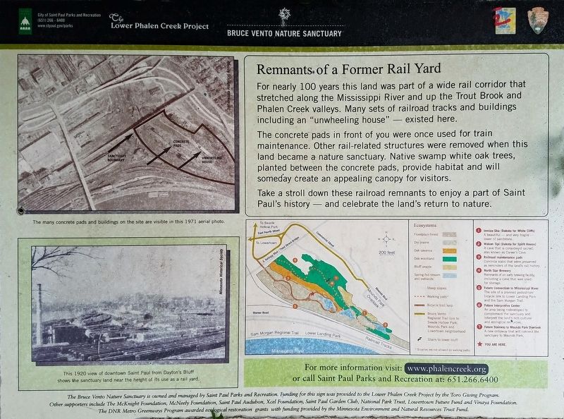
Remnants of a Former Rail Yard
— Bruce Vento Nature Sanctuary —
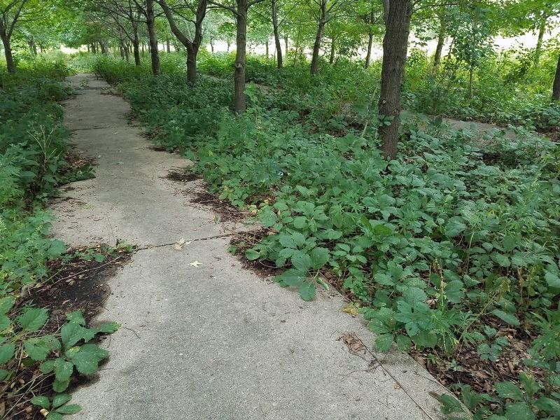
The concrete pads in front of you were once used for train maintenance. Other rail-related structures were removed when this land became a nature sanctuary. Native swamp white oak trees, planted between the concrete pads, provide habitat and will someday create an appealing canopy for visitors.
Take a stroll down these railroad remnants to enjoy a part of Saint Paul's history — and celebrate the land's return to nature.
Caption: The many concrete pads and buildings on the site are visible in this 1971 aerial photo.
Caption: This 1920 view of downtown Saint Paul from Dayton's Bluff shows the sanctuary land near the height of its use as a rail yard.
Erected by Saint Paul Department of Parks and Recreation; Lower Phalen Creek Project.
Topics. This historical marker is listed in these topic lists: Parks & Recreational Areas • Railroads & Streetcars. A significant historical year for this entry is 1920.
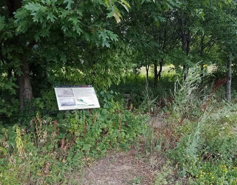
Location. 44° 57.026′ N, 93° 4.326′ W. Marker is in Saint Paul, Minnesota, in Ramsey County. It is in Dayton's Bluff. Located in Bruce Vento Nature Sanctuary, on a lightly used trail cutting through the middle of the park. It's at the southeast end of the trees planted between the former railyard pads. Touch for map. Marker is at or near this postal address: 265 Commercial St, Saint Paul MN 55106, United States of America. Touch for directions.
Other nearby markers. At least 8 other markers are within walking distance of this marker. A time of environmental and cultural change (approx. 0.2 miles away); Dakota life along Wakpa Tanka (approx. 0.2 miles away); Preserving history on the land (approx. 0.2 miles away); Nature and history in the Phalen Creek valley (approx. 0.2 miles away); Northern Pacific Railway Warehouse (approx. 0.6 miles away); Saint Paul Rubber Company (approx. 0.6 miles away); Indian Mounds Park "Airway Beacon" (approx. 0.6 miles away); Saint Paul Downtown Airport (approx. 0.7 miles away). Touch for a list and map of all markers in Saint Paul.
Credits. This page was last revised on February 12, 2023. It was originally submitted on September 13, 2021, by McGhiever of Minneapolis, Minnesota. This page has been viewed 282 times since then and 26 times this year. Photos: 1, 2, 3. submitted on September 13, 2021, by McGhiever of Minneapolis, Minnesota. • Mark Hilton was the editor who published this page.


