Doddridge in Miller County, Arkansas — The American South (West South Central)
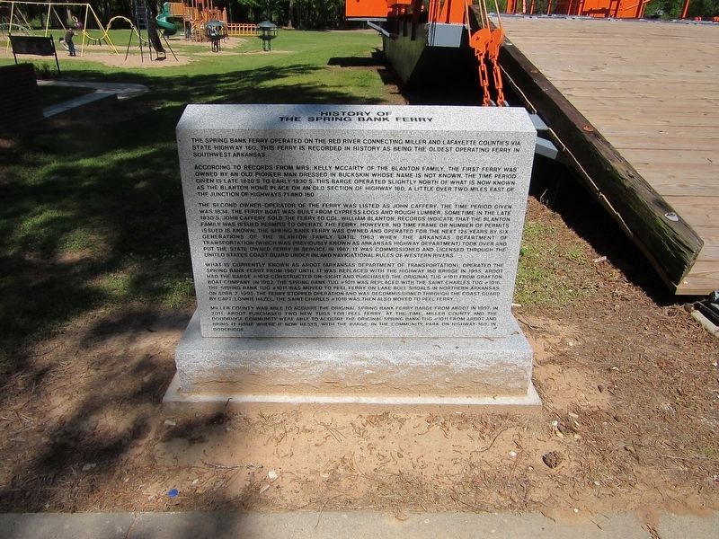
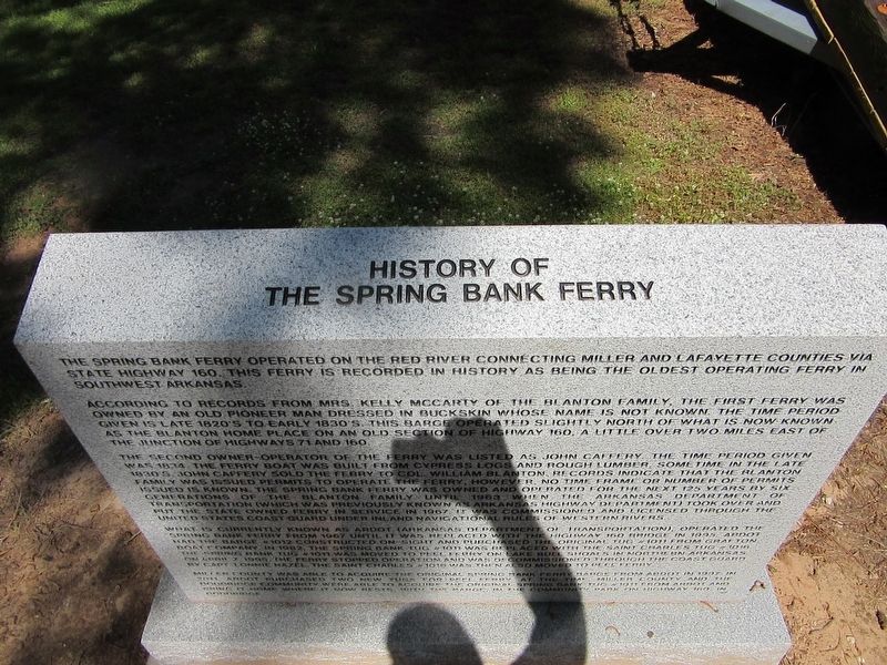
History of The Spring Bank Ferry
The Spring Bank Ferry operated on the Red River connection Miller and Lafayette counties via state Highway 160. This ferry is recorded in history as being the oldest operating ferry in southwest Arkansas.
According to records from Mrs. Kelly McCarty of the Blanton Family, the first ferry was owned by an old pioneer man dressed in buckskin whose name is not known. The time period given is late 1820's to early 1830's. This barge operated slightly north of what is now known as the Blanton home place on an old section of Highway 160. A little over two miles east of the junction of Highway 71 and 160.
The second owner-operator of the ferry was listed as John Caffery. The time period given was 1834. The ferry boat was built from cypress logs and rough lumber. Sometime in the late 1830's John Caffery sold the ferry to Col. William Blanton. Records indicate that the Blanton family was issued permits to operate the ferry, however, no time frame or number of permits issued is known. The Spring Bank Ferry was owned and operated for the next 125 years by six generations of the Blanton family until 1963 when the Arkansas Department of Transportation (which was previously known as Arkansas Highway Department) took over and put the state owned ferry in service in 1967. It was commissioned and licensed through the United States Coast Guard under Inland navigational rules of western rivers.
What is currently known as ARDOT (Arkansas Department of Transportation), operated the Spring Bank Ferry from 1967 until it was replaced with the highway 160 bridge in 1995. ARDPT had the barge #1012 constructed on-sight and purchased the original tug "1011 from Grafton Boat Company in 1982. The Spring Bank Tug #1011 was replaced with the Saint Charles Tug #1016. The Spring Bank tug #1011 was moved to peel ferry on Lake Bull Shoals in Northern Arkansas on April 7, 1995. The ferry stopped operation and was decommissioned through the Coast Guard by Capt. Lonnie Hazel. The Saint Charles #1016 was then also moved to Peel Ferry.
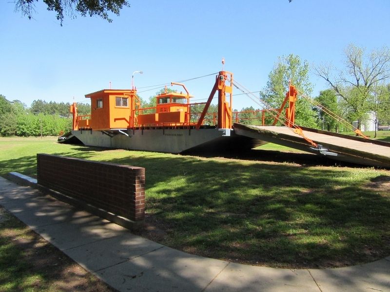
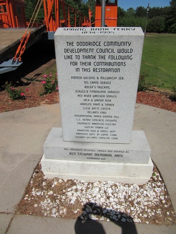
Miller County was able to acquire the original Spring Bank ferry barge from ARDOT in 1997. In 2011, ARDOT purchased two new tugs for Peel Ferry at the time Miller County and the Doddridge Community were able to acquire the original Spring Bank tug #1011 from ARDOT and bring it home where it now rests. With the barge in the community park on Highway 160 in Doddridge.
Topics. This historical marker is listed in these topic lists: Industry & Commerce • Roads & Vehicles • Waterways & Vessels. A significant historical year for this entry is 1834.
Location. 33° 5.4′ N, 93° 54.329′ W. Marker is in Doddridge, Arkansas, in Miller County. Marker is on County Road 201 south of State Highway 160, on the left when traveling south. Touch for map. Marker is at or near this postal address: 9512 AR-160, Doddridge AR 71834, United States of America. Touch for directions.
Other nearby markers. At least 8 other markers are within 14 miles of this marker, measured as the crow flies. The Spring Bank Ferry (approx. 2.6 miles away); Ida Lousiana (approx. 6 miles away in Louisiana); Ida Post Office Building (approx. 6 miles away in Louisiana); Frog Level (approx. 9.6 miles away in Louisiana); Discovery-Rodessa Oil Field (approx. 9.7 miles away in Louisiana); Brief Moments in Fouke History (approx. 11.9 miles away); a different marker also named Brief Moments in Fouke History (approx. 11.9 miles away); Hosston Methodist Church (approx. 13.9 miles away in Louisiana).
Credits. This page was last revised on March 16, 2024. It was originally submitted on September 13, 2021, by Jason Armstrong of Talihina, Oklahoma. This page has been viewed 1,005 times since then and 190 times this year. Photos: 1, 2, 3, 4. submitted on September 13, 2021, by Jason Armstrong of Talihina, Oklahoma. • Devry Becker Jones was the editor who published this page.


