Lexington Park in St. Mary's County, Maryland — The American Northeast (Mid-Atlantic)
Navy Base Arrives
Patuxent River Naval Air Station
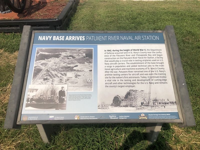
Erected by Commissioners of St. Mary's County; St. Mary's County Museum Division; Friends of the St. Clement's Island and Piney Point Museums; Destination Southern Maryland; Maryland Heritage Area Authority (MHAA).
Topics. This historical marker is listed in these topic lists: Air & Space • Forts and Castles • War, World II • Waterways & Vessels. A significant historical year for this entry is 1942.
Location. 38° 15.686′ N,
this page online

Regionally, this marker is in Southern Maryland. It is also in the American South, specifically in the Upper South, in the Mid-Atlantic, in the Tidewater, in the Chesapeake Bay Region, and on the Eastern Seaboard. Globally, it is in the North Atlantic Region, North America, the Western Hemisphere, the Western World, and the Anglosphere. Historically, it finds itself in what was once one of the original Thirteen Colonies and also the Antebellum South.
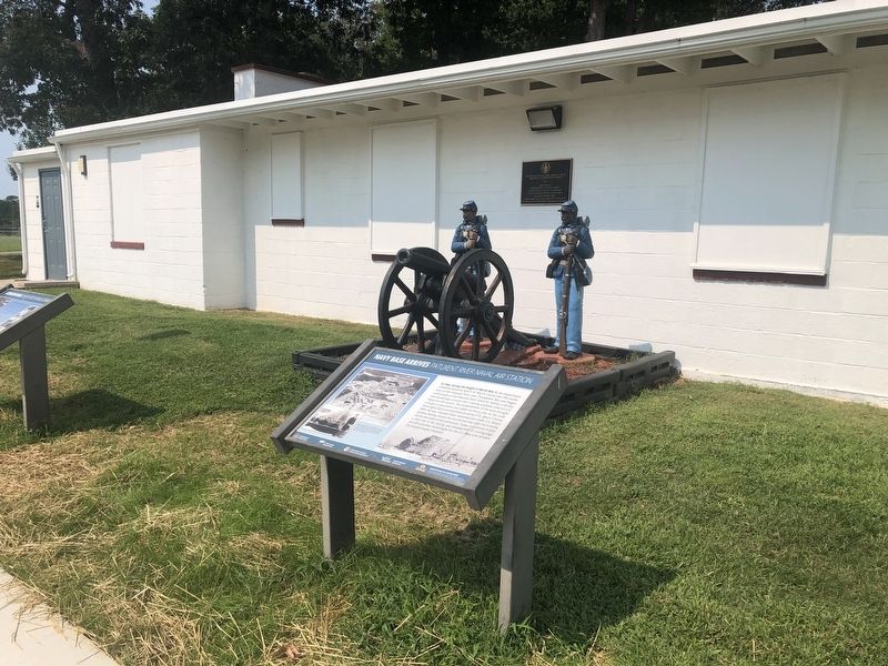
Other nearby markers. At least 8 other markers are within walking distance of this marker: St. Mary’s County and U.S. Navy History (here, next to this marker); Architectural Significance of the First Lexington Park Community (here, next to this marker); Lexington Park (here, next to this marker); The Great Depression and New Opportunities
Credits. This page was last revised on September 13, 2021. It was originally submitted on September 13, 2021, by Devry Becker Jones of Washington, District of Columbia. This page has been viewed 220 times since then and 15 times this year. Photos: 1, 2. submitted on September 13, 2021, by Devry Becker Jones of Washington, District of Columbia.
