Near Monroe in Platte County, Nebraska — The American Midwest (Upper Plains)
West Hill Community
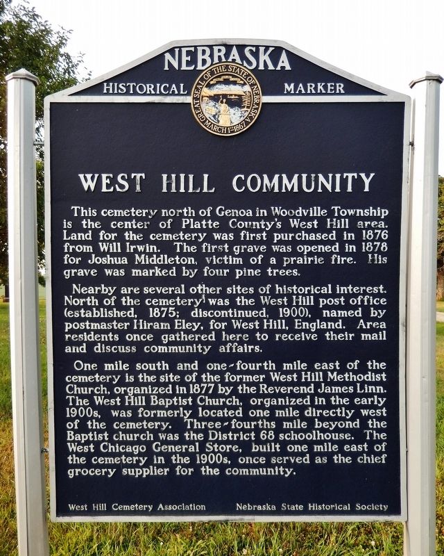
This cemetery north of Genoa in Woodville Township is the center of Platte County’s West Hill area. Land for the cemetery was first purchased in 1876 from Will Irwin. The first grave was opened in 1878 for Joshua Middleton, victim of a prairie fire. His grave was marked by four pine trees.
Nearby are several other sites of historical interest. North of the cemetery was the West Hill post office (established, 1875; discontinued, 1900), named by postmaster Hiram Eley for West Hill, England. Area residents once gathered here to receive their mail and discuss community affairs.
One mile south and one-fourth mile east of the cemetery is the site of the former West Hill Methodist Church, organized in 1877 by the Reverend James Linn. The West Hill Baptist Church, organized in the early 1900s, was formerly located one mile directly west of the cemetery. Three-fourths mile beyond the Baptist church was the District 68 schoolhouse. The West Chicago General Store, built one mile east of the cemetery in the 1900’s once served as the chief grocery supplier for the community.
Erected by West Hill Cemetery Association; and Nebraska State Historical Society. (Marker Number 318.)
Topics and series. This historical marker is listed in these topic lists: Cemeteries & Burial Sites • Churches & Religion • Industry & Commerce • Settlements & Settlers. In addition, it is included in the Nebraska State Historical Society series list. A significant historical year for this entry is 1876.
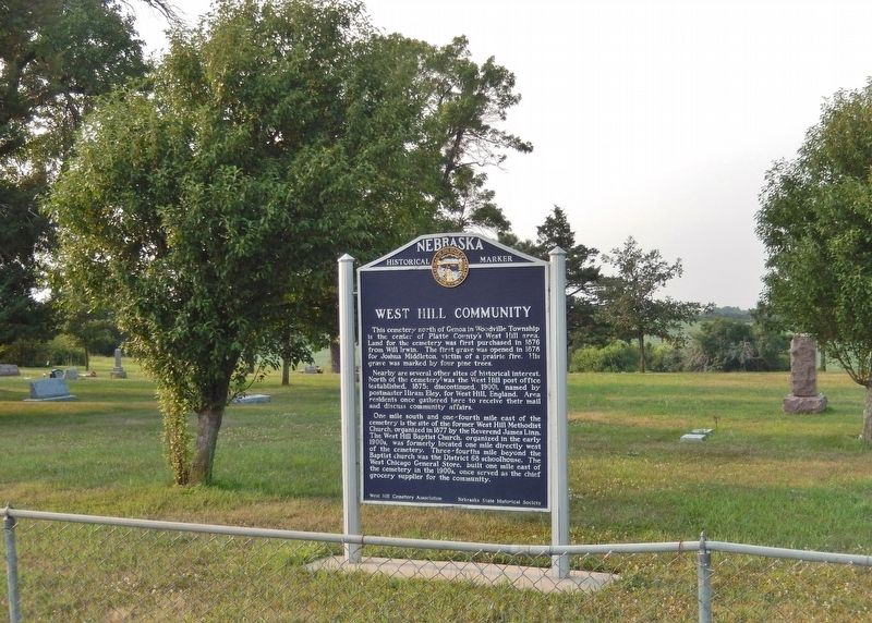
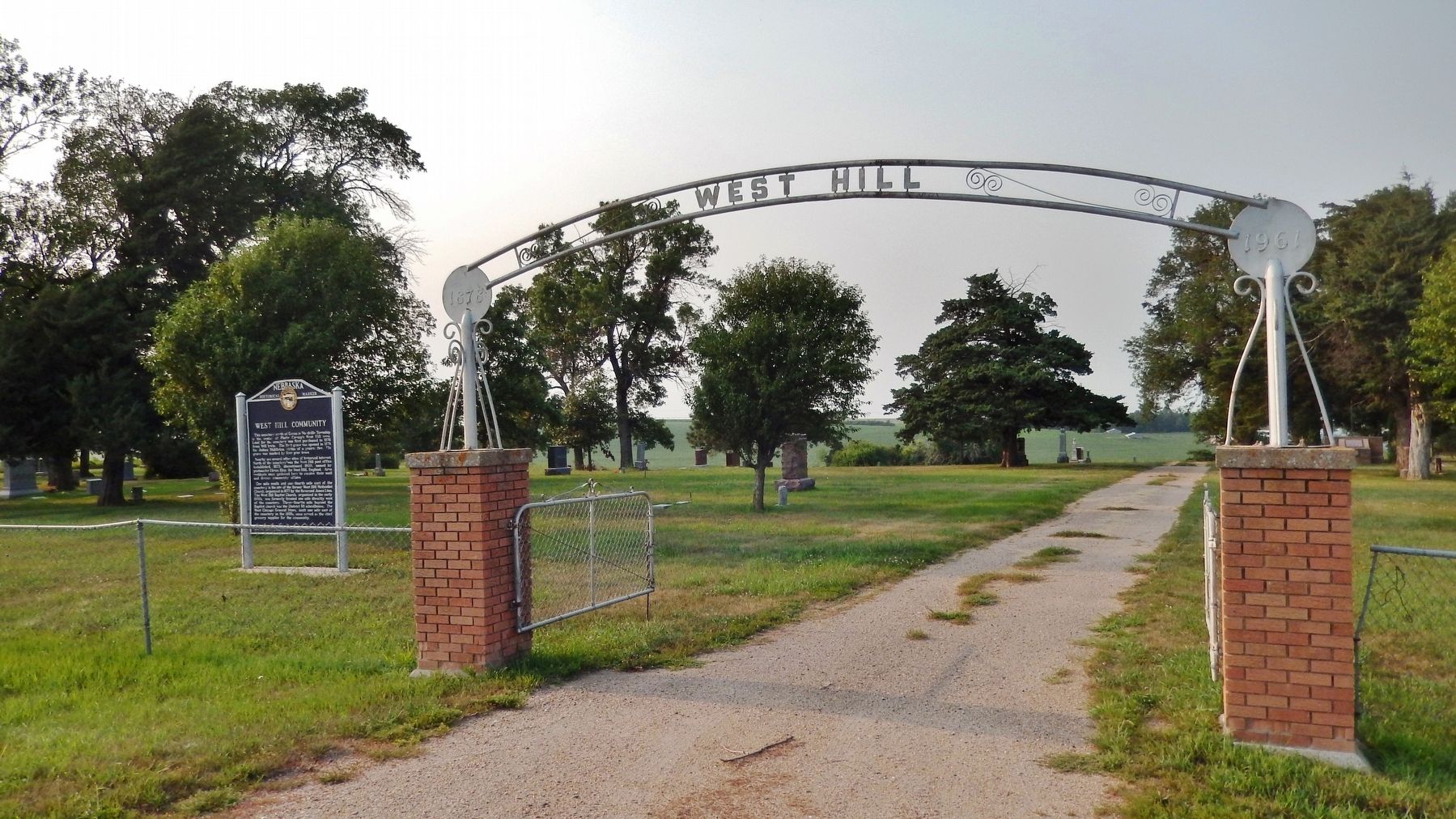
Location. 41° 33.299′ N, 97° 42.993′ W. Marker is near Monroe, Nebraska, in Platte County. Marker is on 325 Street just west of 460th Avenue, on the right when traveling west. Marker is located on the south side of West Hill Cemetery, facing 325 Street. Touch for map. Marker is in this post office area: Monroe NE 68647, United States of America. Touch for directions.
Other nearby markers. At least 8 other markers are within 16 miles of this marker, measured as the crow flies. U. S. Indian Industrial School Building (approx. 7.3 miles away); St. Edward (approx. 7.7 miles away); Genoa: 1857-1859 (approx. 7.8 miles away); Pawnee (approx. 7.8 miles away); The Zimmerers — Irrigation Innovators (approx. 10 miles away); Dedicated to the Irish Settlers (approx. 10 miles away); Granville Cemetery (approx. 11.9 miles away); Gardiner School (approx. 15.7 miles away).
Credits. This page was last revised on September 14, 2021. It was originally submitted on September 13, 2021, by Cosmos Mariner of Cape Canaveral, Florida. This page has been viewed 120 times since then and 10 times this year. Photos: 1, 2, 3. submitted on September 14, 2021, by Cosmos Mariner of Cape Canaveral, Florida.


